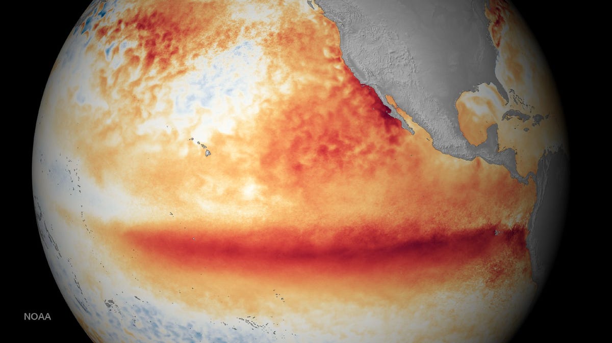
Climate models released this weekend are pointing to what could be the most powerful El Niño event in recorded history — raising the possibility of a rare “super” episode developing later this year.
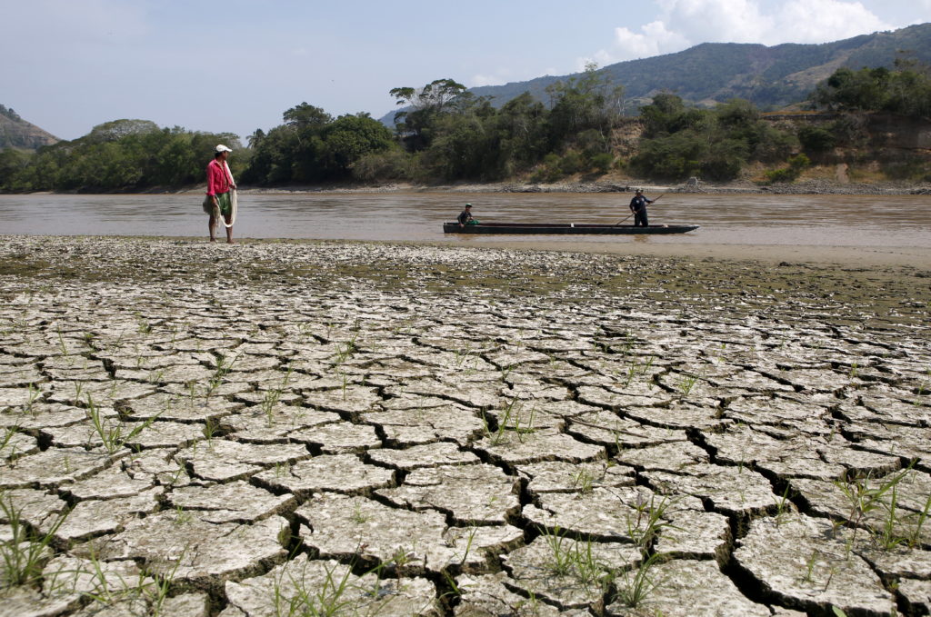
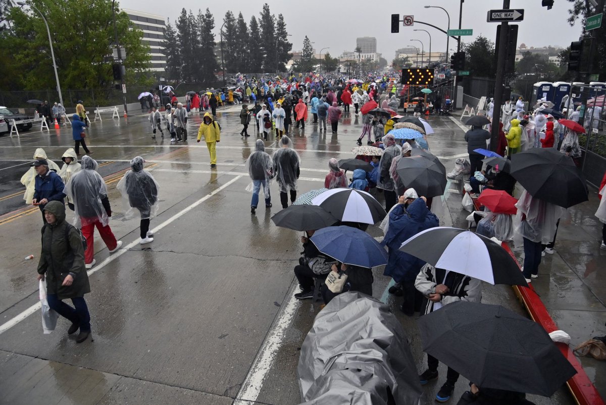
A “super” El Niño typically — also referred to as a 'Jurassic El Niño' by Colorado State University hurricane expert Phil Klotzbach — refers to unusually strong warming of sea surface temperatures across the central and eastern equatorial Pacific Ocean. That warming can disrupt global weather patterns, shifting storm tracks, rainfall and temperatures for months at a time.
Forecasters stress it’s not a certainty yet. But multiple long-range models are now trending warmer, with some pushing into territory rarely seen in modern records — a signal that has caught scientists’ attention.
2026 Hurricane Season: What would 'Jurassic El Niño' mean for Florida?
Not all El Niño events are created equal. Some are mild and have only localized effects, while others can dramatically reshape weather patterns across the globe. What makes a “Super” El Niño different is its intensity and the scope of its influence.