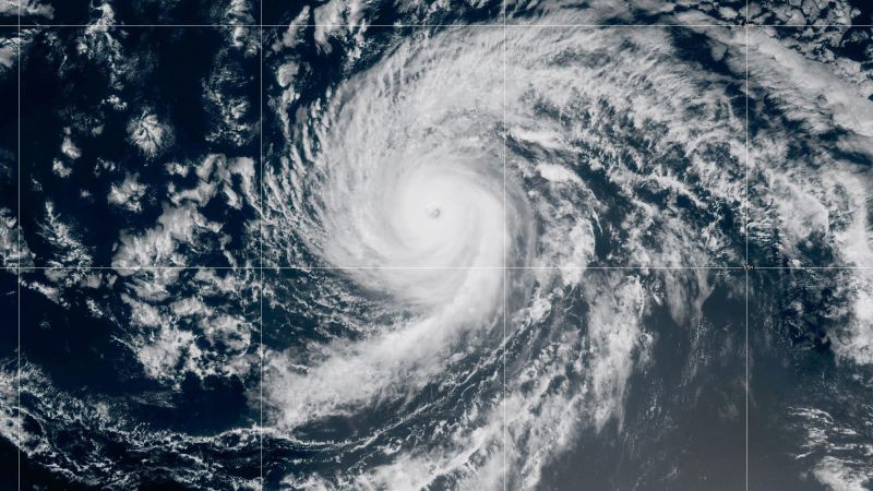
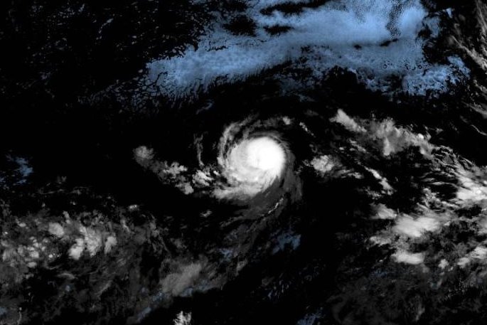
Sept. 4 (UPI) -- Hurricane Kiko weakened to a Category 3 hurricane late Thursday as it made its way northwest toward the general direction of Hawaii, forecasters said.
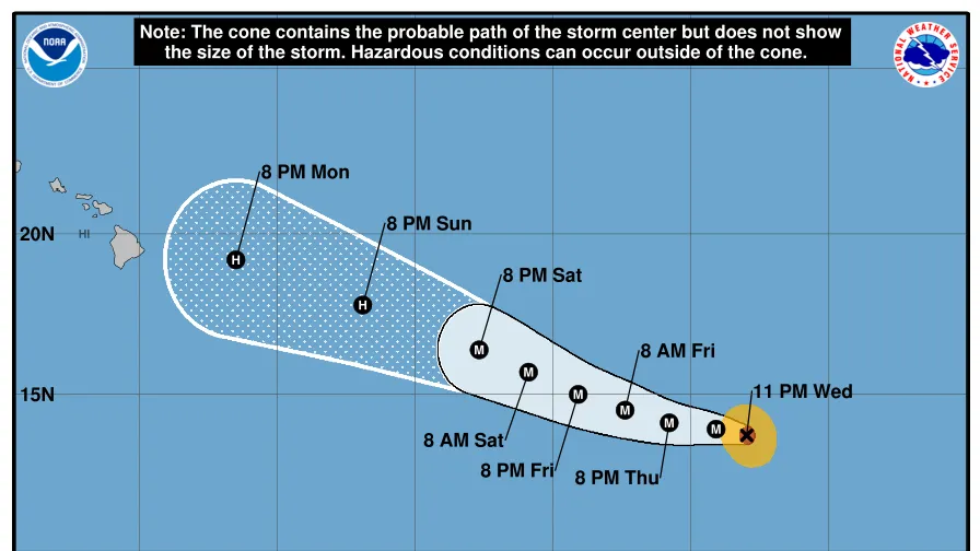
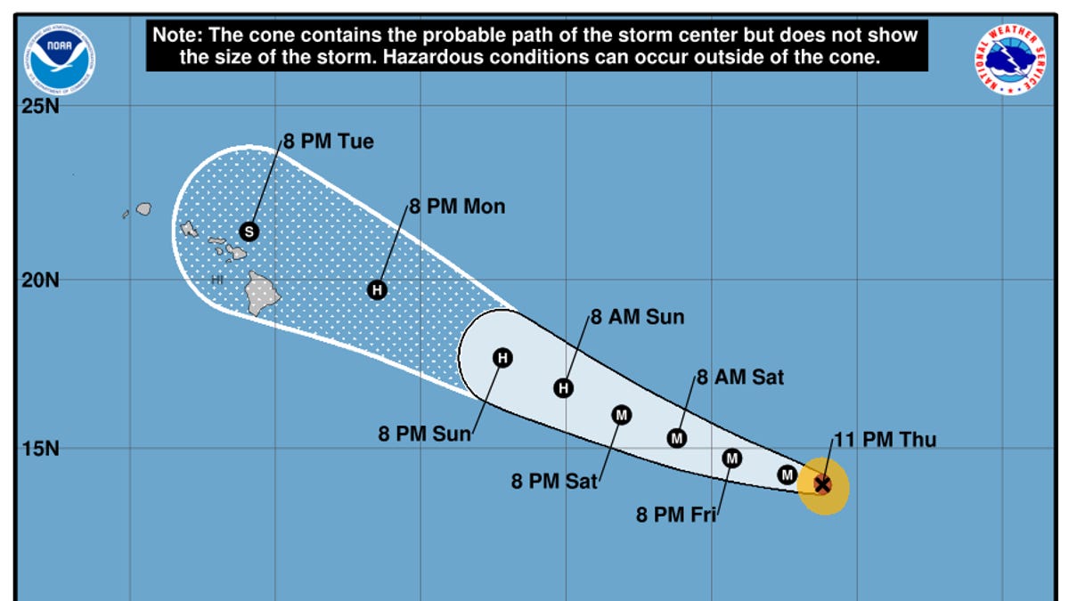
Kiko had reached Category 4 strength late Wednesday but weakened to 125 mph maximum sustained winds in the National Hurricane Center's 3 p.m. HST update. Despite the weakening, the storm is still considered a major hurricane that could cause severe damage if it reaches land.
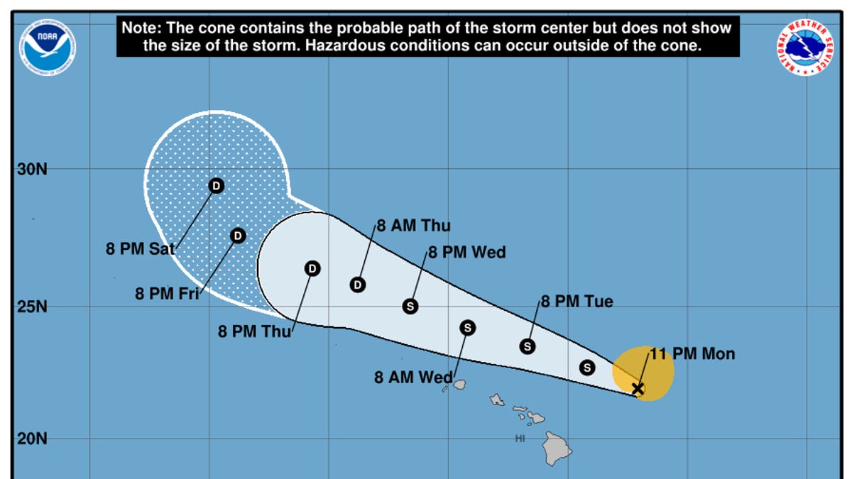
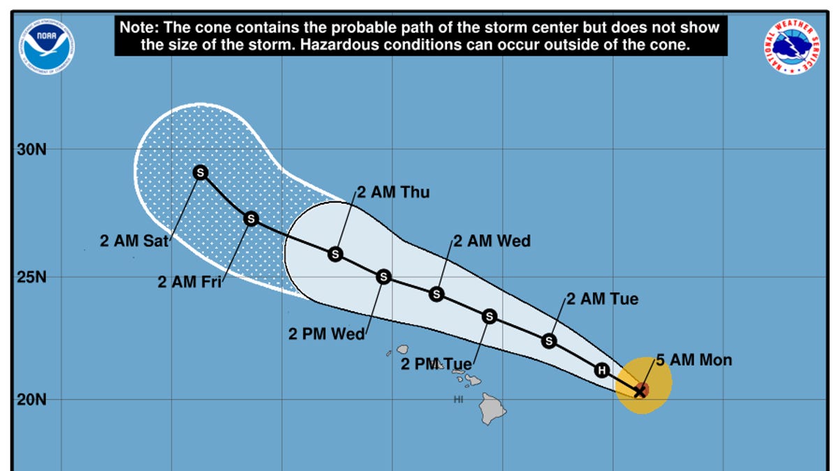
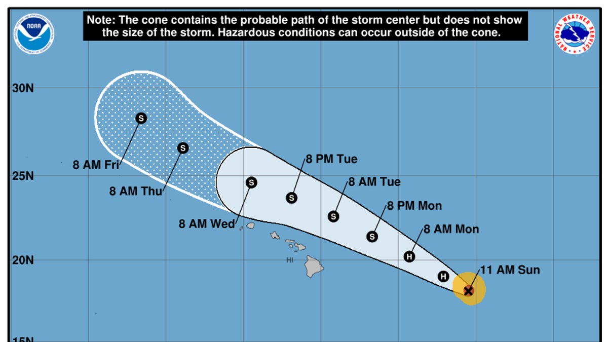
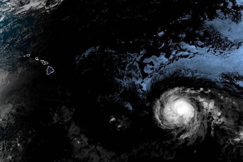
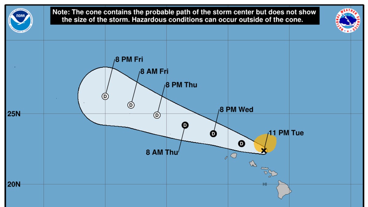
The eye of the storm was located about 1,360 miles east-southeast of Hilo, Hawaii, and 1,565 miles east-southeast of Honolulu. It was traveling west at 9 mph and was expected to continue in that direction and toward the northwest over the next several days.
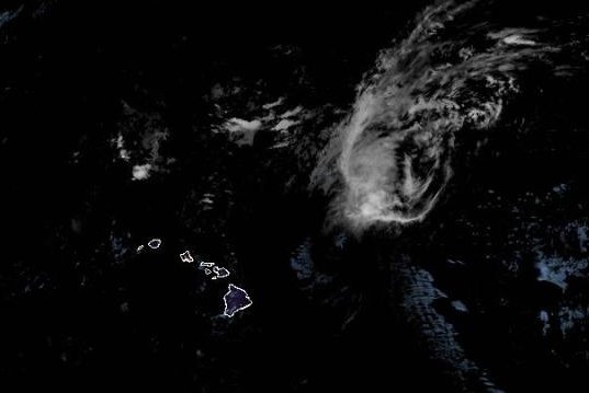
"Kiko is forecast to approach the Hawaiian Islands during the early to middle portion of next week," the NHC said in a statement Thursday.
"The risk of direct impacts from wind and rainfall is increasing. However, it is too soon to determine the exact location or magnitude of these impacts, and interests there should continue to monitor the progress of this storm."