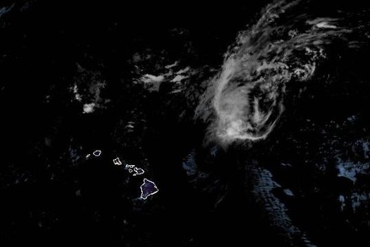
Tropical Storm Kiko is continuing to weaken as it passes just to the north of the Hawaiian Islands on Sept. 10, churning up rough surf and bringing rain showers, forecasters said.
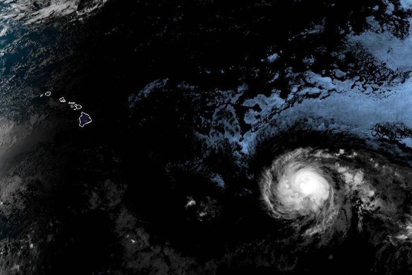
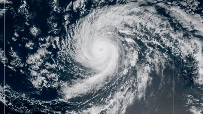
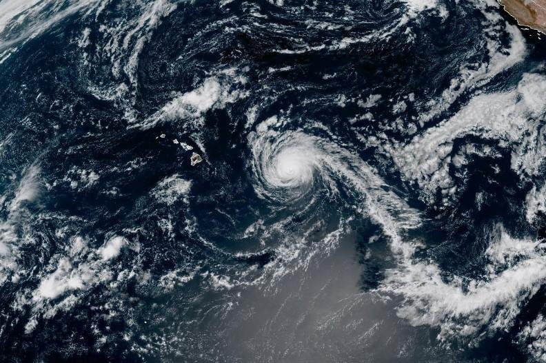
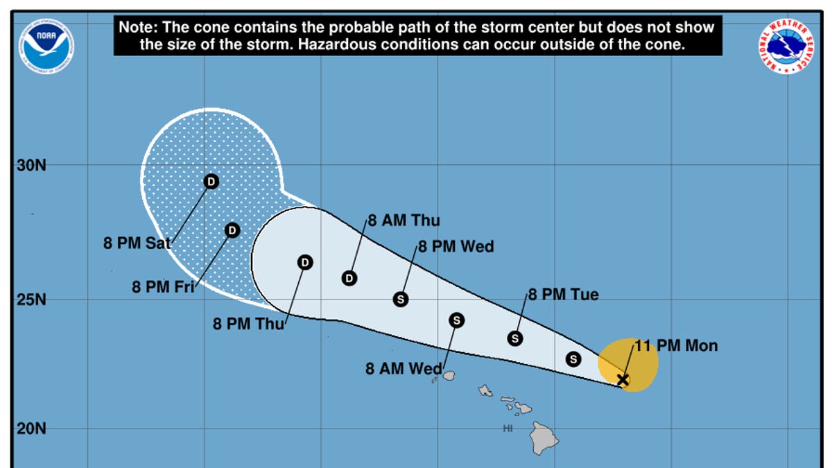
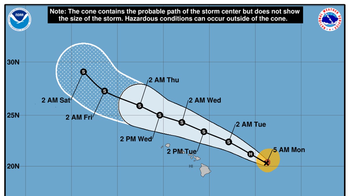
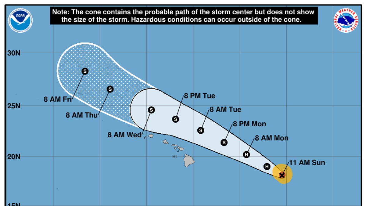
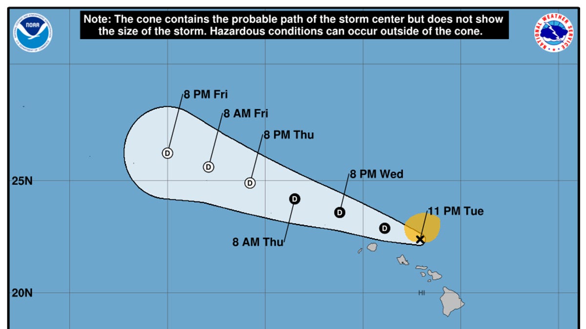
Kiko, once a Category 4 hurricane as it traveled through the Pacific Ocean, made some erratic movements and jogged south, putting it less than 100 miles from land as of 5 a.m. ET on Sept. 10. It's expected to continue losing intensity and become downgraded to a tropical depression on Sept. 10 and a remnant low on Sept. 11, the National Hurricane Center said.
Rain was focused on the windward sides of Maui and the Island of Hawaii, or Big Island, the evening of Sept. 9 and is expected to spread inward on Sept. 10, according to the National Weather Service office in Honolulu.
Kiko's winds were sustained at about 40 mph and it was moving west at 13 mph. The westward movement is expected to continue as the storm weakens, avoiding a direct hit to Hawaii. Its impacts to the island should pass their peak on Sept. 10 as Kiko moves off to the west.
Rainfall of up to 1 to 2 inches is expected across most of the islands as Kiko passes through Sept. 10, forecasters said. Wide shower coverage was expected overnight Sept. 9 over parts of Maui and Big Island, the weather service said. Some localized heavy downpours are possible, bur in general rainfall amounts should not exceed 1 inch per hour.