The National Hurricane Center is tracking systems in both the Atlantic and Pacific oceans on Saturday, Sept. 6.
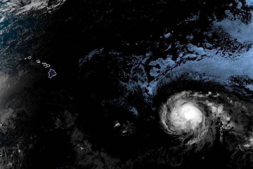
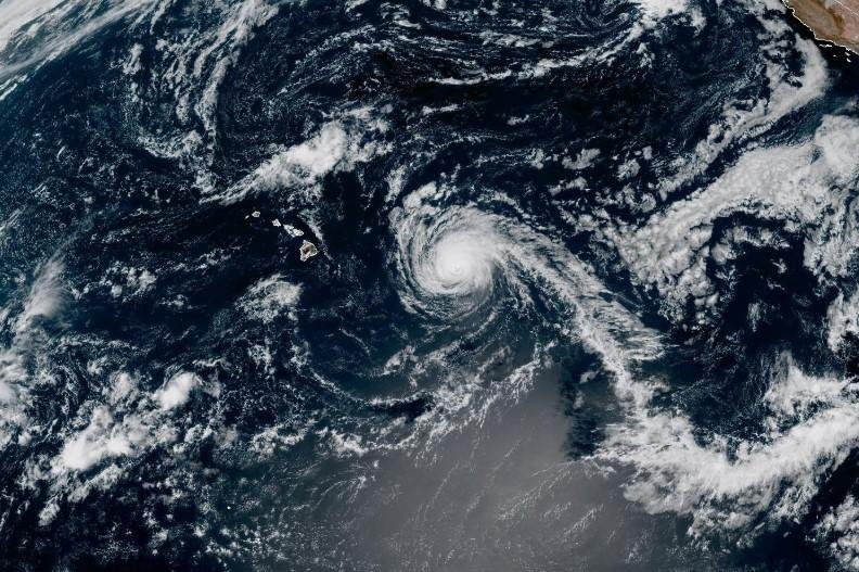
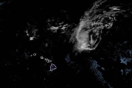
Hurricane Kiko is holding its own in the Central Pacific Ocean, but a tropical wave moving westward across the Atlantic Ocean continues to look less and less impressive.
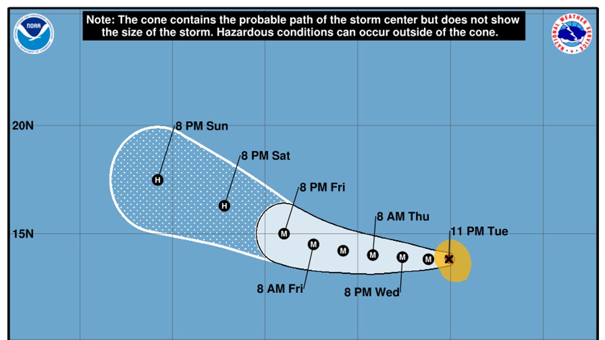
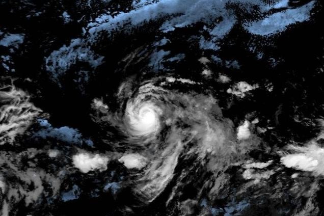
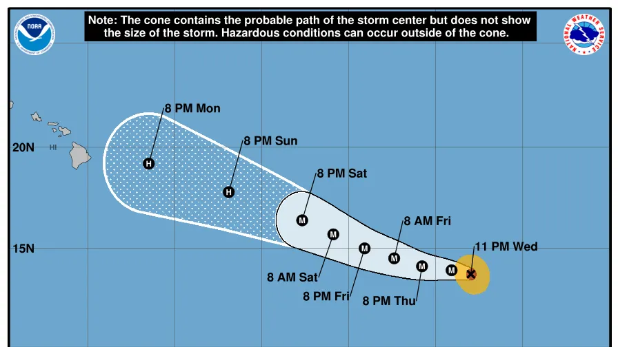
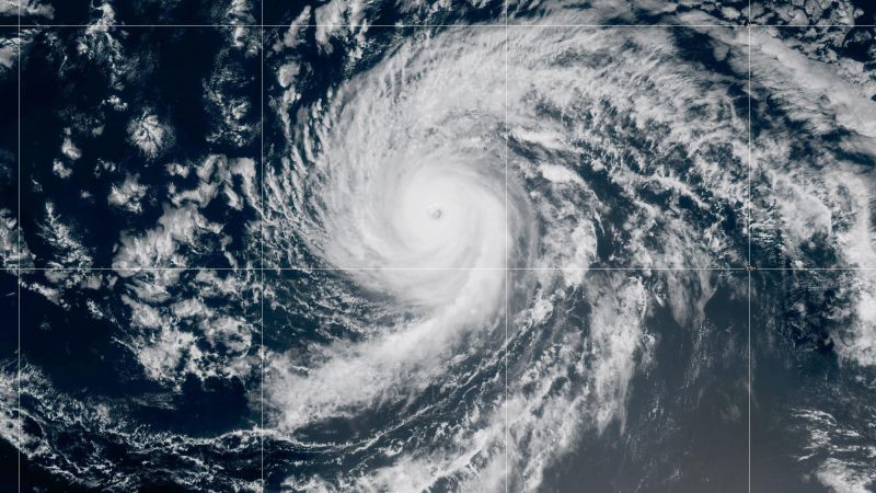
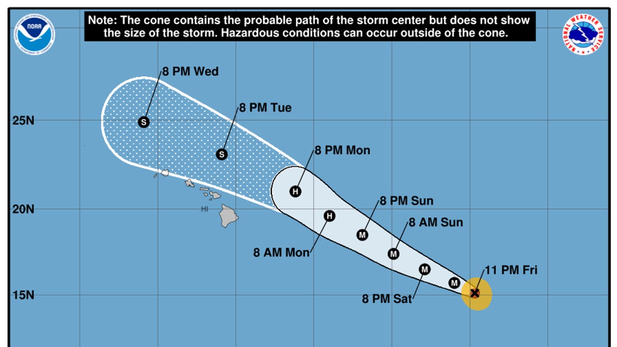
Hurricane Kiko – maintaining sustained winds of 140-mph – is expected to begin weakening over the weekend but could still retain hurricane strength on Sept. 8 as it approaches waters to the north of the Hawaiian Islands, the National Hurricane Center said.
In the Atlantic, still more than a thousand miles east of the Caribbean, a tropical wave that had been forecast to produce a tropical depression or tropical storm is only producing a small, disorganized area of storms, the hurricane center said on Saturday, Sept. 6. The center now shows only a 30% chance of further development along the wave over the next seven days.
Hurricane Kiko was centered about 1,065 miles east-southeast of Hilo and about 1,265 miles east-southeast of Honolulu, at 8 a.m. EDT on Saturday and was and moving west-northwestward at about 10 mph. The hurricane is forecast to finally weaken to tropical storm force winds by Sept. 9 as it passes to the north of the islands.