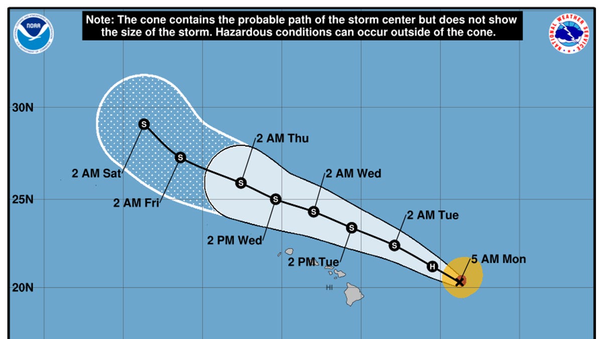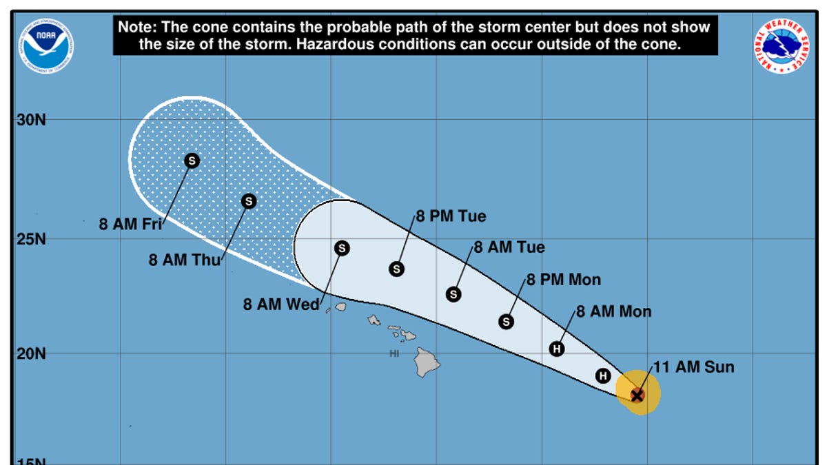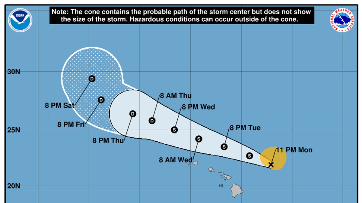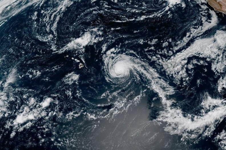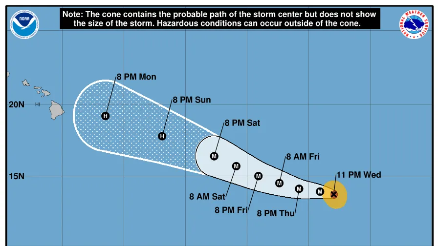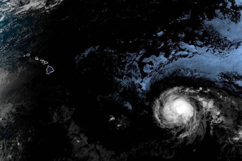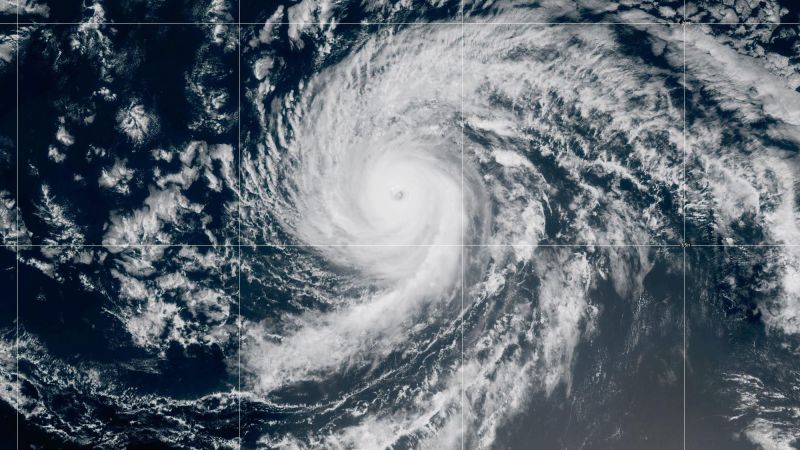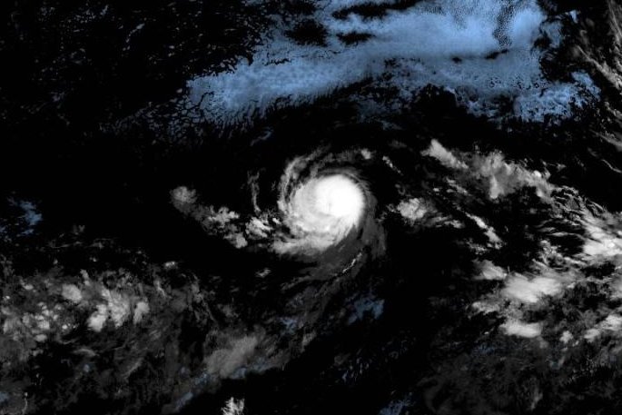
Hurricane Kiko, which was spinning as a Category 3 storm in the Pacific Ocean on Sept. 5, continued churning toward the Hawaiian Islands and will begin creating dangerous surf conditions by the end of the weekend before its arrival.
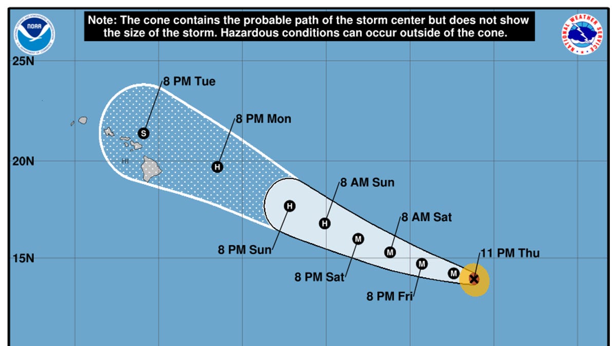
Hurricane forecasters said Kiko could pass near Hawaii or possibly make landfall sometime toward the middle of next week, but it's still too soon to tell its exact trajectory or what impacts it could have. Even if the storm doesn't make landfall, "the risk of direct impacts from wind and rainfall is increasing," the National Hurricane Center said.
Early the morning of Sept. 5 ET, Kiko was 1,310 miles east-southeast of Hilo, on the Island of Hawaii, also called Big Island. Its sustained winds were about 125 mph with higher gusts, making it a Category 3 storm on the Saffir-Simpson Hurricane Wind Scale.
Hurricane Kiko was moving west on Sept. 5 and is expected to make a gradual west-northwestward turn later in the day or on Sept. 6 as it picks up in speed. It could also strengthen in the next day before slowly weakening over the weekend.
More: An uneasy, uncertain hurricane forecast kicks off September