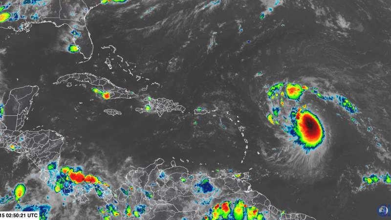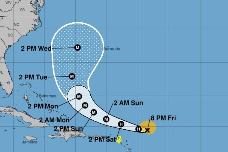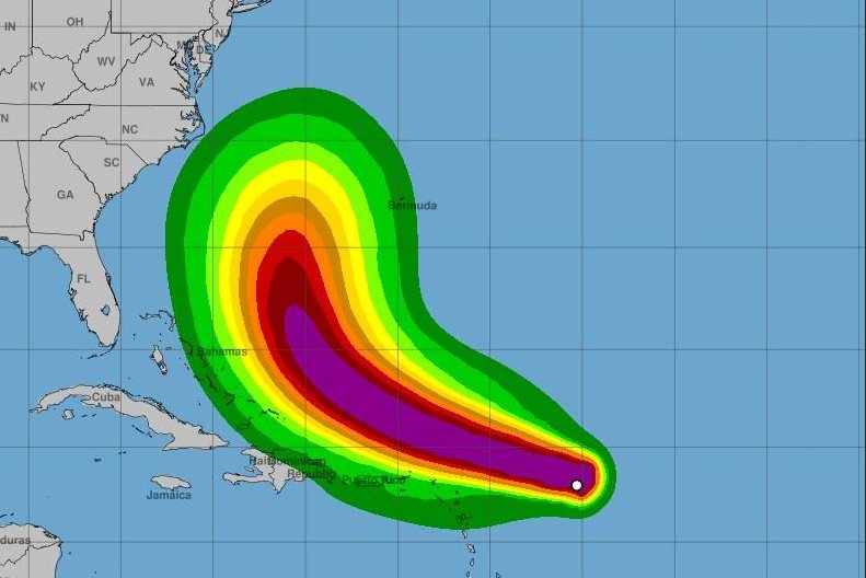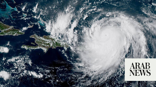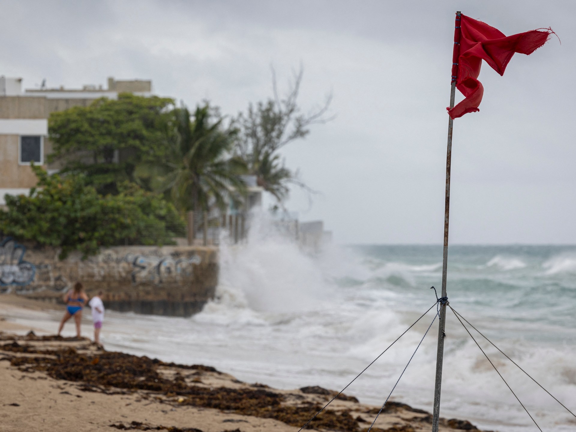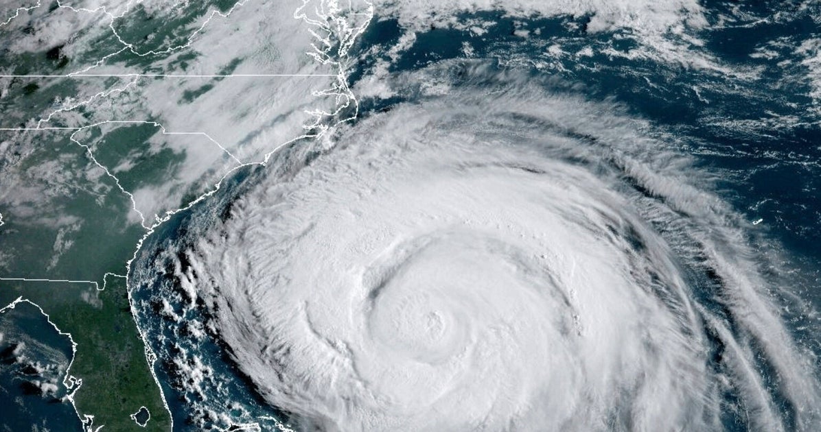
As if on cue, storm activity is increasing in the Atlantic Ocean as the 2025 hurricane season reaches the time of year when peak activity traditionally begins.
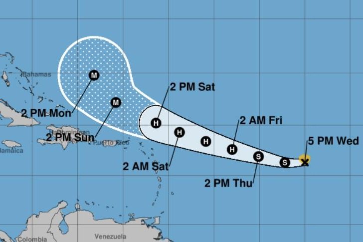
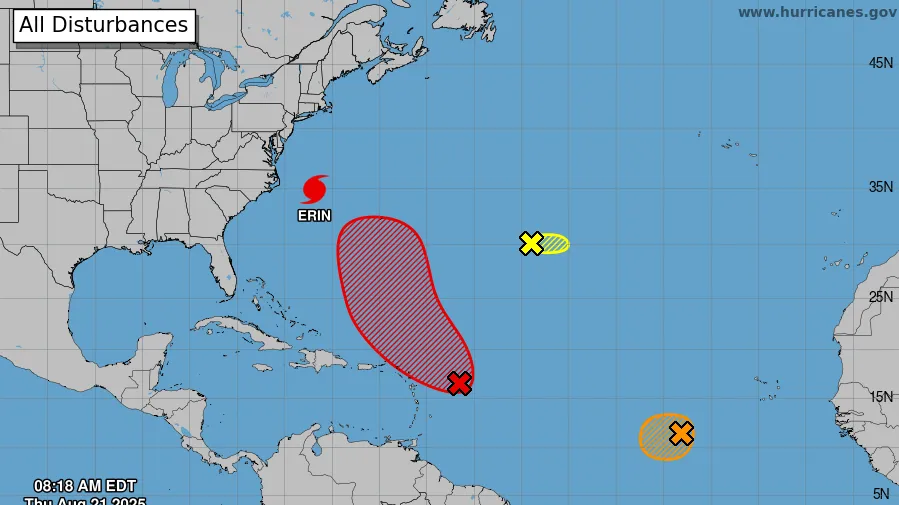
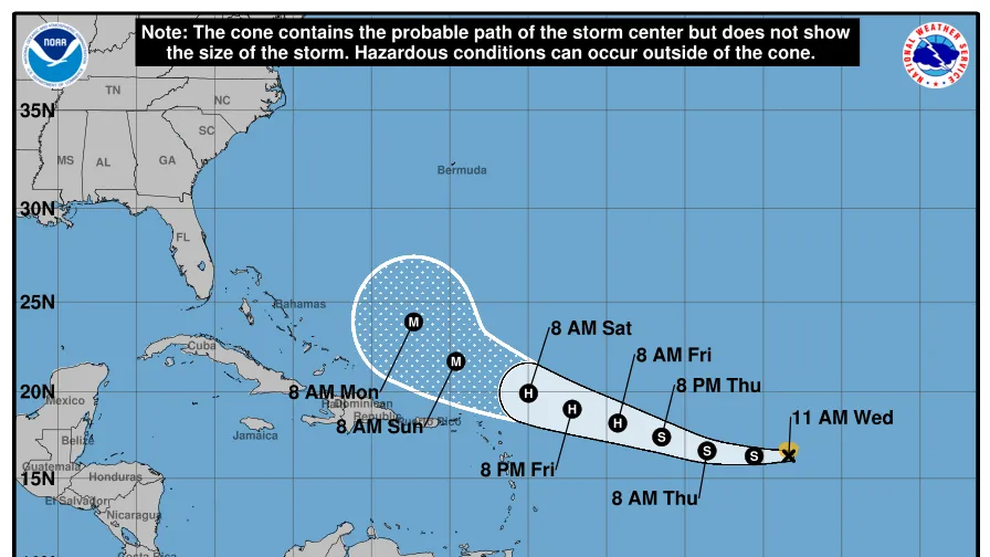
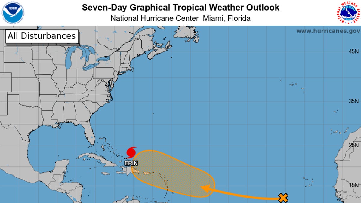
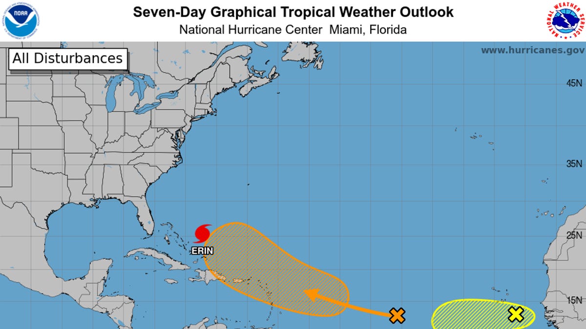
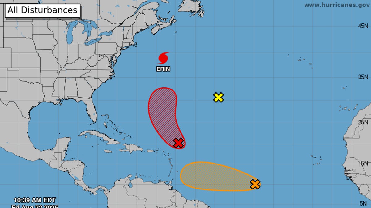
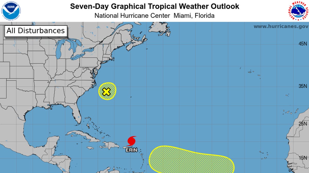
In addition to major Hurricane Erin, the National Hurricane Center is watching a potential tropical disturbance in the eastern Atlantic.
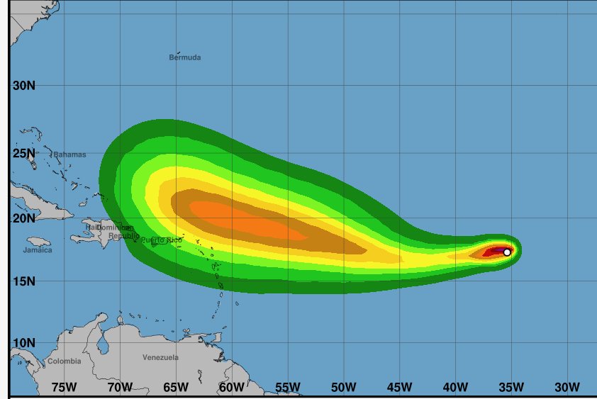
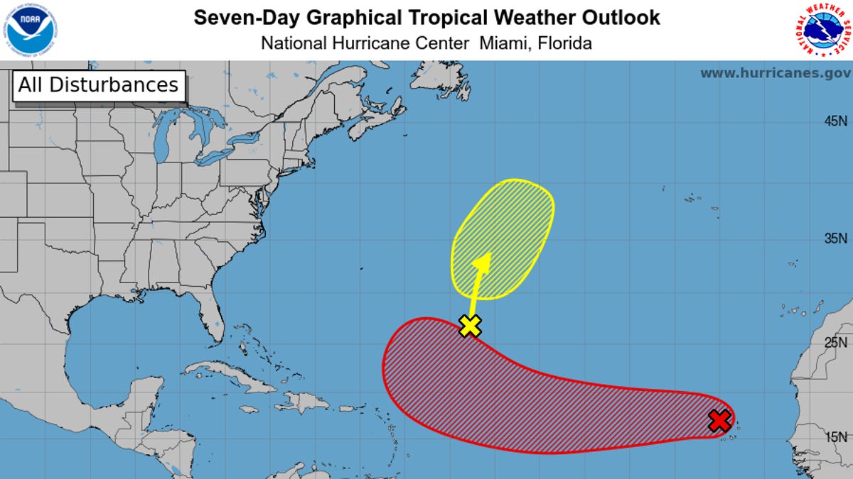
A westward-moving tropical wave could produce an area of low pressure in the tropical Atlantic late in the week of Aug. 18, the hurricane center said on Aug. 16. The center shows a 20% chance of storm formation over the next week.
If the wave becomes the next named tropical storm, it would receive the name Fernand. Yes, that's right, Fernand.
A long-term outlook from the Climate Prediction Center of the National Oceanic and Atmospheric Administration also shows the potential for storm formation increasing between the eastern Caribbean and the African coast. It lists the chances of storm formation in the central tropical Atlantic at greater than 40% during the seven-day period beginning on Aug. 20.