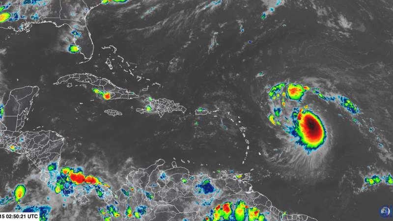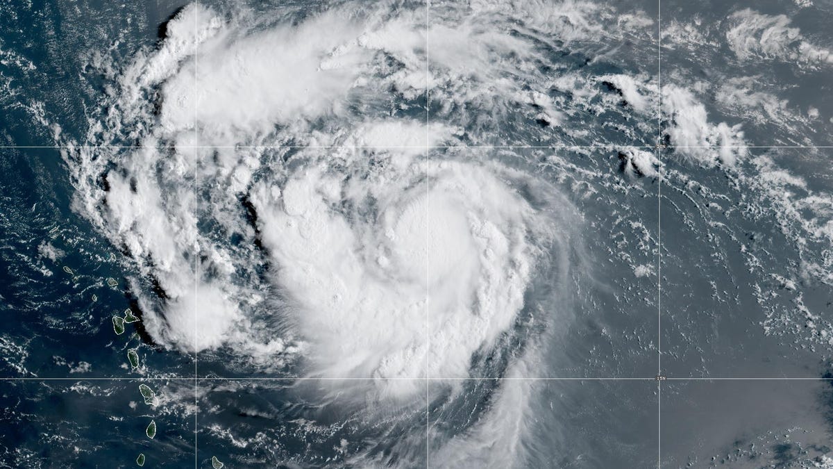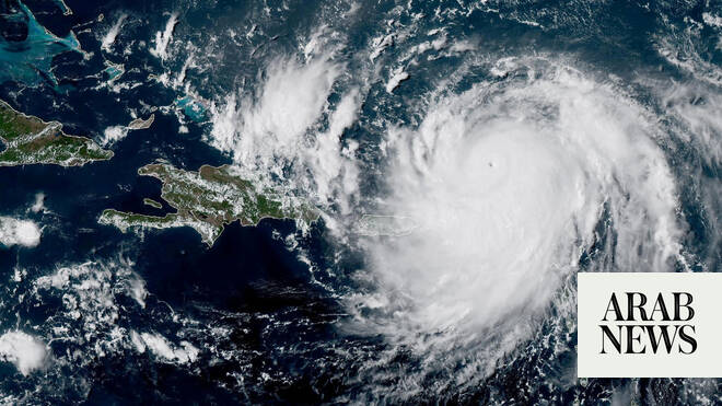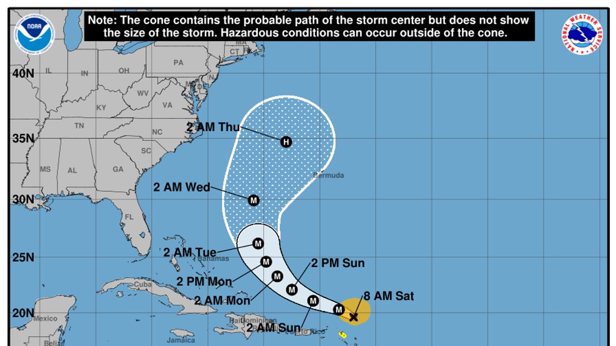
Tropical Storm Erin has formed in the eastern Atlantic Ocean and is on track to become the first major hurricane of the 2025 Atlantic season, meteorologists said.
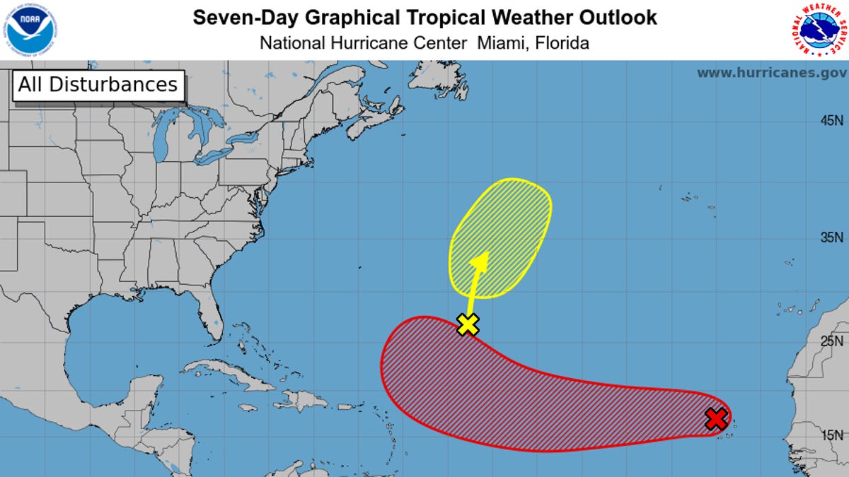
The National Hurricane Center in Miami announced on Monday, Aug. 11, that Erin had developed from a tropical wave as it churned west of the Cabo Verde Islands, an archipelago that sits off the western coast of Africa.
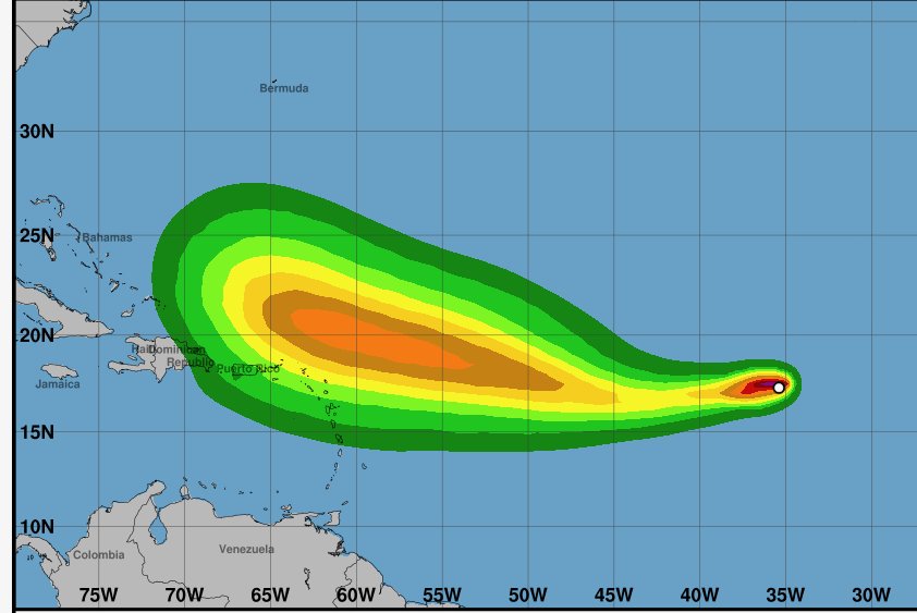
As of 11 a.m., the storm was moving west at 20 mph and had sustained winds of 45 mph, the hurricane center said. The storm was located 280 miles west-northwest of the Cabo Verde Islands and over 2,300 miles from the Leeward Islands.
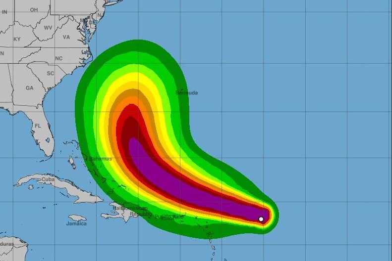
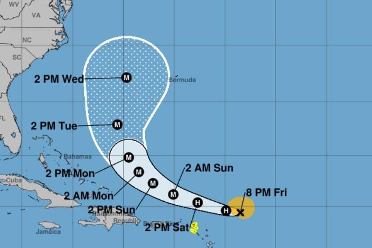
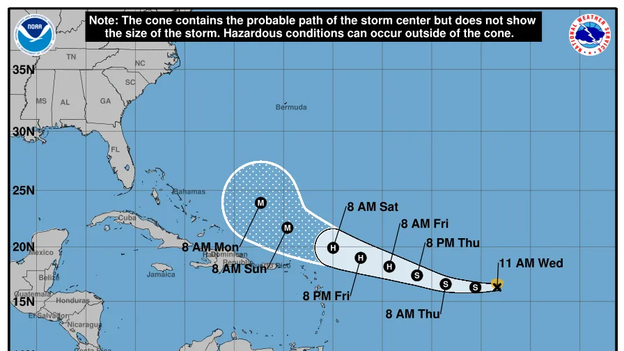
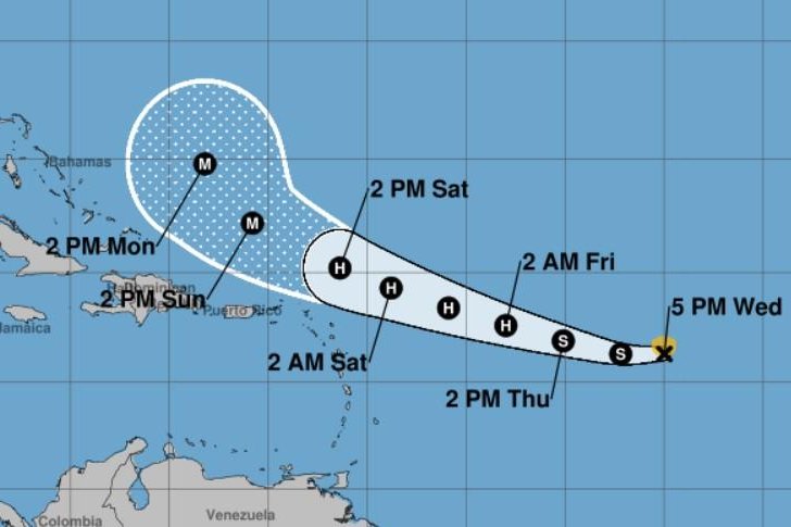
Erin was one of three disturbances meteorologists were tracking in the Atlantic – and is the one that poses the biggest threat. It is still early and there are high levels of uncertainty in the storm's long-term track. Still, experts urge those with interests in the Caribbean and the eastern coast of the U.S. to monitor its development.
The hurricane center said several regional models "show Erin becoming a major hurricane." Forecasters define a major hurricane as any storm that is classified as a Category 3 or stronger, meaning it has winds over 110 mph.