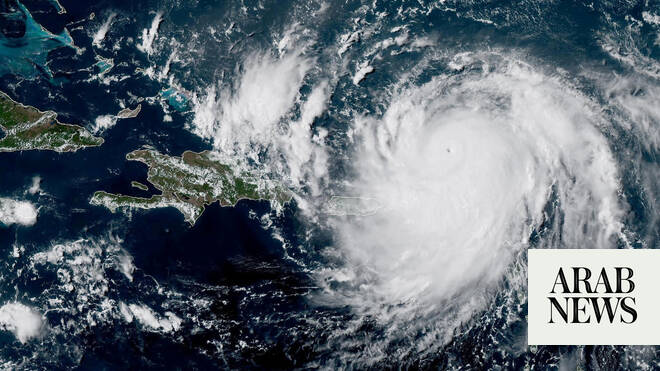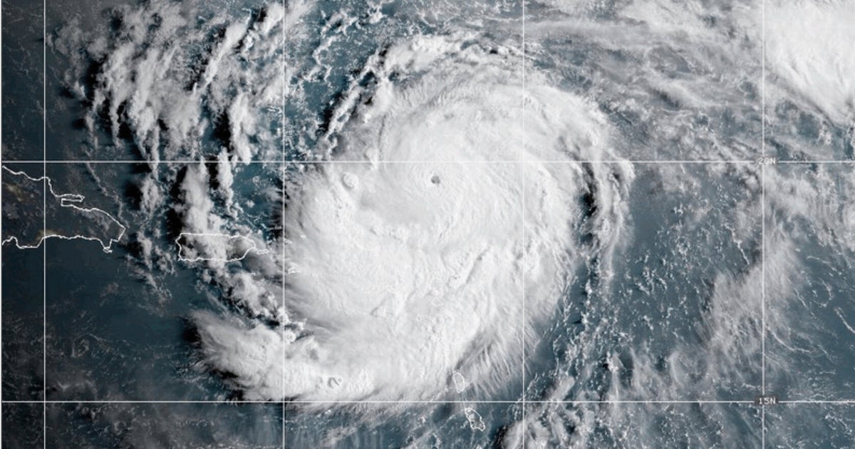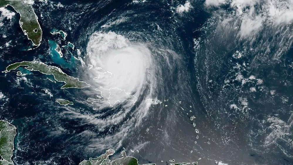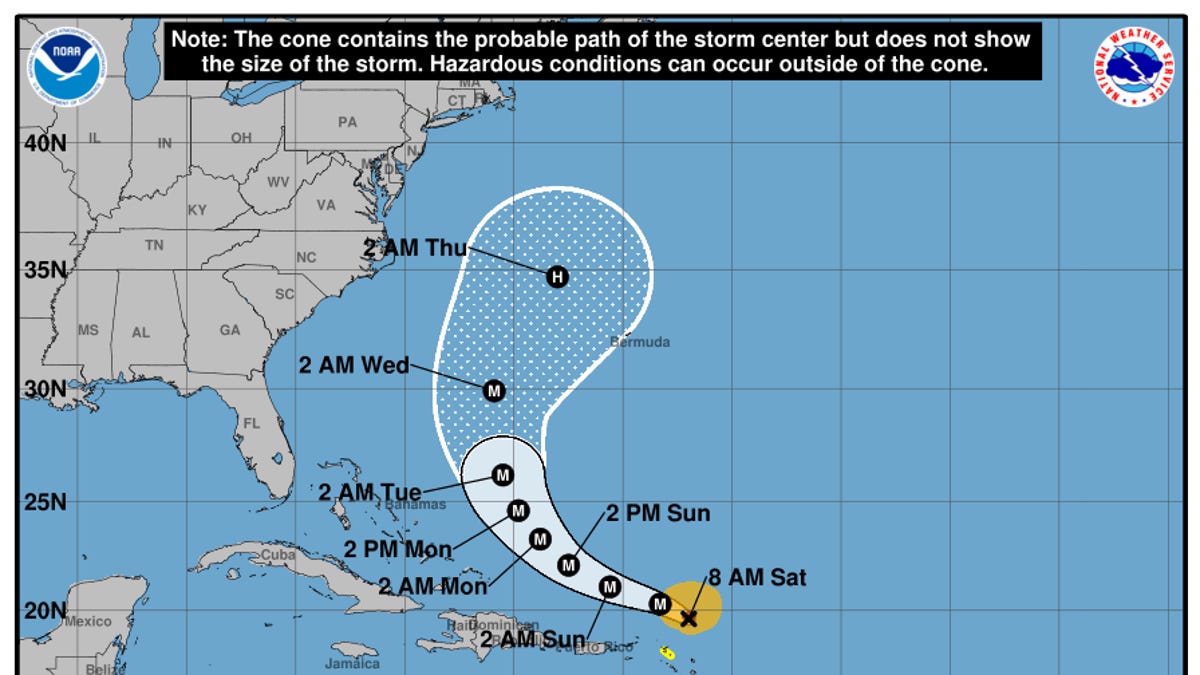
Hurricane Erin has become the first major hurricane of the 2025 Atlantic season after undergoing a period of rapid strengthening to become a Category 4 cyclone.
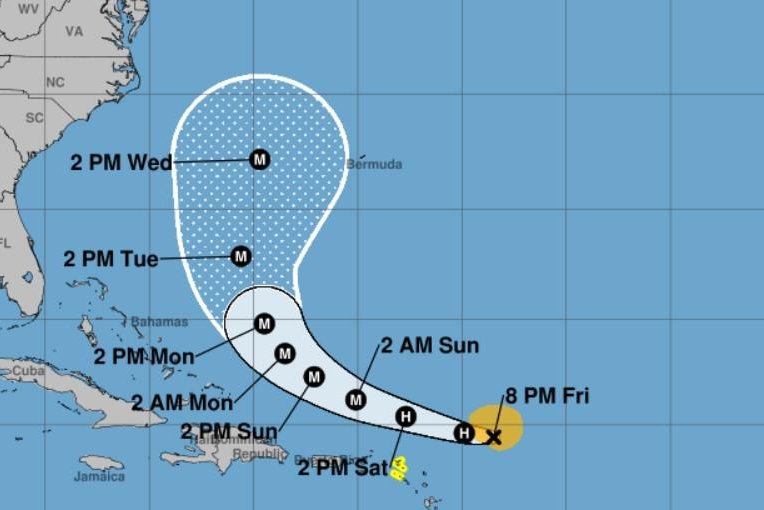
Erin was continuing its track west-northwest over the Atlantic, with wind speeds of about 145 mph and higher gusts as of 8 a.m. ET on Aug. 16, the National Hurricane Center said. It was located about 120 miles northeast of Anguilla, a one of the most northerly of the Leeward Islands, and moving at about 20 mph.
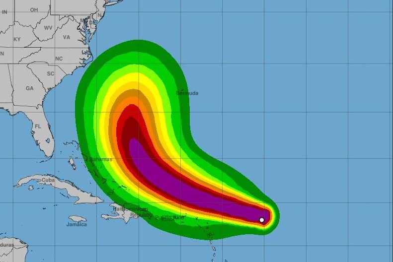
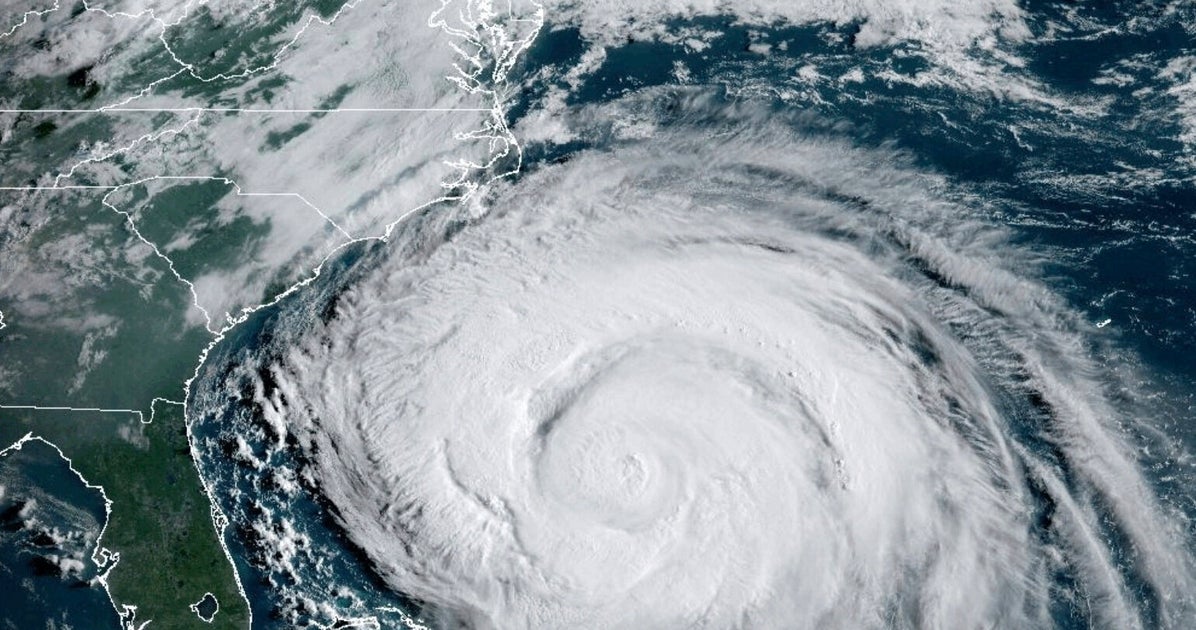
The hurricane is not expected to make a direct hit on the United States, but it will still drive dangerous surf conditions along the East Coast. Erin is expected to make a turn to the north after the weekend and after passing islands in the Caribbean.
"(B)y the middle of next week, Erin is forecast to at least double or triple in size, which will result in rough ocean conditions over the western Atlantic," the hurricane center said.
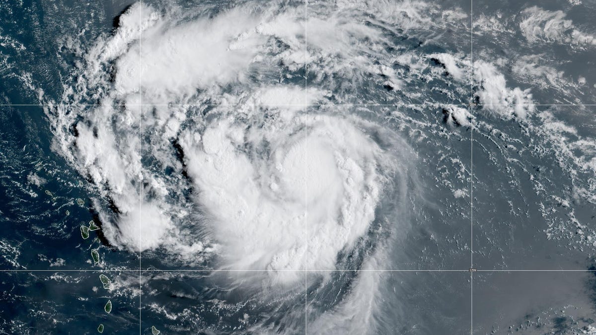
The storm's outer bands of rain were already beginning to impact the islands, forecasters said on Aug. 16. Heavy rainfall is expected in the northern Leeward Islands, the Virgin Islands and Puerto Rico for the rest of the weekend, bringing 2 to 4 inches of rain with localized amounts of 6 inches and possible flash flooding.