HomeAI · summaries
Storia in 20 fonti
Why the UN wants to change the world map?
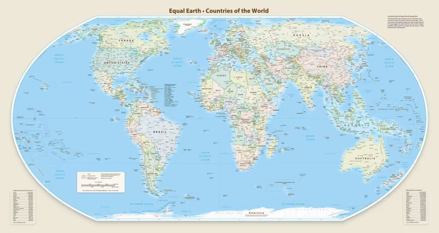
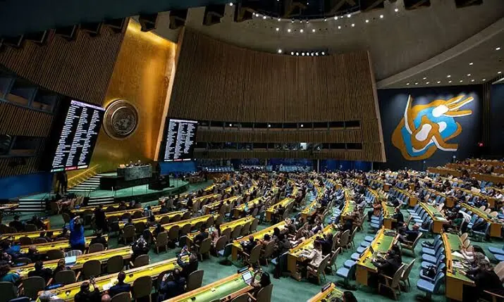
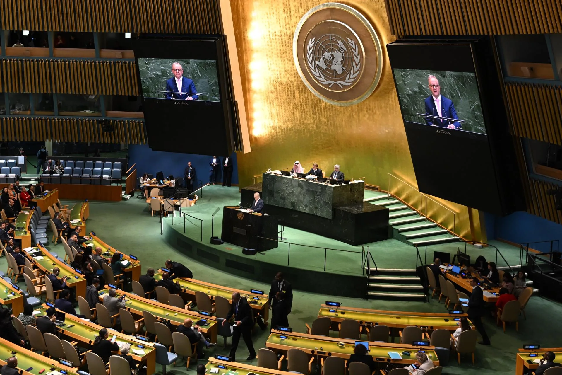
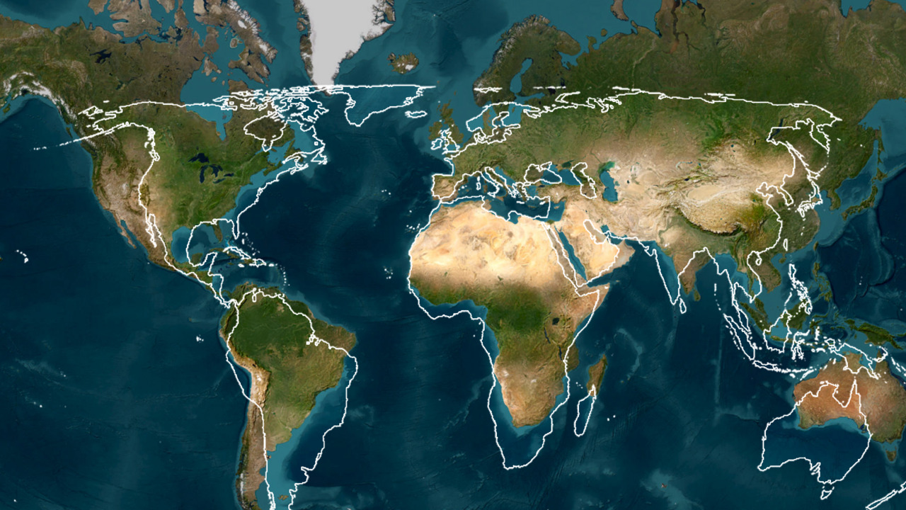
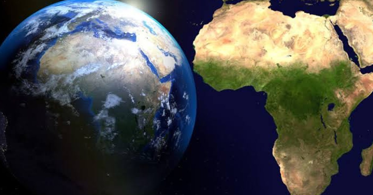
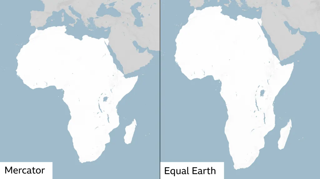
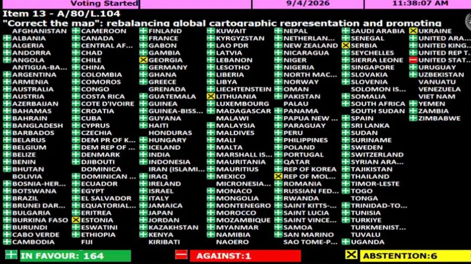
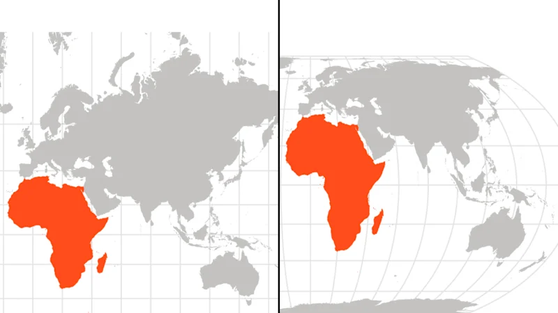
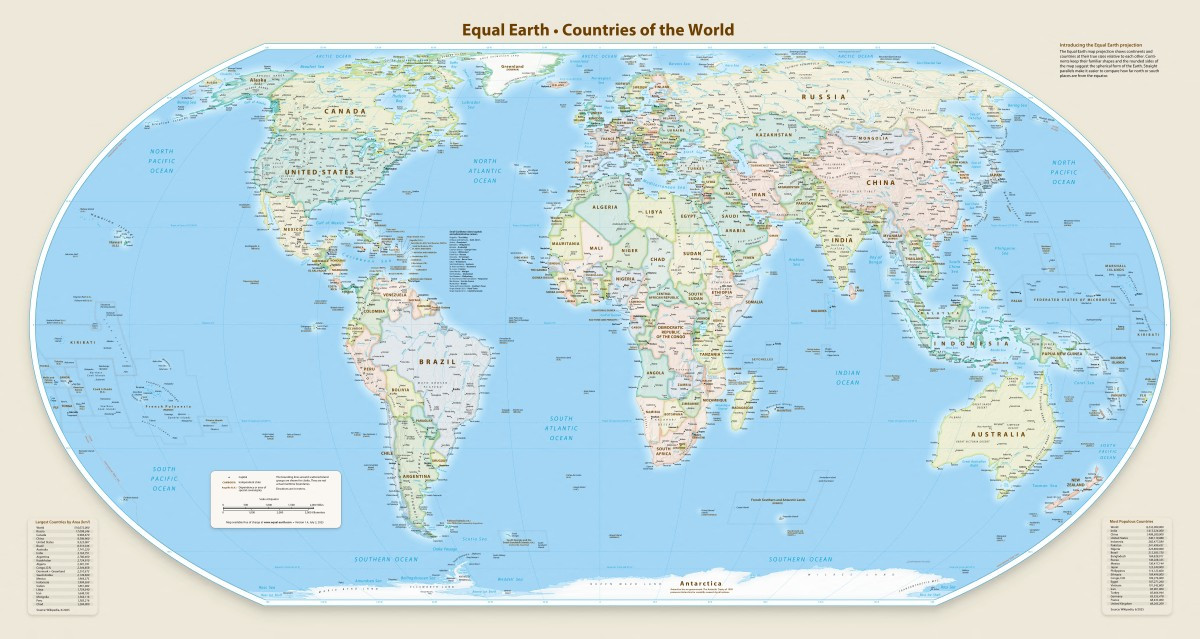
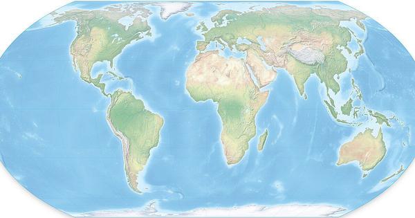
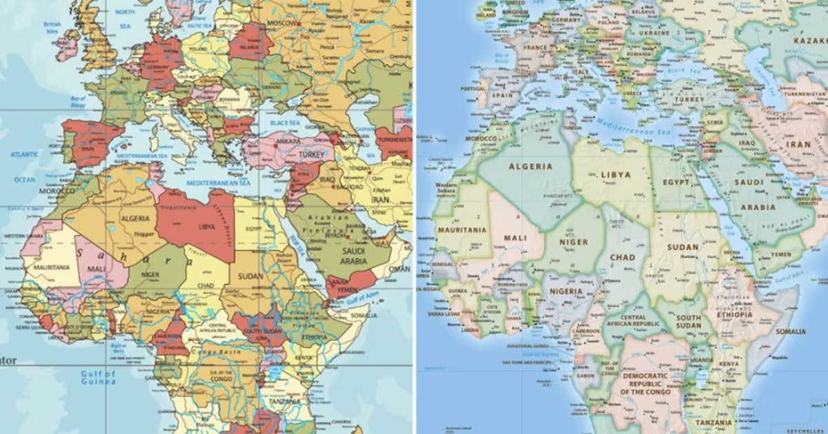
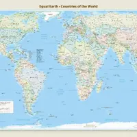
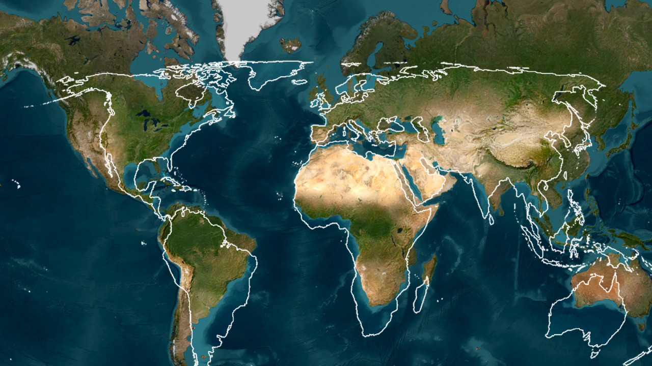
The United Nations General Assembly has adopted a resolution encouraging the use of world maps that represent the relative size of landmasses more accurately. Backed by 164 countries, the “Correct the Map” resolution draws attention to distortions in the widely used Mercator projection, particularly its representation of Africa. Here’s why familiar world maps distort size, how the Equal Earth projection differs, and what the UN resolution could mean for the maps we use.
Confronto fonti
6 prospettive sulla stessa storiaTimeline cronologica
- ·
theguardian.com
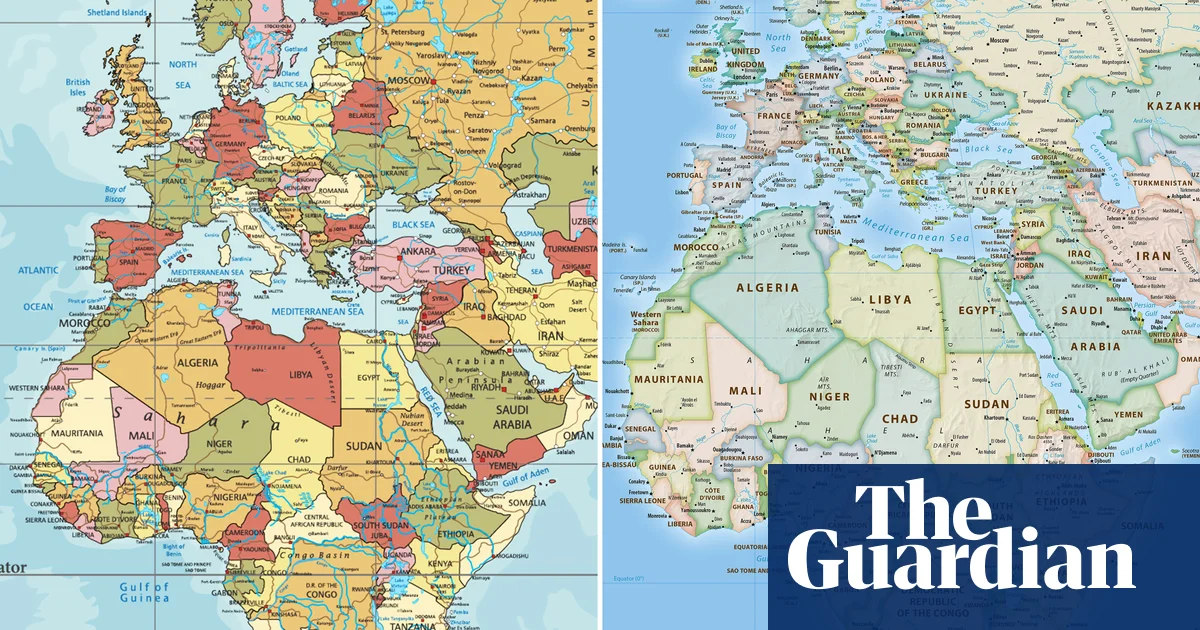
UN votes to adopt new world map that shows Africa’s true scale
Togo-sponsored resolution called to phase out traditional map that depicts continent as similar size to Greenland
- ·
thehindu.com
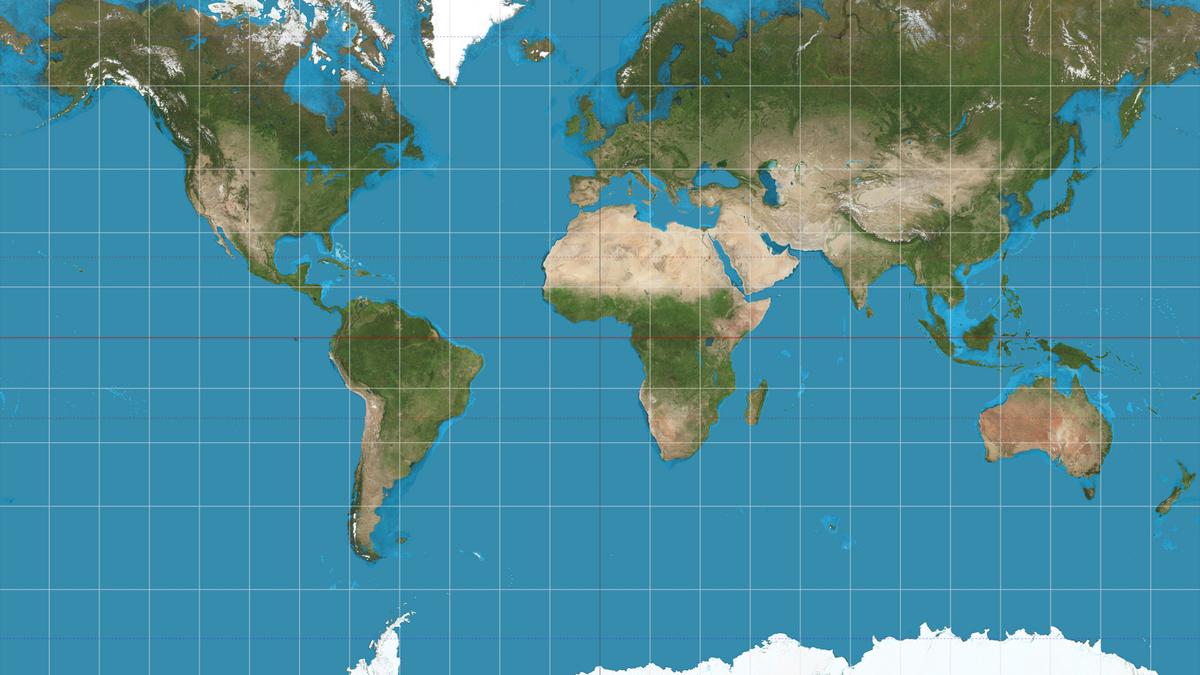
UN approves resolution in support of map that shows Africa’s true size
The United Nations has voted for a shift away from 16th-century Mercator global map towards one more accurately reflecting countries’ true size, a resolution sponsored by African…