UN backs world map showing Africa’s true scale
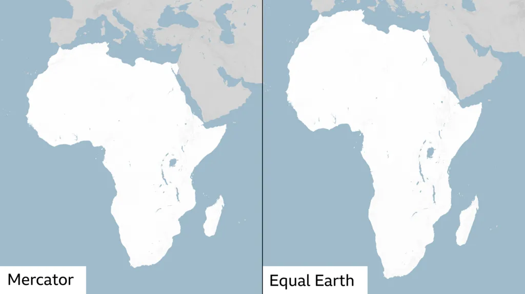
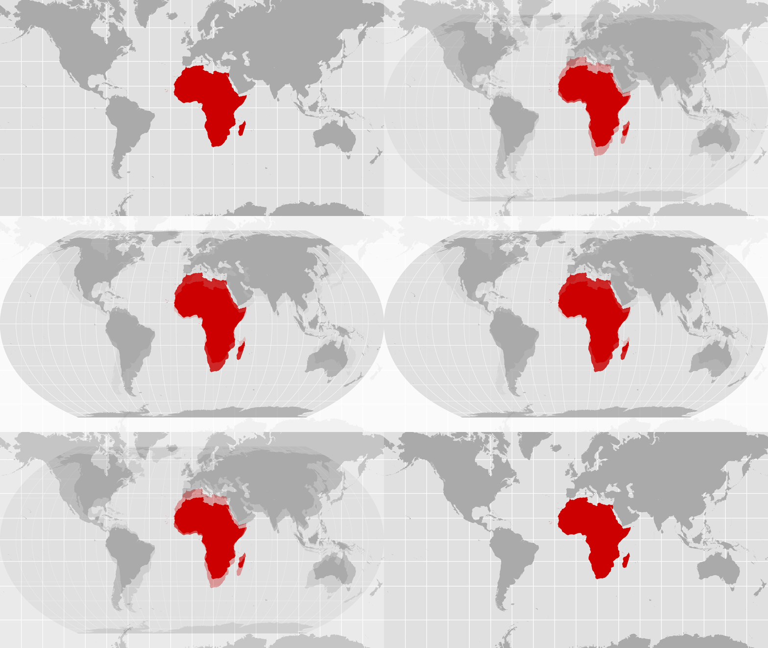
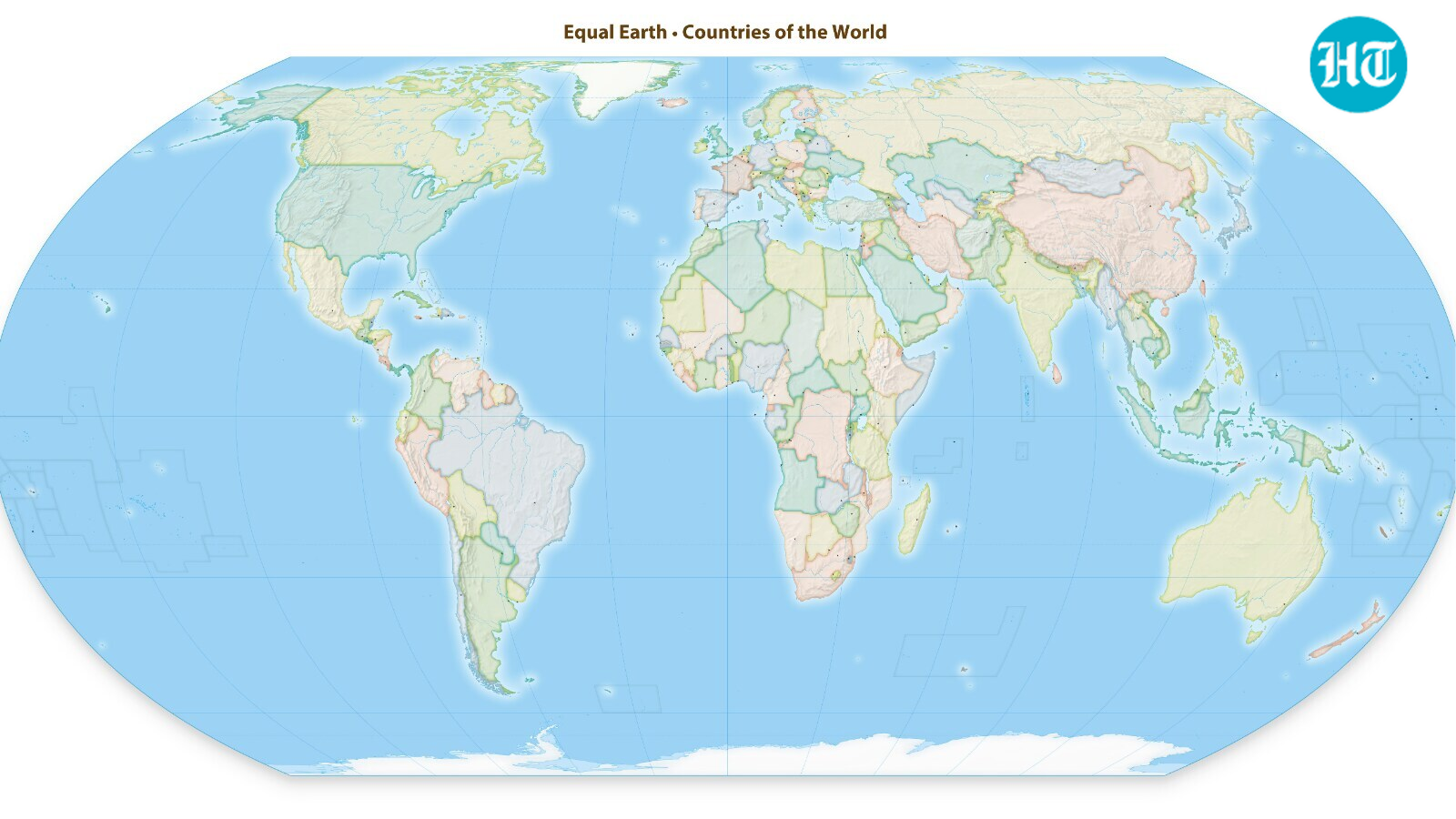
This handout graphic provided by Equal Earth shows the Equal Earth cartographic projection. (Photo by Handout / Equal Earth / AFP)
The U.N. General Assembly on Sept. 4 endorsed a world map that more accurately represents the relative sizes of Africa and other continents, with the United States casting the only vote against the measure.
The resolution, sponsored by Togo, received 164 votes in favor, with six countries abstaining. It urges member states to use the Equal Earth projection in place of the traditional Mercator map.
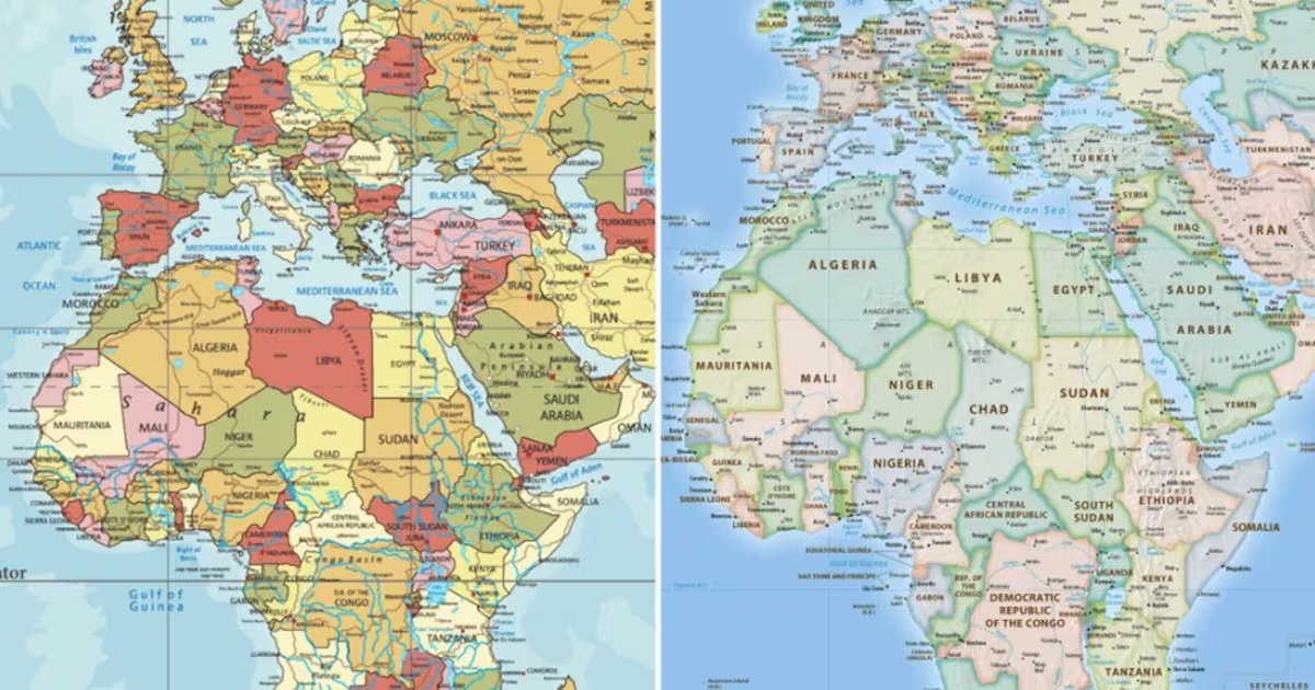
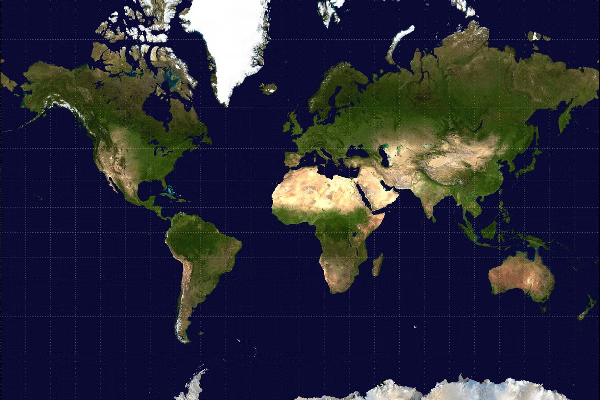
Developed for maritime navigation by Flemish cartographer Gerardus Mercator in 1569, the Mercator projection exaggerates the size of regions farther from the equator, making Europe and North America appear disproportionately large.