Alyson Hurt/NPR
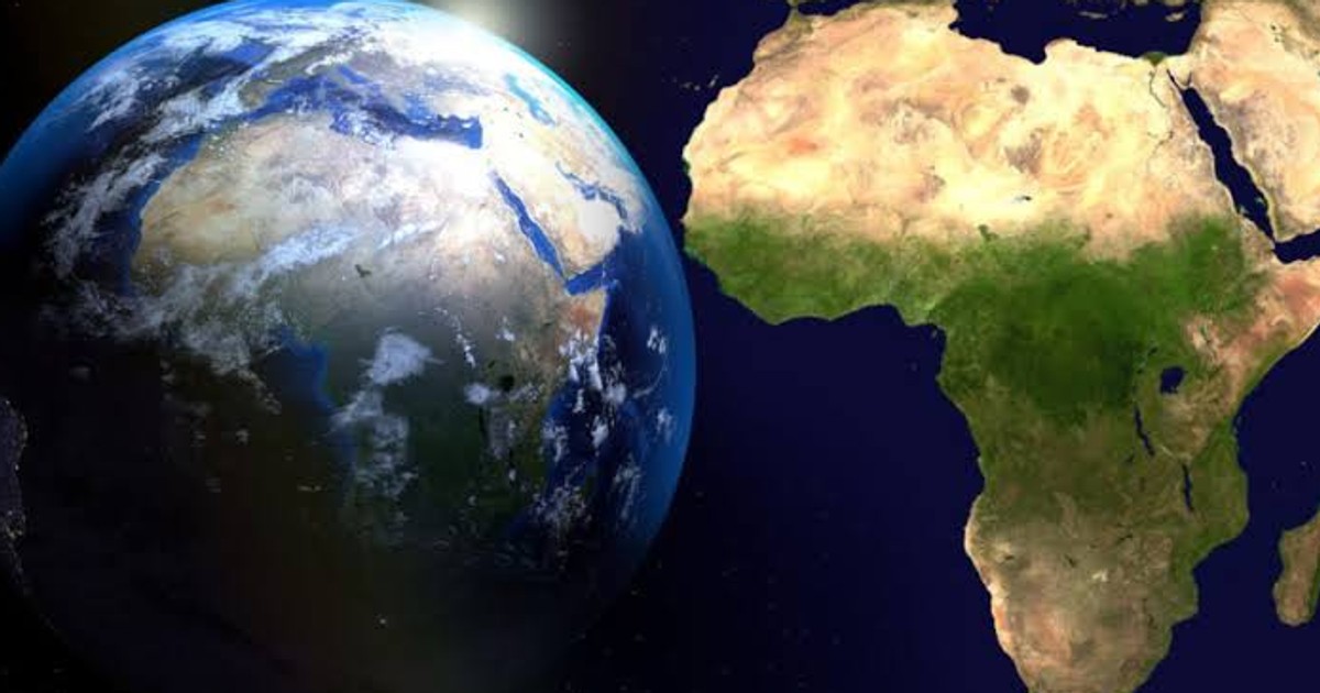
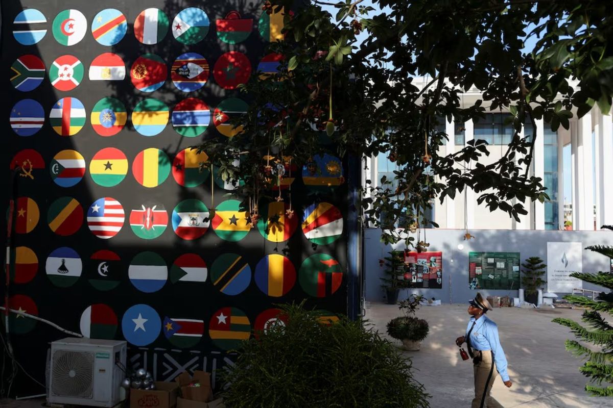
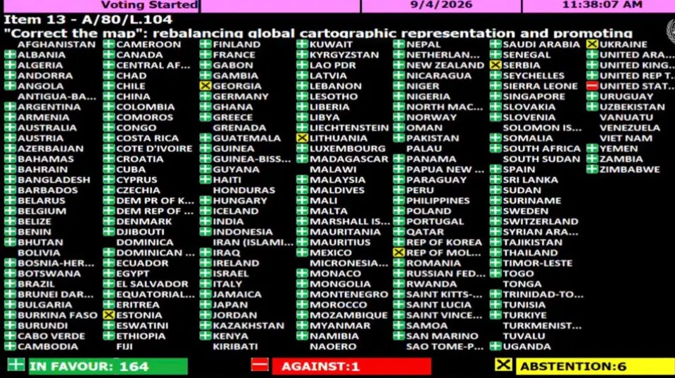
LAGOS, Nigeria — The United Nations General Assembly has overwhelmingly backed a resolution aimed at changing the way Africa and other regions are represented on world maps. The "Correct the Map" resolution, introduced by the West African country of Togo on behalf of the African Group (the 54 African member states at the U.N.) and supported by the African Union, was adopted on Friday by a vote of 164 to one, with six countries abstaining. The United States was the only country to vote against it. Before the vote, Togo's Foreign Minister Robert Dussey said maps are far more than simple representations of geography.
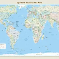
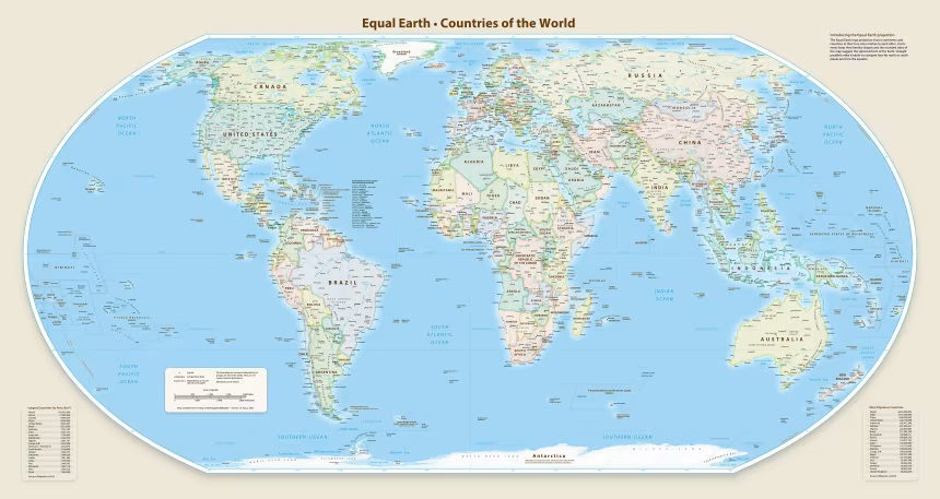
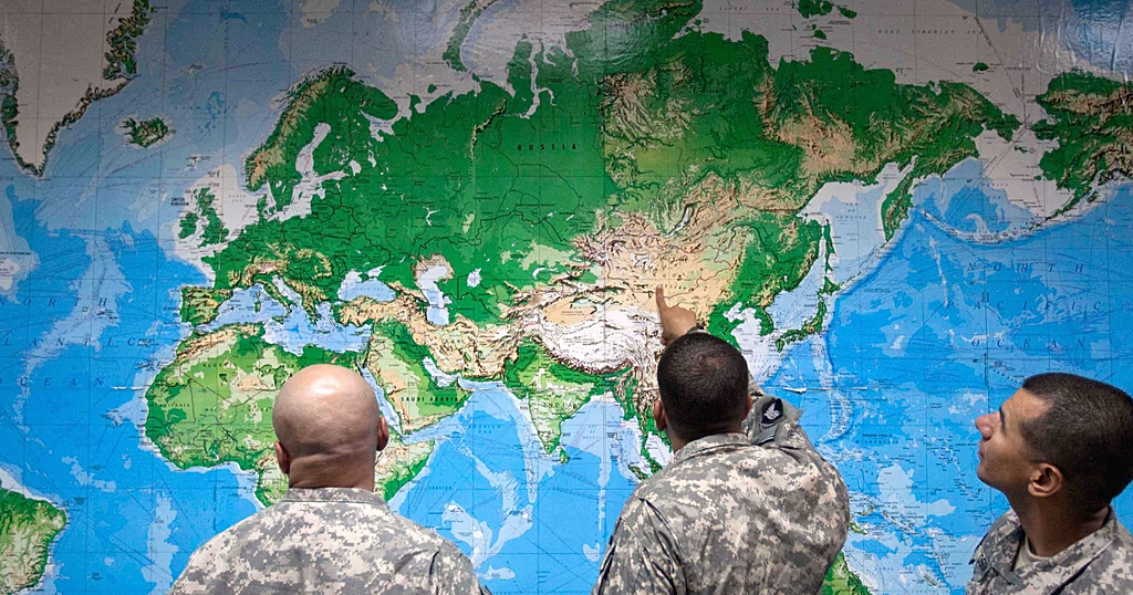
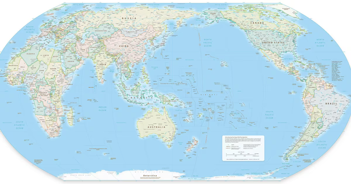
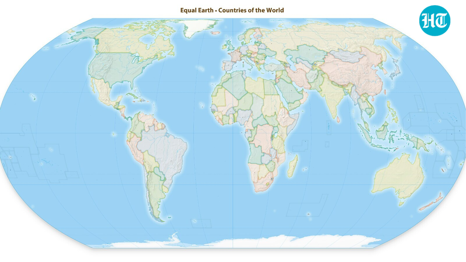
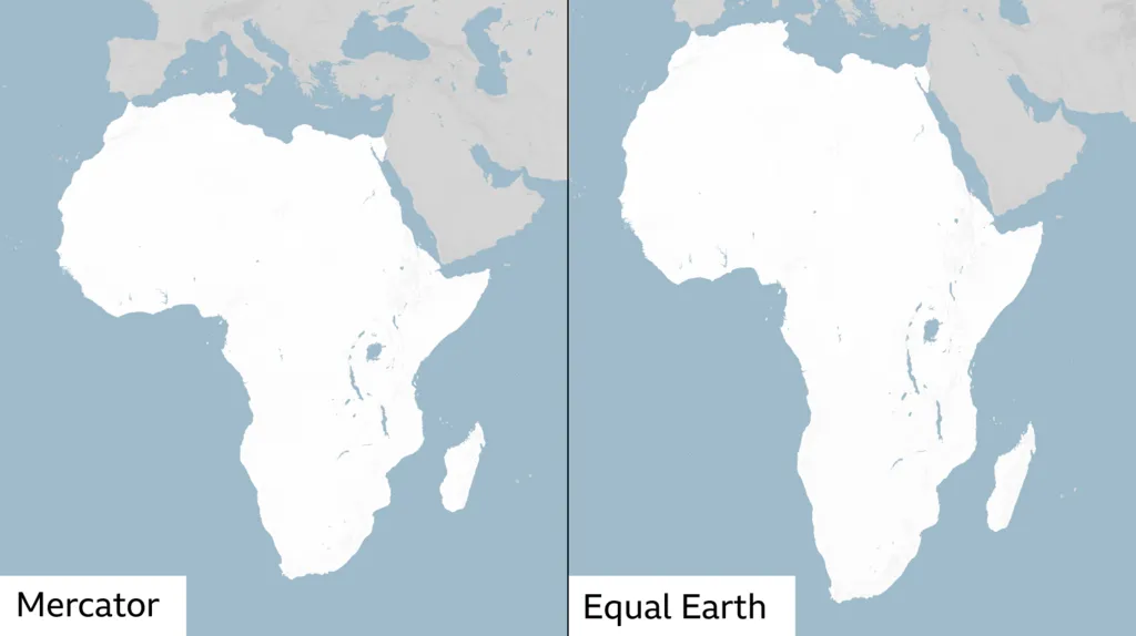
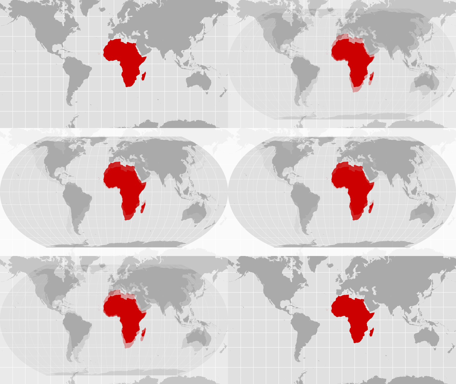
"Maps shape our understanding of the world. They guide education, nourish the imagination, and influence collective perceptions," Dussey said. "It's time for us in Africa to take responsibility to change what we can change ourselves." The resolution is not legally binding and does not require countries or institutions to abandon the centuries-old Mercator projection, one of the world's most widely used maps. Instead, it encourages wider use of equal-area projections such as Equal Earth, which more accurately show the true relative size of countries and continents, particularly Africa, although their shapes are somewhat distorted. Members of the Correct the Map campaign are encouraging governments, international organizations and educational institutions to adopt the Equal Earth projection. Developed in 2018 by cartographers Tom Patterson, Bernhard Jenny and Bojan Šavrič, the map was designed to provide a more proportionally accurate picture of the world's land masses. Loading...