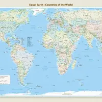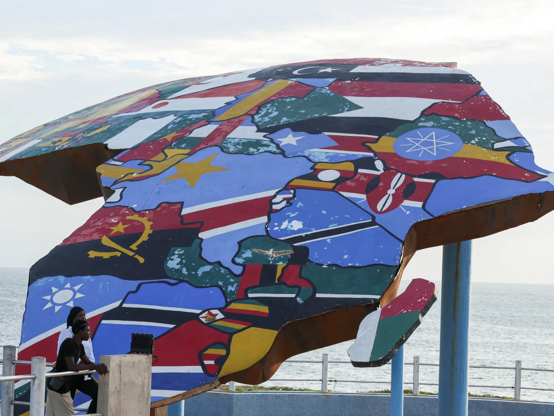
The United Nations General Assembly has backed an Africa-led campaign to promote a new world map that more accurately reflects the relative size of countries and continents, marking a major diplomatic victory for efforts to challenge the way Africa has long been depicted.
The resolution, led by Togo on behalf of African states and backed by the African Union, passed on Friday with 164 countries voting in favour, one against and six abstaining. The United States was the only country to vote against the proposal.
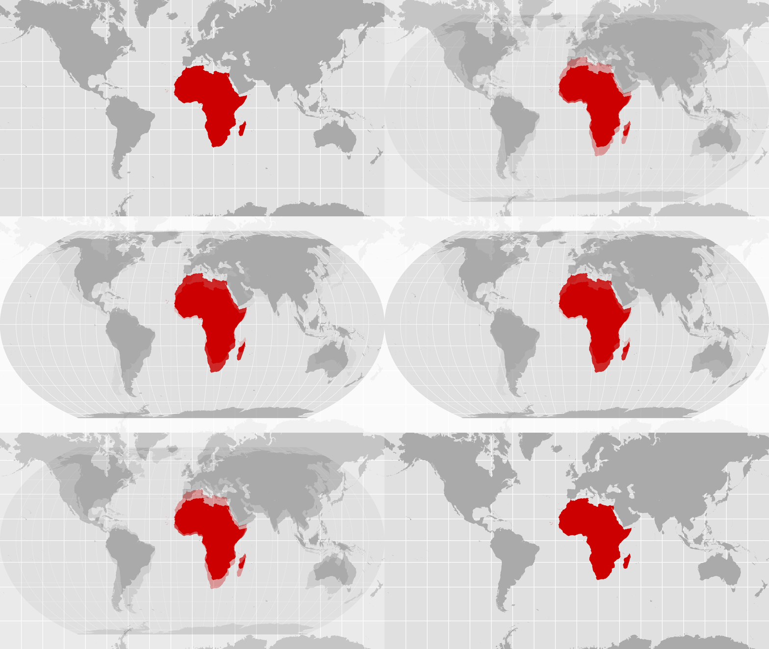
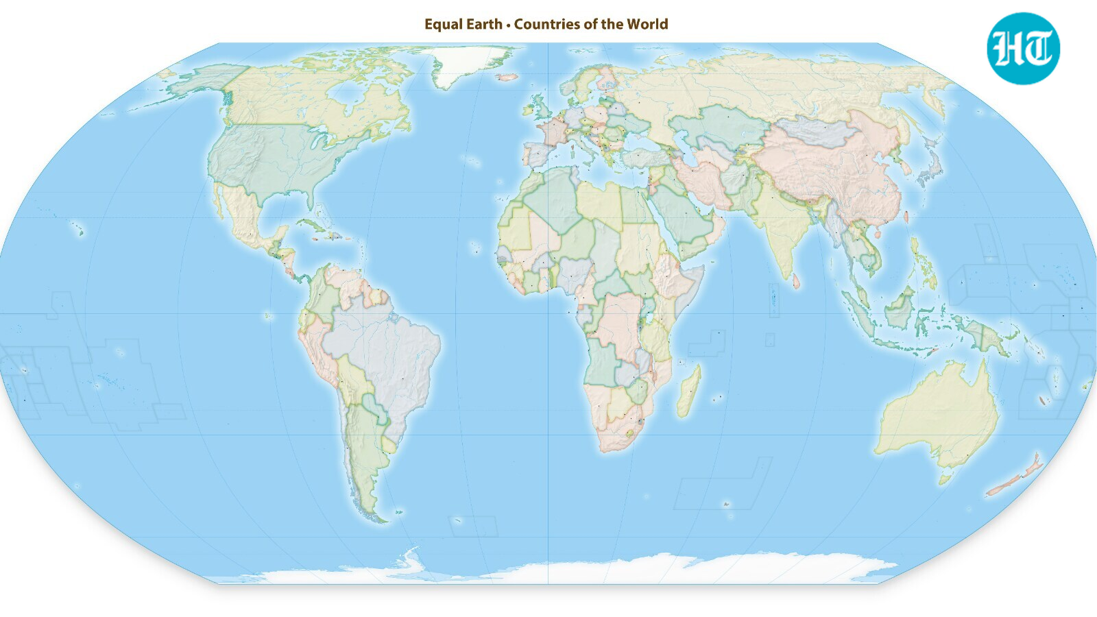
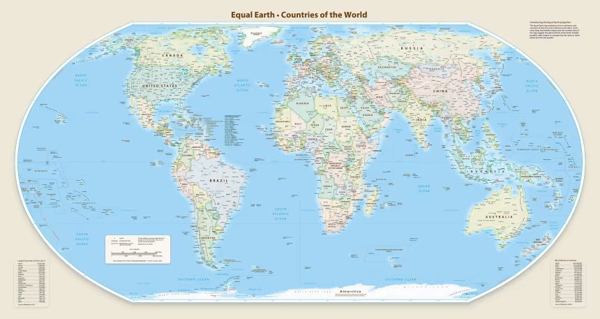
The initiative promotes the Equal Earth projection, an alternative to the centuries-old Mercator projection that preserves the relative area of land masses more accurately.
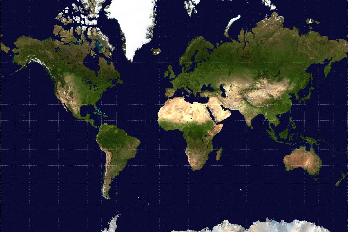
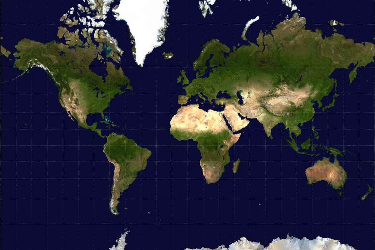
The Mercator projection, created in the 16th century, was designed primarily for navigation. While it accurately preserves directions, it dramatically enlarges areas closer to the North and South Poles.
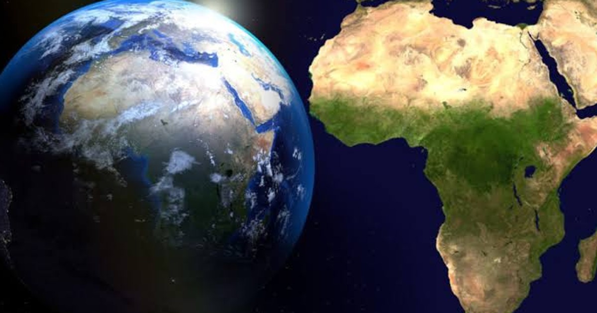
That distortion has a striking effect on how Africa appears on conventional world maps.