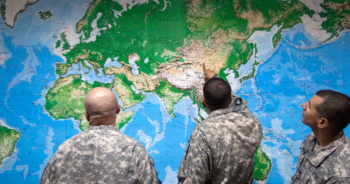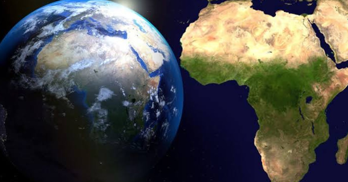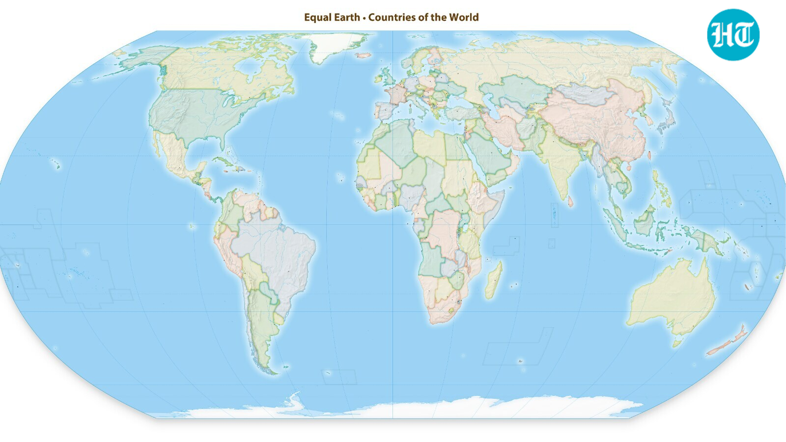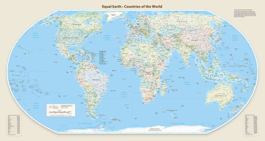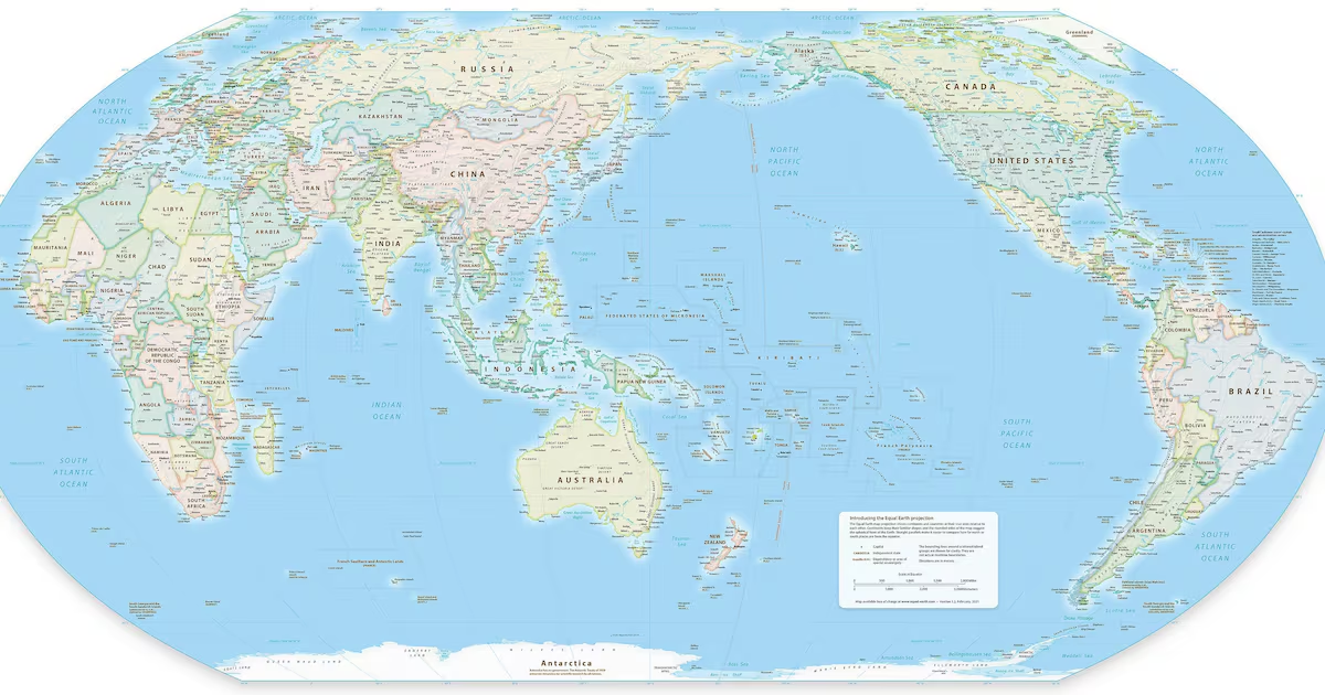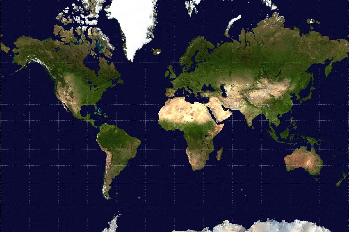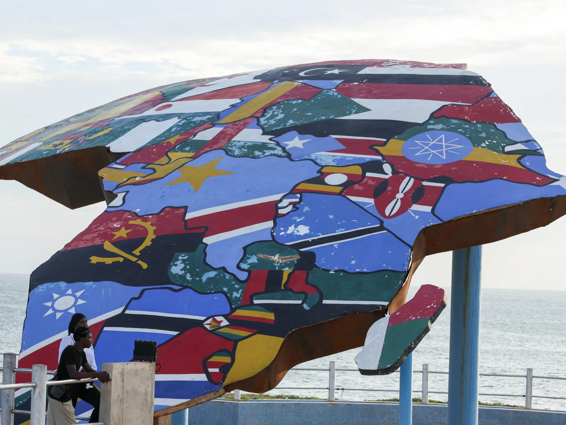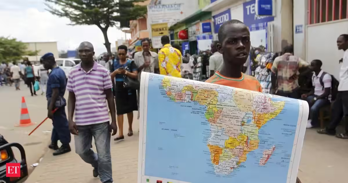
India has voted in favour of a United Nations General Assembly resolution seeking more accurate and equitable maps of the world, particularly representations of Africa. The resolution received 164 votes in favour, while the United States voted against it and six countries abstained.The 193-member General Assembly adopted the resolution titled “‘Correct the map’: rebalancing global cartographic representation and promoting equitable representation of the world’s regions, particularly Africa”. Togo sponsored the resolution on behalf of the African Group.Estonia, Georgia, Lithuania, Moldova, Serbia and Ukraine abstained.India backs wider use of equal-area mapsExplaining India’s vote, Raghoo Puri, First Secretary at India’s Permanent Mission to the UN, said India welcomed the resolution’s objective.“ We believe that maps play an important role in how societies understand geography and the relative scale of the world around us,” Puri said.India also clarified that it did not support the adoption of one specific map projection.“We believe that the resolution should be understood as supporting the broader use and consideration of Equal Area map projections, and not as endorsing the Equal Earth projection or any other specific map projection,” Puri said.Equal-area projections aim to preserve the relative size of landmasses, although they can alter other features such as shape, distance or direction.Why the Mercator map is being challengedThe resolution noted that the Mercator projection, developed in the 16th century for navigation, continues to be widely used in educational, media, digital and official materials.However, it said the projection considerably distorts landmasses located to the north and south of the Equator.The resolution noted with “concern” that “this distortion contributes to minimising the perceived sizes of Africa, Latin America and South Asia, and perpetuating an unbalanced view of the world.”The African Union has said the Mercator projection makes Africa appear significantly smaller than its actual size. It said Africa is 14 times larger than Greenland, although the two landmasses can appear similar in size on maps based on the projection.AU calls for more accurate global mapsThe African Union welcomed the General Assembly’s decision and congratulated Togo and the African Group.AU Commission Chairperson Mahmoud Ali Youssouf commended Togo’s leadership and the unity of African countries in securing support for the initiative.“The adoption of this resolution marks an important step forward,” Youssouf said.The AU Commission called on international institutions, education systems, publishers and digital platforms to gradually adopt cartographic representations that more accurately reflect the actual area of countries and continents.It also backed the use of equal-area maps, including the Equal Earth projection, in classrooms, media and international institutions.“Africa must be represented as it truly is: in its true dimensions and in its rightful place in the world,” Youssouf said.
Africa’s push to redraw the world map to show its true size wins overwhelming UN support; India votes in favour
The UN General Assembly has backed an African Union-led push for world maps that more accurately represent Africas size. The “Correct the Map” resolution received 164 votes in favour and challenges the widely used Mercator projection, which makes Africa appear disproportionately small.
436 words~2 min read