Academia
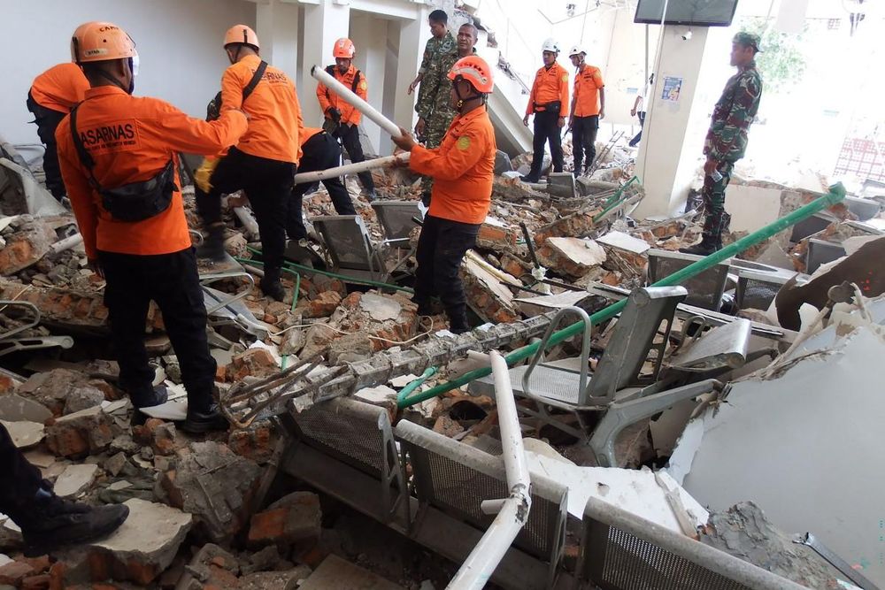
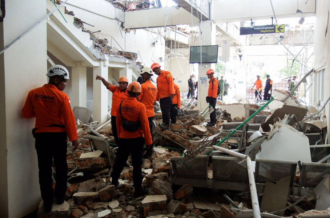
Rescuers inspect a heavily-damaged building at Laurentius Say port in Maumere, Sikka, East Nusa Tenggara (NTT) on Aug. 15, 2026 following an earthquake off the northern coast of Flores Island. (Reuters/Willy Kurniawan)
A major earthquake in East Nusa Tenggara (NTT) has once again put Indonesia’s disaster preparedness under scrutiny, raising tough questions about political will and shrinking mitigation budgets. Sitting squarely on the Pacific Ring of Fire, Indonesia faces inherent geological risks. Yet policymakers too often treat this geography as an excuse for poor outcomes rather than an urgent mandate for better preparation.The magnitude-7.7 earthquake struck off Flores Island near Nagekeo on Aug. 15. By Aug. 26, the Meteorology, Climatology and Geophysics Agency (BMKG) had recorded 7,492 aftershocks, the strongest reaching magnitude 6.2, with no clear sign of tapering off.
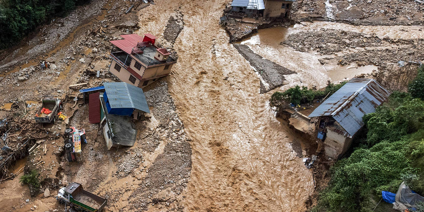
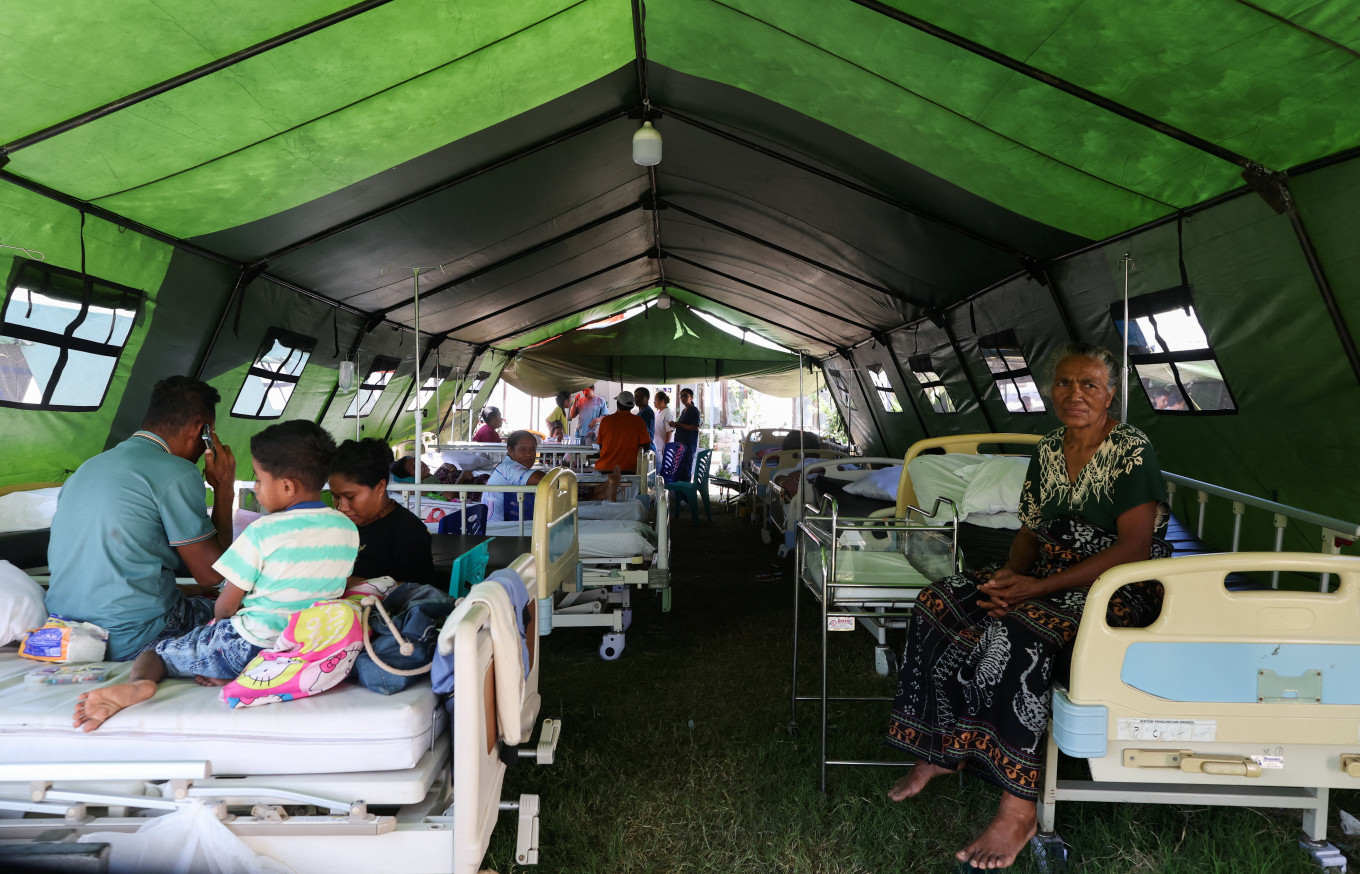
The human and material toll has been severe. As of Aug. 25, the National Disaster Mitigation Agency (BNPB) reported 105 deaths, 1,678 injuries and 179,037 displaced residents. The tremor damaged nearly 78,000 homes, alongside 118 health facilities, 1,378 educational buildings, 483 government offices, 402 houses of worship and 156 road sections.