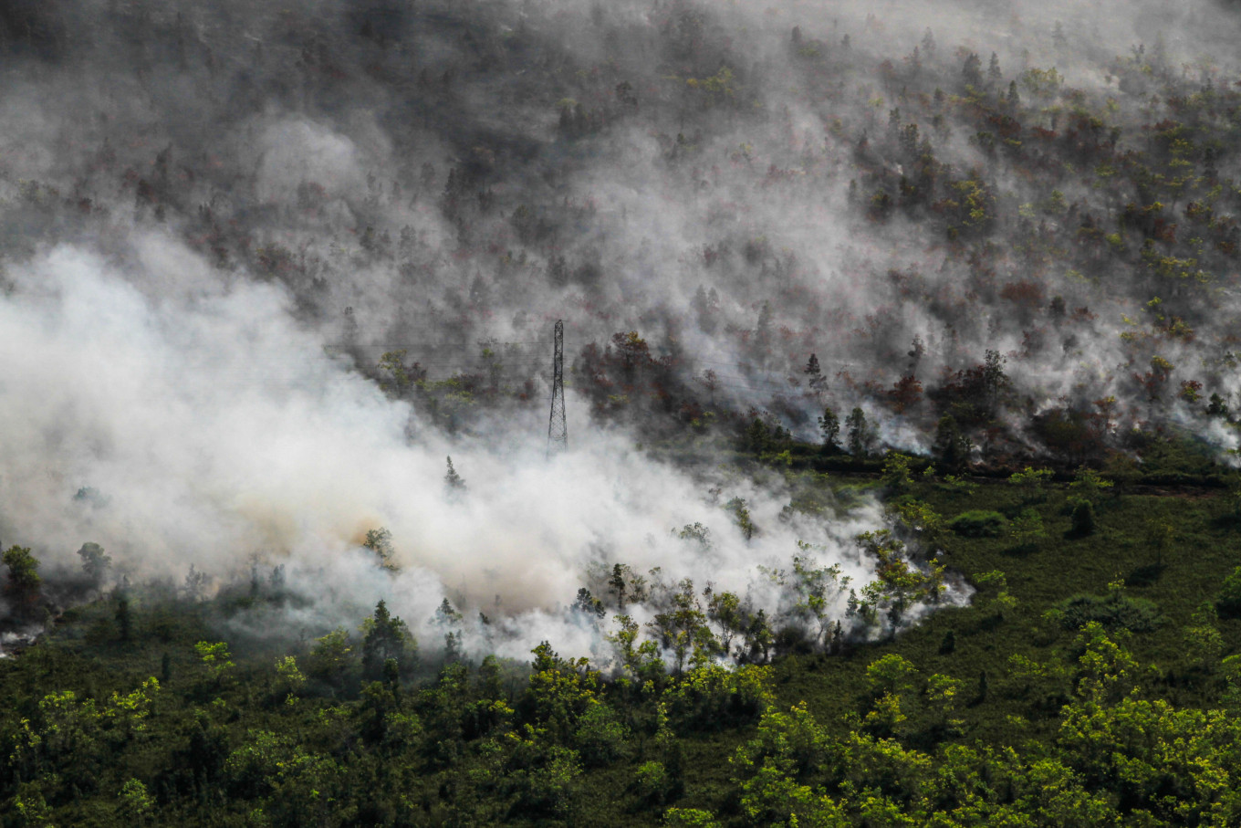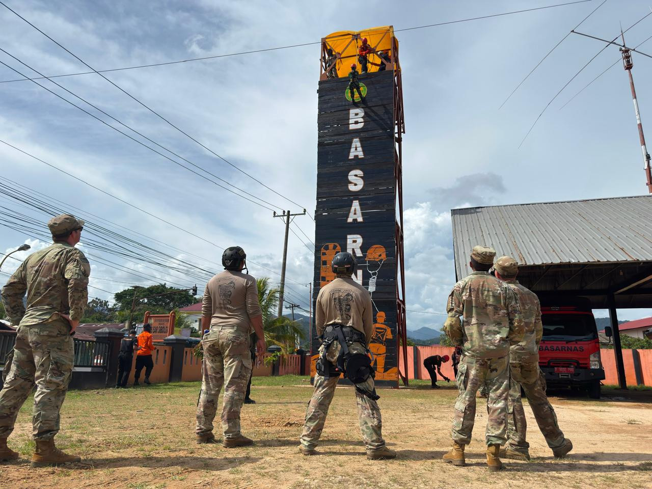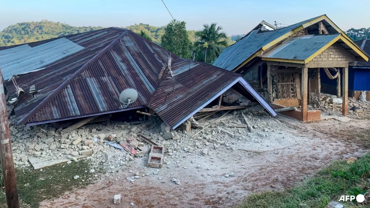
Indonesia sits squarely on the Pacific Ring of Fire and the equatorial belt, making it one of the most disaster-prone regions on earth. Recently, we’ve witnessed a stark reminder of this vulnerability: a high-magnitude tectonic shift struck off the north coast of East Nusa Tenggara, triggering localized tsunamis in Manggarai, while massive forest fires simultaneously choked regions in Kalimantan.
To put the geographic gravity into perspective: the epicenters brush close to places like Komodo Island—the native habitat of the iconic Varanus komodoensis—and impact dense island communities alike. Yet, when disasters of this magnitude strike, a recurring bottleneck exposes itself: our disaster response mechanisms are chronically lagging behind the data.
The Siloed State of Geospatial Data in Government
On paper, Indonesia shouldn't lack spatial intelligence. We have a robust array of institutional bodies managing heavy-duty geographic information systems (GIS):
KLHK (Ministry of Environment and Forestry) for land cover and hotspot tracking.