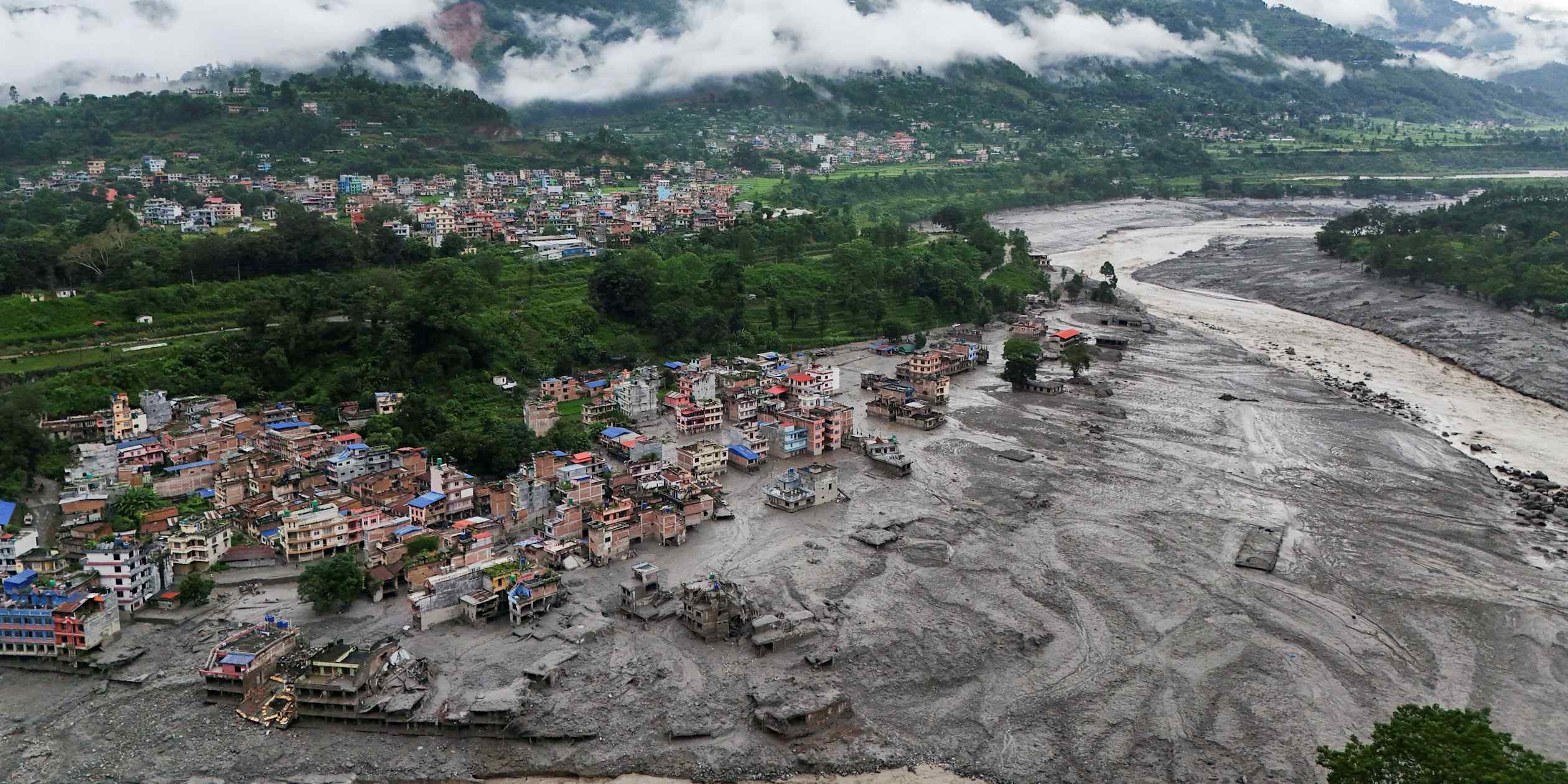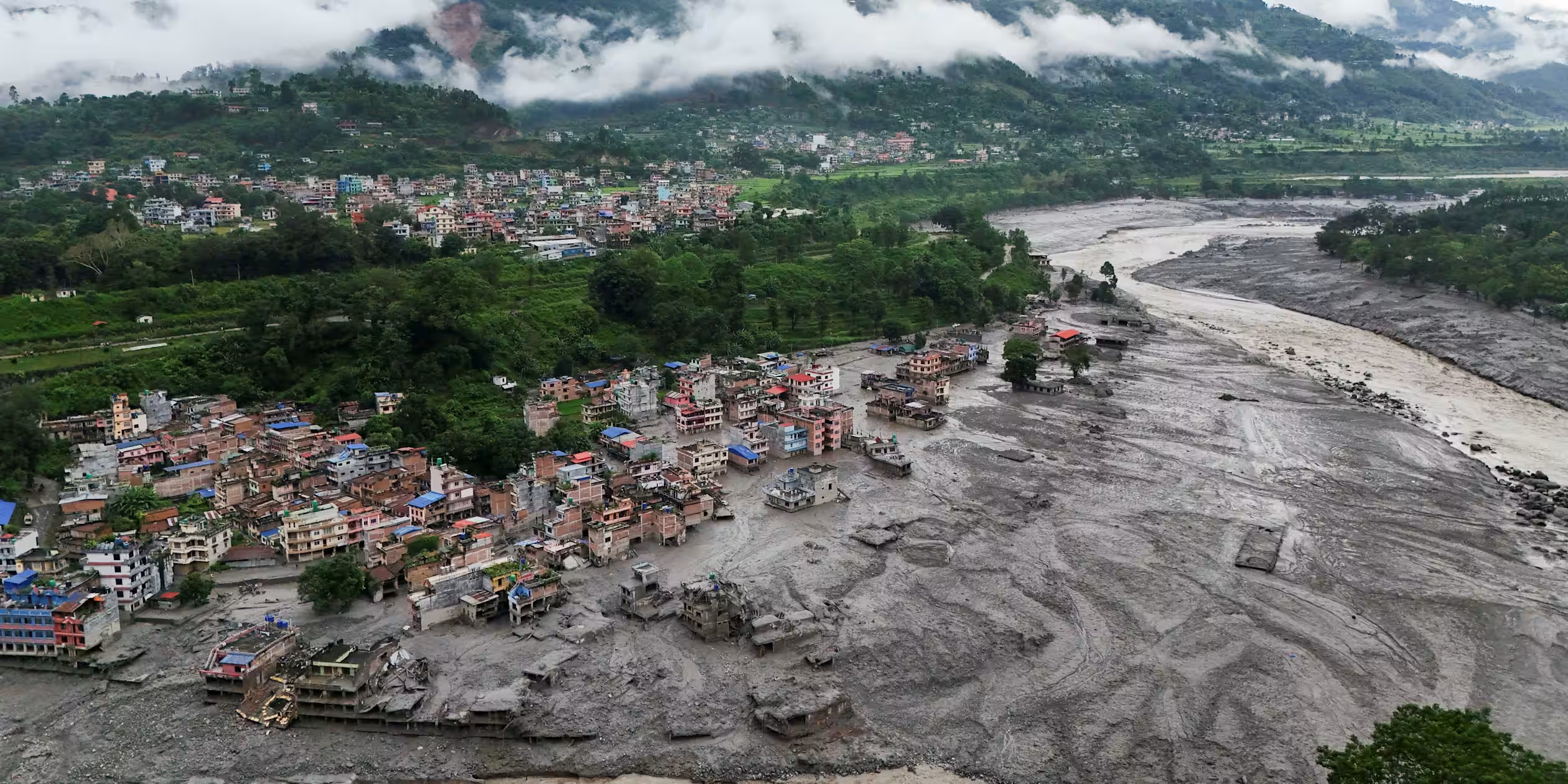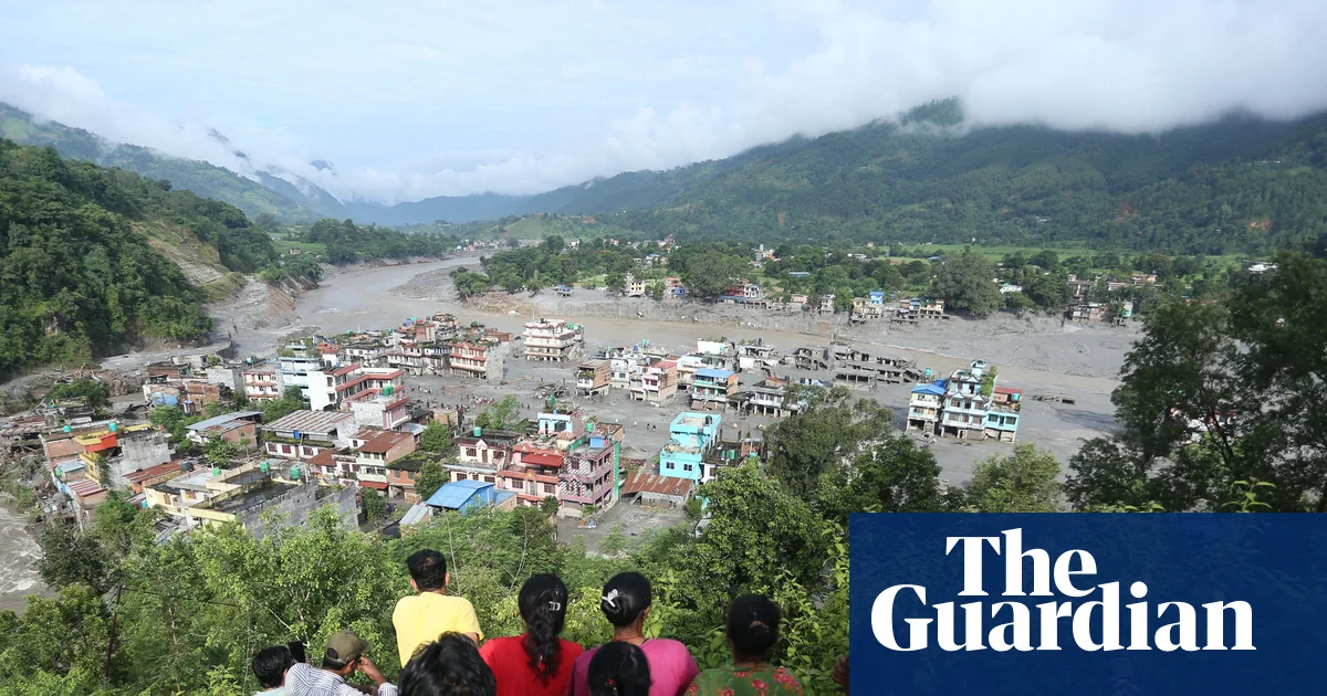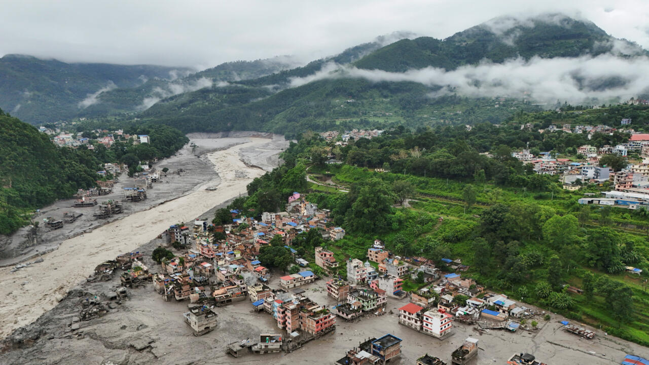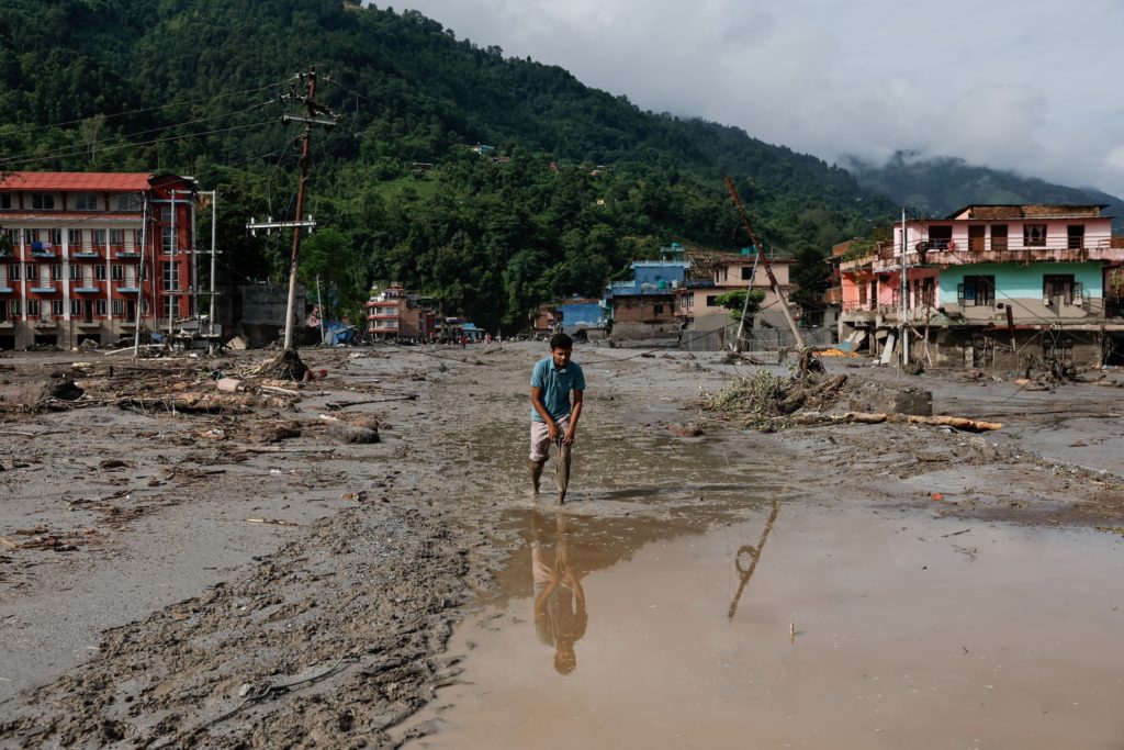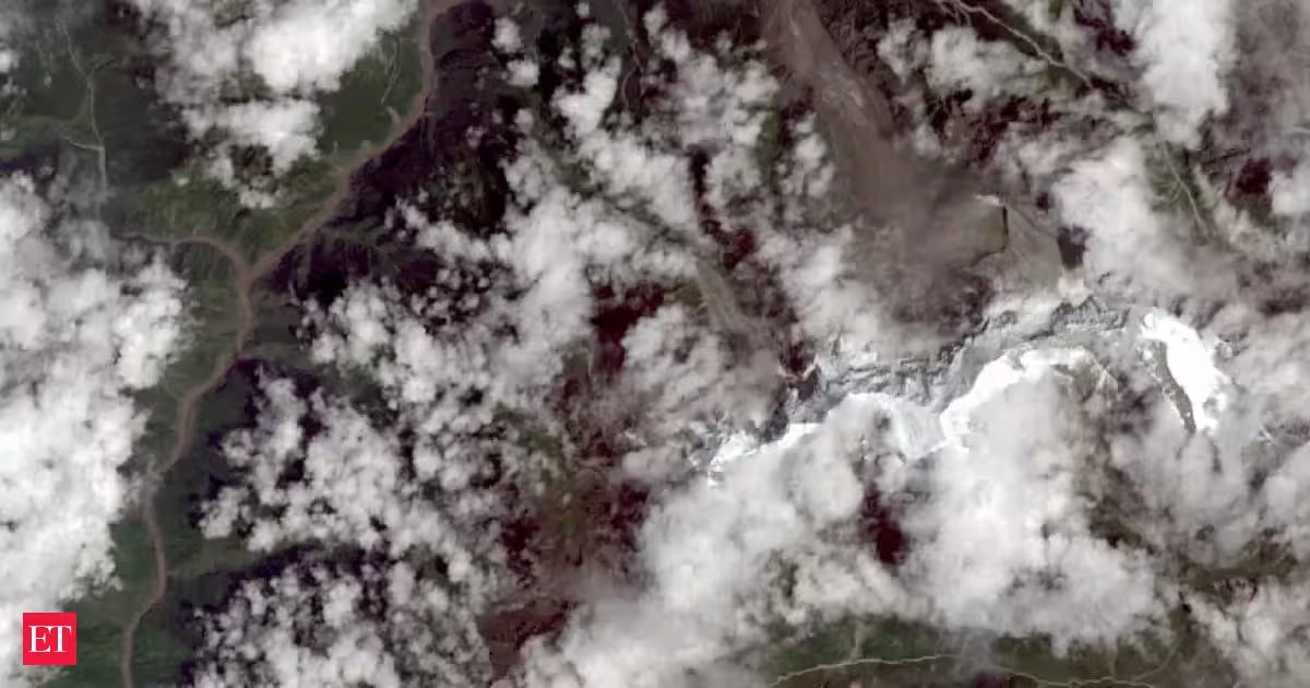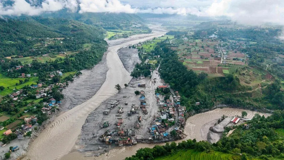
The aftermath of flash floods at Devighat, Bidur Municipality, along the confluence of the Trishuli and Tadi rivers in Nepal’s Nuwakot District. (AFP/Yonhap)
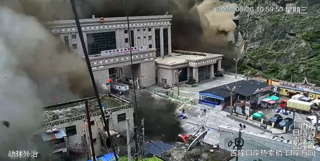
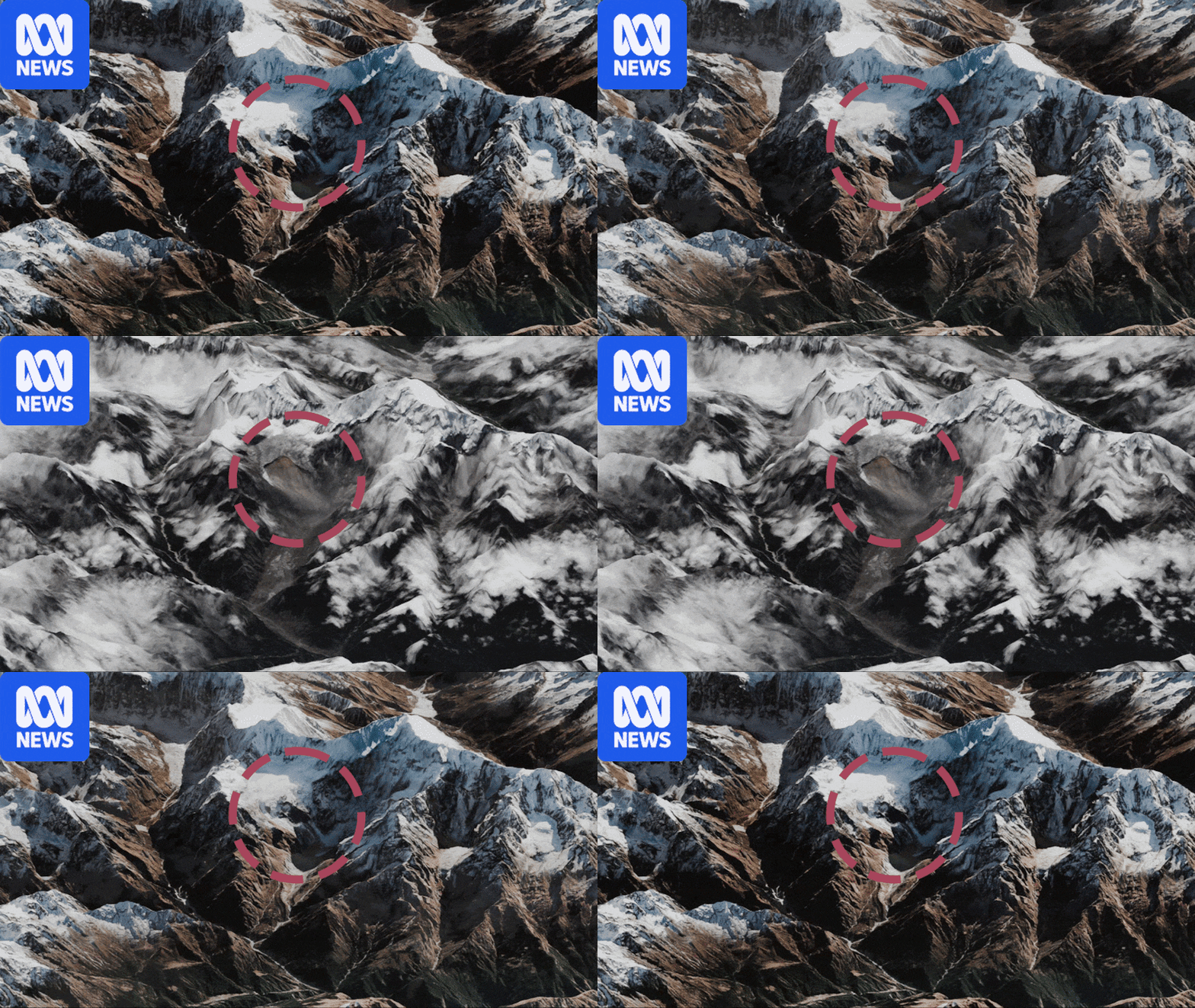
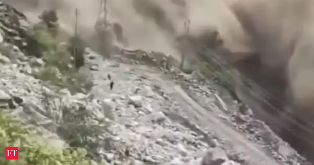
The Himalayas’ glaciers are drawing renewed attention after glacial collapse triggered catastrophic flash floods in Nepal and Tibet last week, underscoring the vulnerability of the mountain range, which holds more glaciers than any region outside the polar areas.As Asia’s “water tower,” such glaciers are gradually melting and flowing into rivers that supply water to 2 billion people in Asia. Yet more floods and erosion are expected as climate change has doubled the rate of glacier melt. In May, the global academic journal Science published a study by a research team led by scientists at China University of Geosciences in Beijing, who tracked and analyzed river flow in three major basins in the upper Himalayas over a 40-year period. Using satellite imagery and field observation data, the researchers examined 1,079 bends along river channels spanning 1,582 km in upstream basins of the Himalayan highlands from 1980 to 2020.
The location of glaciers and rivers in the Himalayas. Purple represents glaciers, while blue traces the main channels. White represents the “meandering” of rivers.