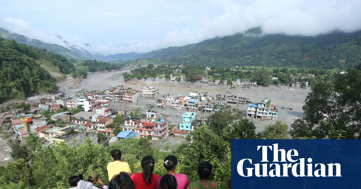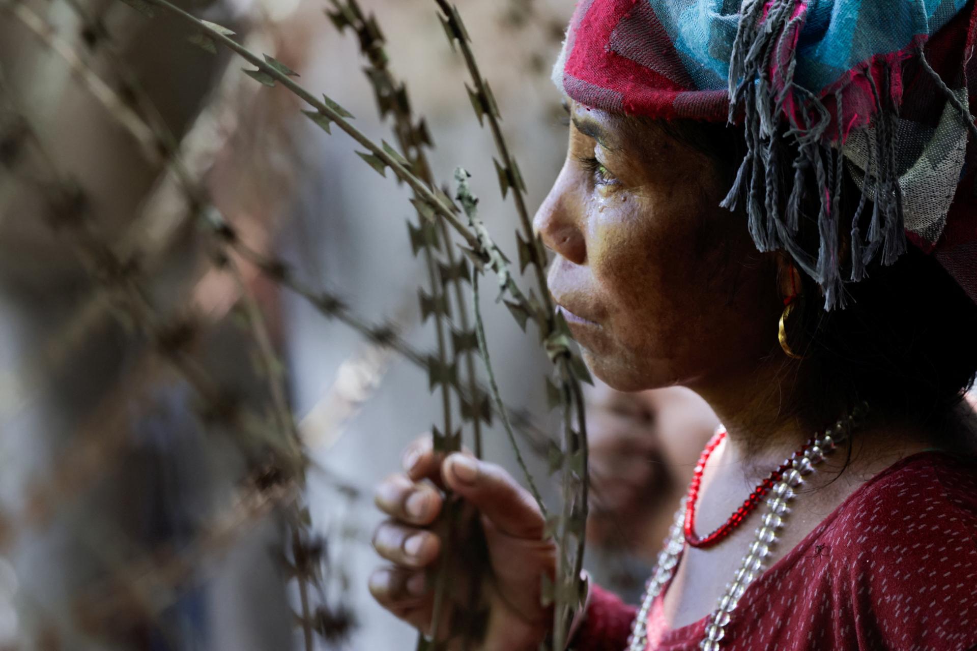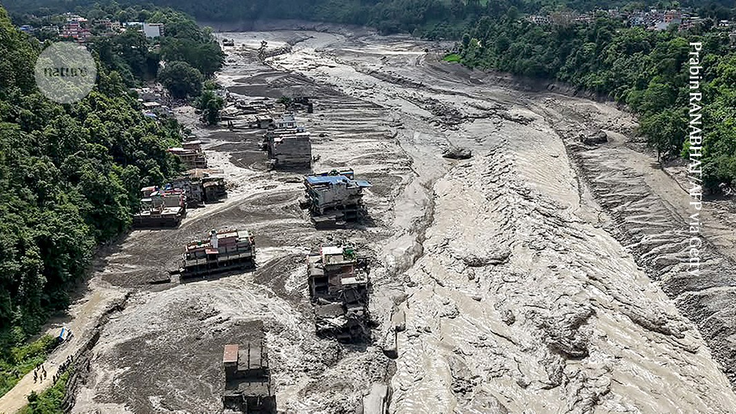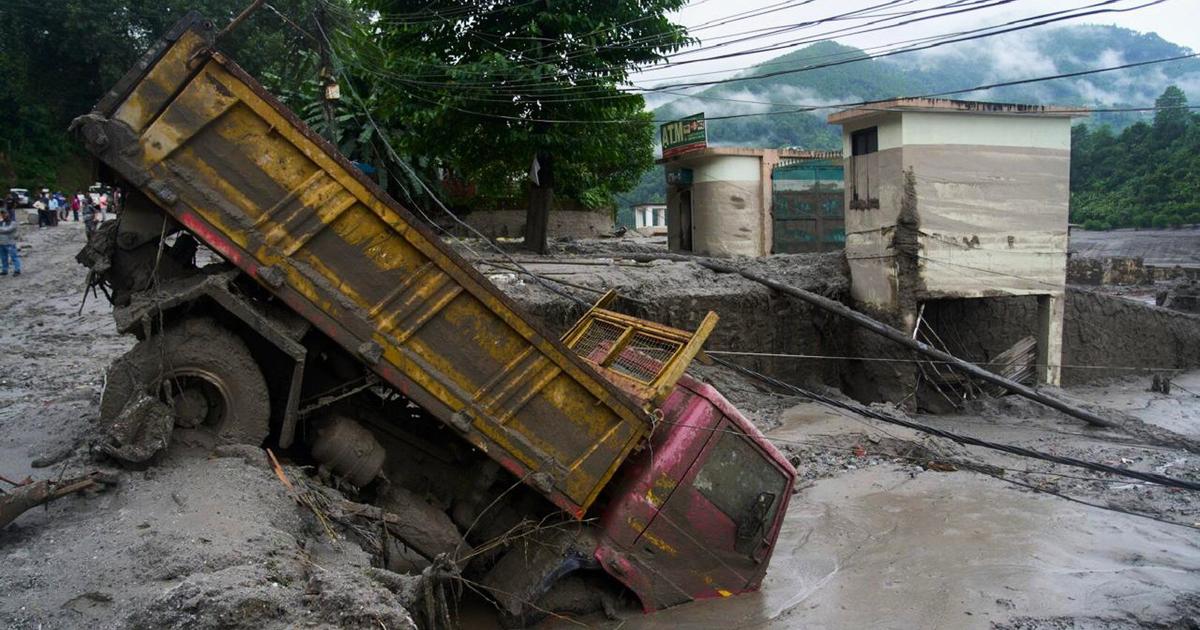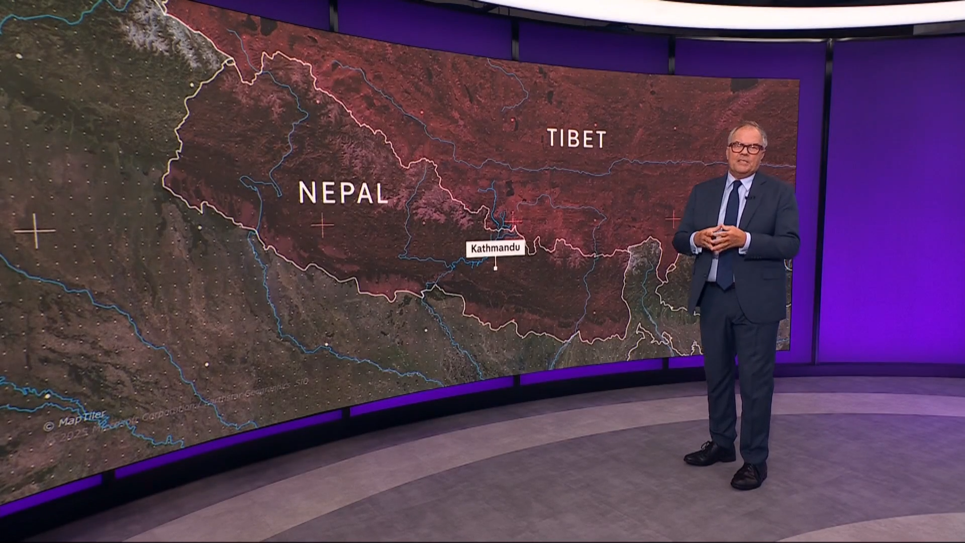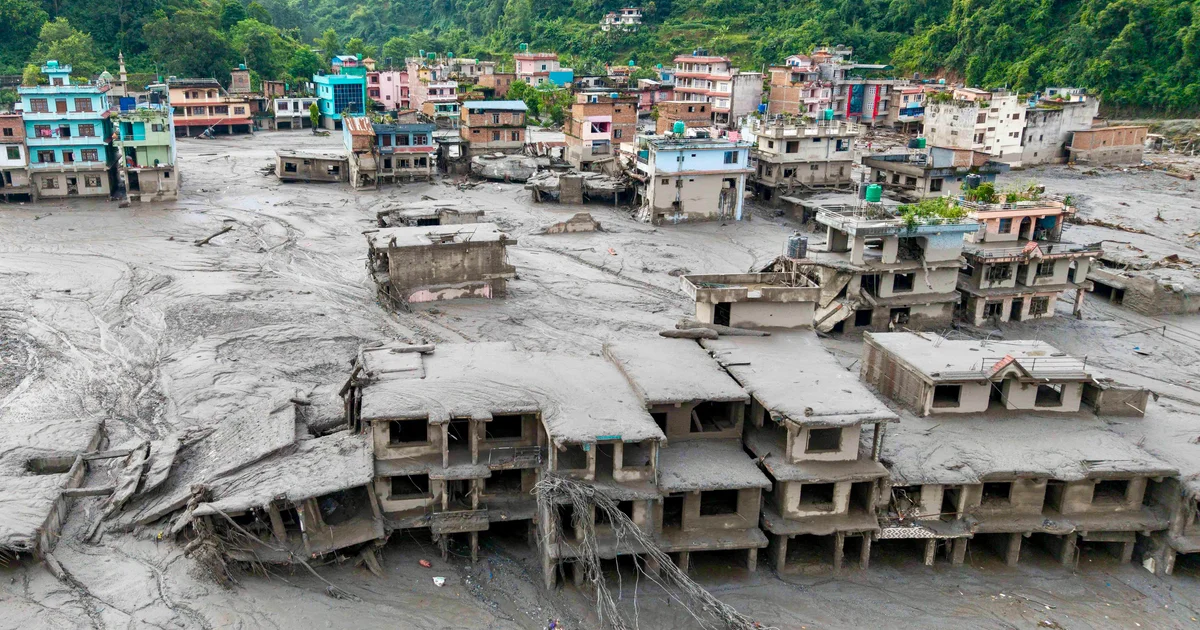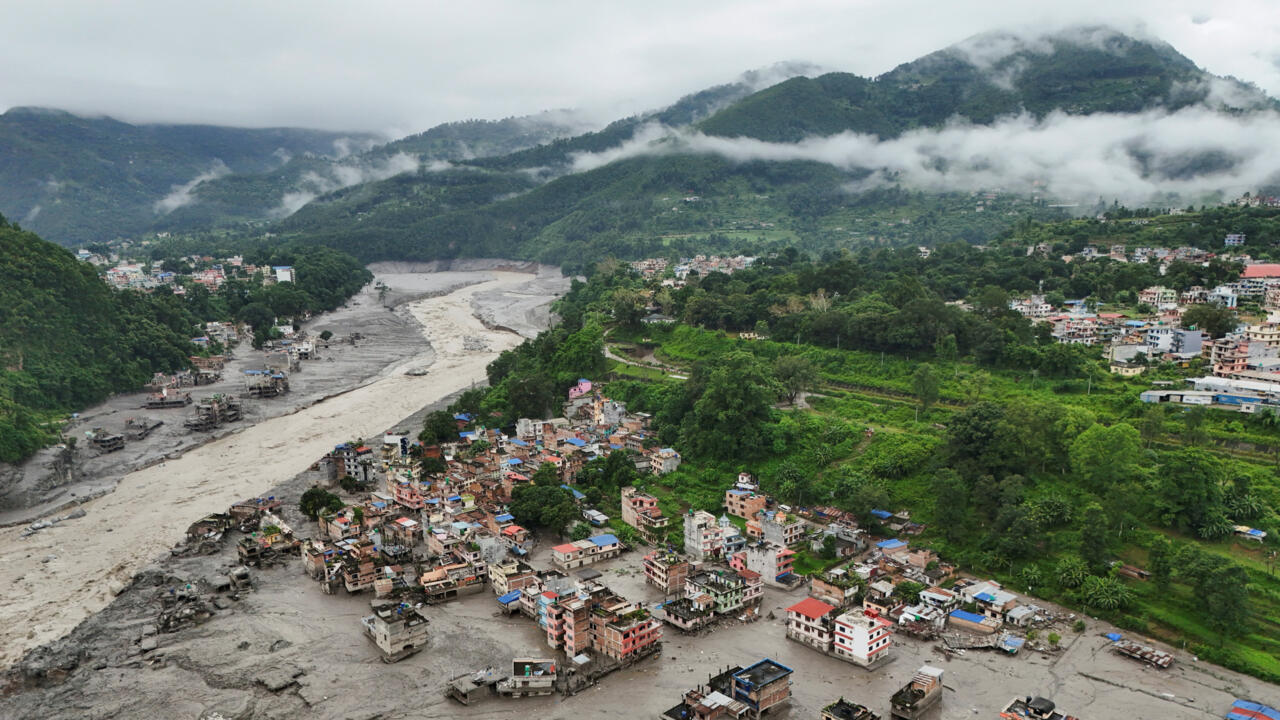
A massive glacier collapse that triggered deadly flooding on the Nepal-Tibet border has exposed the growing dangers facing the rapidly warming Himalayas, where scientists say retreating ice and thawing ground are making mountain landscapes increasingly unstable.
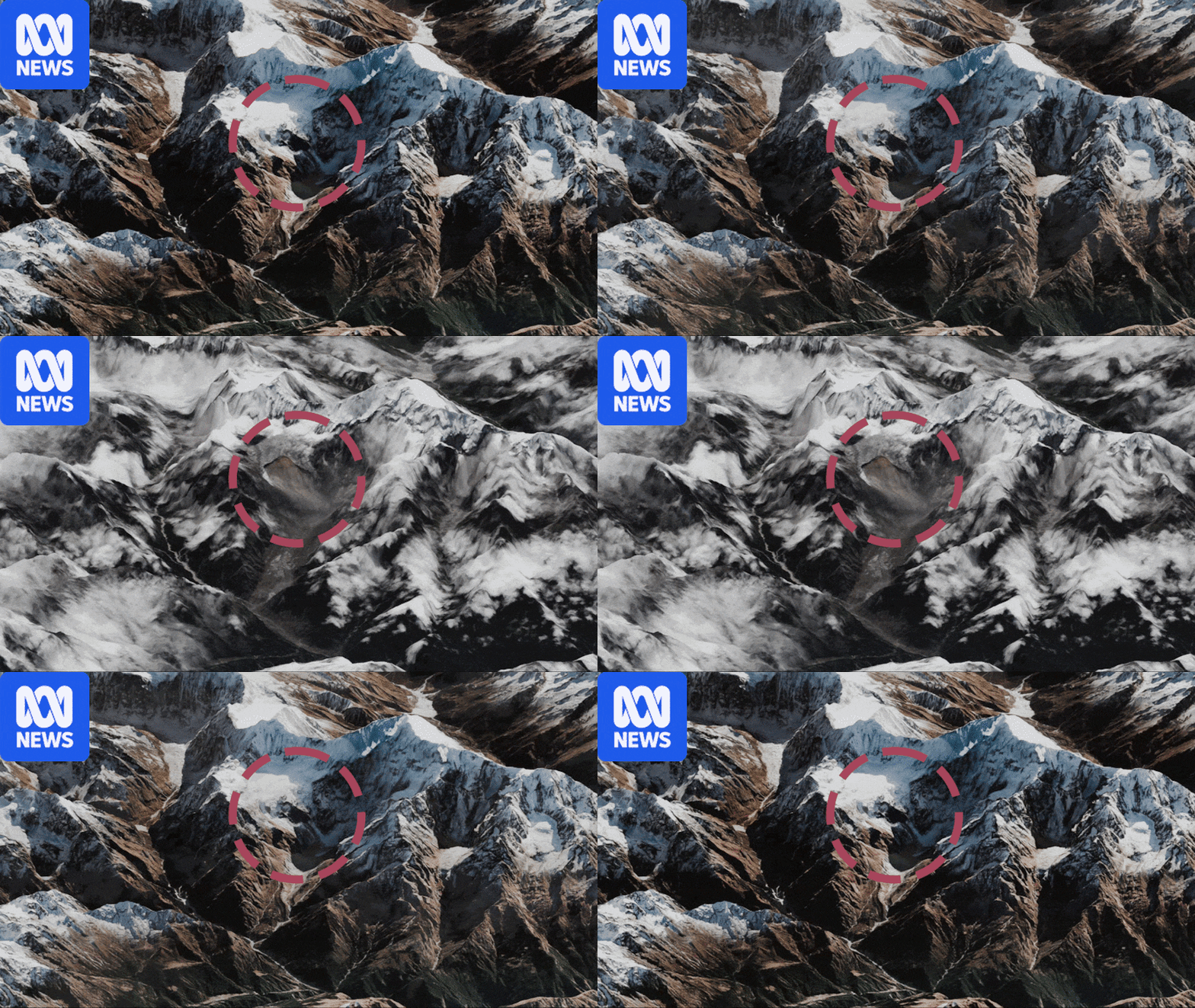
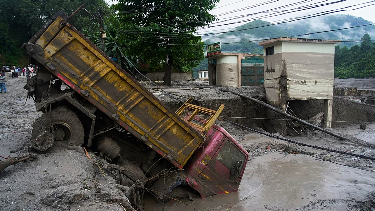
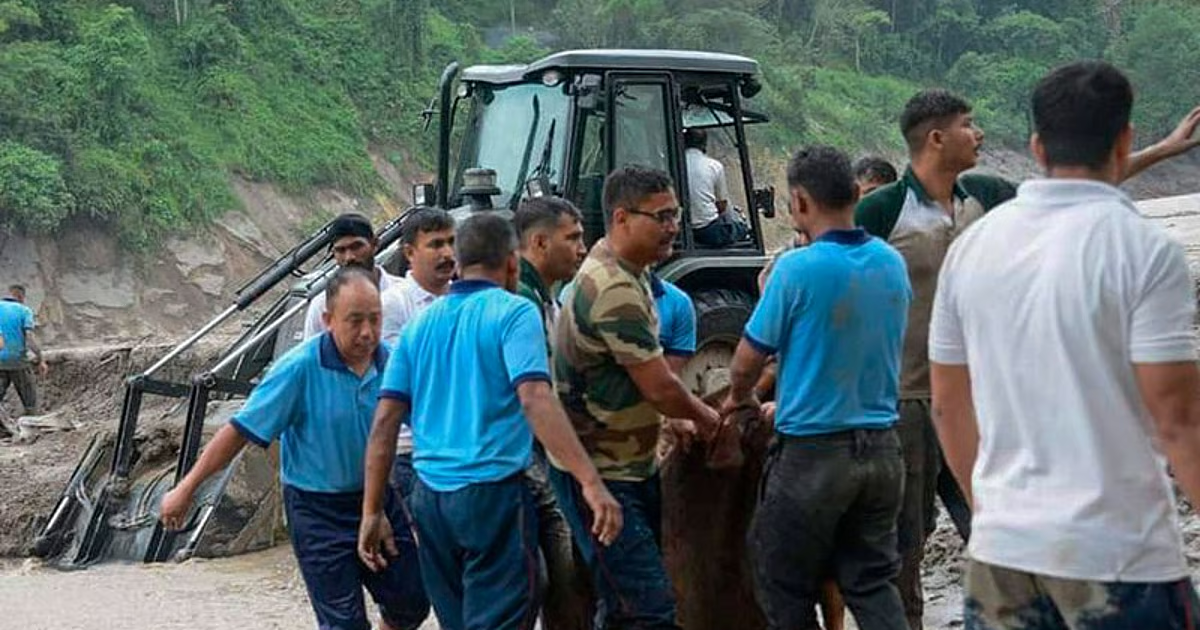
Scientists are still investigating what caused Wednesday's collapse and say it is too early to attribute this particular disaster to climate change. But rising temperatures are already changing glaciers, glacial lakes and permafrost across the region, increasing the risk of destructive events involving ice, rock and water. The disaster began when a huge mass of ice and rock fell from a glacier high in the Himalayas and temporarily blocked the Lhende Khola river. When the blockage gave way, water, rock and debris surged downstream, devastating communities along the Nepal-Tibet border. The US Geological Survey initially recorded a magnitude 4.4 earthquake in the area, but later concluded that no earthquake had occurred. Instead, the glacier collapse and debris flow generated the seismic signal, which was later measured as a magnitude 5.2 event. Hundreds of people have been killed and more than 1,000 remain missing. Water levels on the Trishuli River at Galchhi rose by as much as nine metres in just 30 minutes, according to the International Centre for Integrated Mountain Development, or ICIMOD. EU joins aid effort as more than 1,300 remain missing after Nepal floods The disaster comes as the Hindu Kush Himalaya region undergoes rapid changes. ICIMOD says glacier ice-loss rates across the mountain range have doubled since 2000, while permafrost is degrading and snow patterns are changing. Prashant Baral, a cryosphere analyst and permafrost research consultant at ICIMOD in Kathmandu, spoke to RFI about what may have triggered the disaster, how climate change is reshaping the Himalayas, and the risk of another collapse. RFI: What do scientists know about the causes of the massive landslide and floods on the Nepal-Tibet border? Prashant Baral: We analysed the satellite images today [Thursday], and we can see that there has been a rock-ice avalanche. The possible trigger could have been a glacier collapse or bedrock failure or climate change-related conditions, but we cannot ascertain that as of now. What we can say for sure is that there was a huge mass of debris, rock and ice that fell down from the glacier and it temporarily blocked the river channel. And then the dam was breached. And then this led to a deposit of debris downstream, which affected the settlements and infrastructure downstream. All of this happened within a very short period of time. RFI: Can you give us more information about the amount of material involved? PB: Regarding deposits, we need to do further investigations to precisely ascertain what volume of deposits came down the valley and then got deposited downstream. But as of now, it seems that there were millions of cubic meters of rock, ice and debris that fell down and blocked the river channel, but then were subsequently mixed with the river water. And then they moved downstream and flooded the settlements and infrastructure. RFI: Did this phenomenon cause an earthquake, or did an earthquake cause the movement in the mountains? PB: I cannot say for sure whether the earthquake resulted due to the event or that the earthquake caused the event. But it could have been that due to this massive rock avalanche, an earthquake of small size could have occurred, or vice versa. I cannot ascertain this for now. RFI: The US Geological Survey has said the collapse of the glacier caused an earthquake. PB: If you look at the volume of deposits that have come downstream and the volume of the mass movement that has occurred, it is significantly large. And it's quite likely that that could have triggered an earthquake of that magnitude on the Richter scale. But we will know more for sure in the coming days.