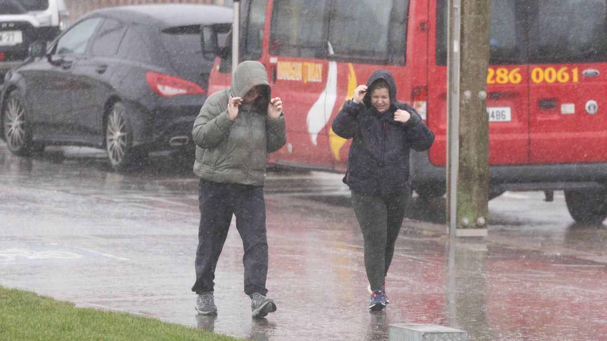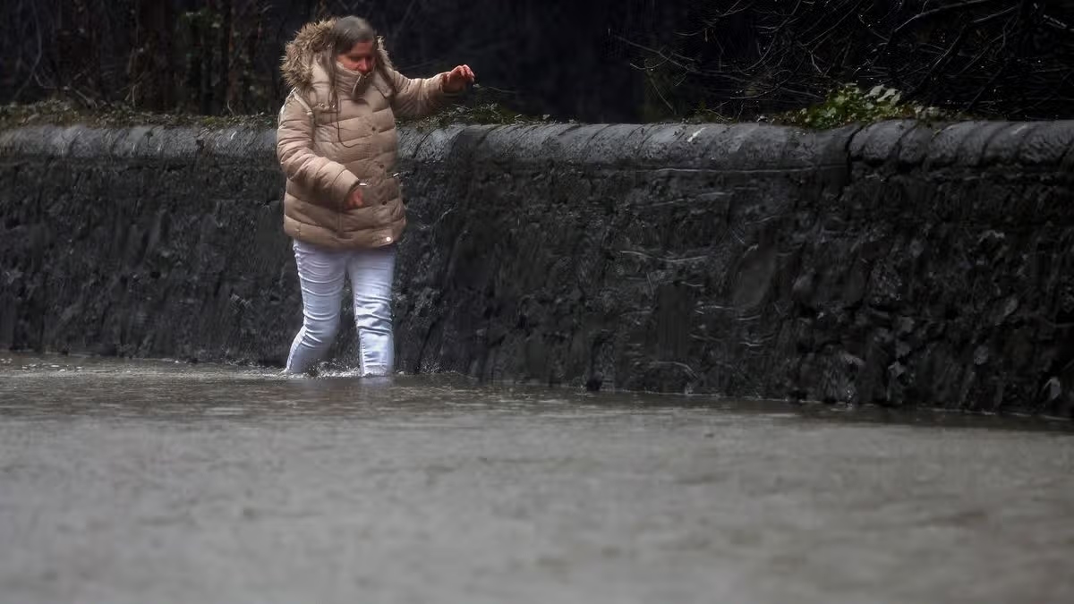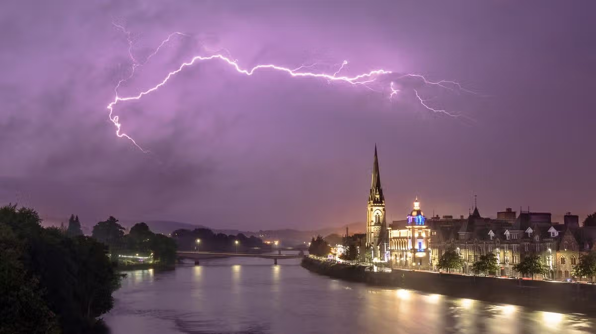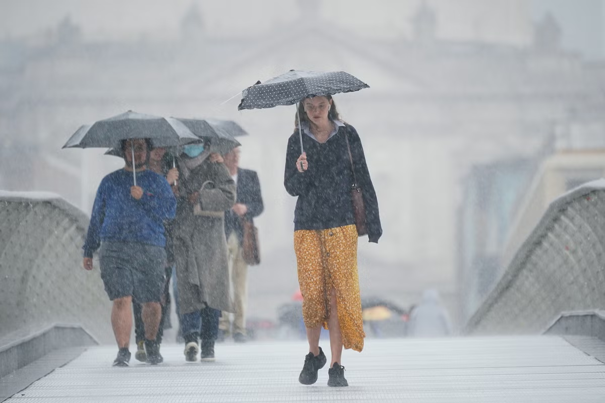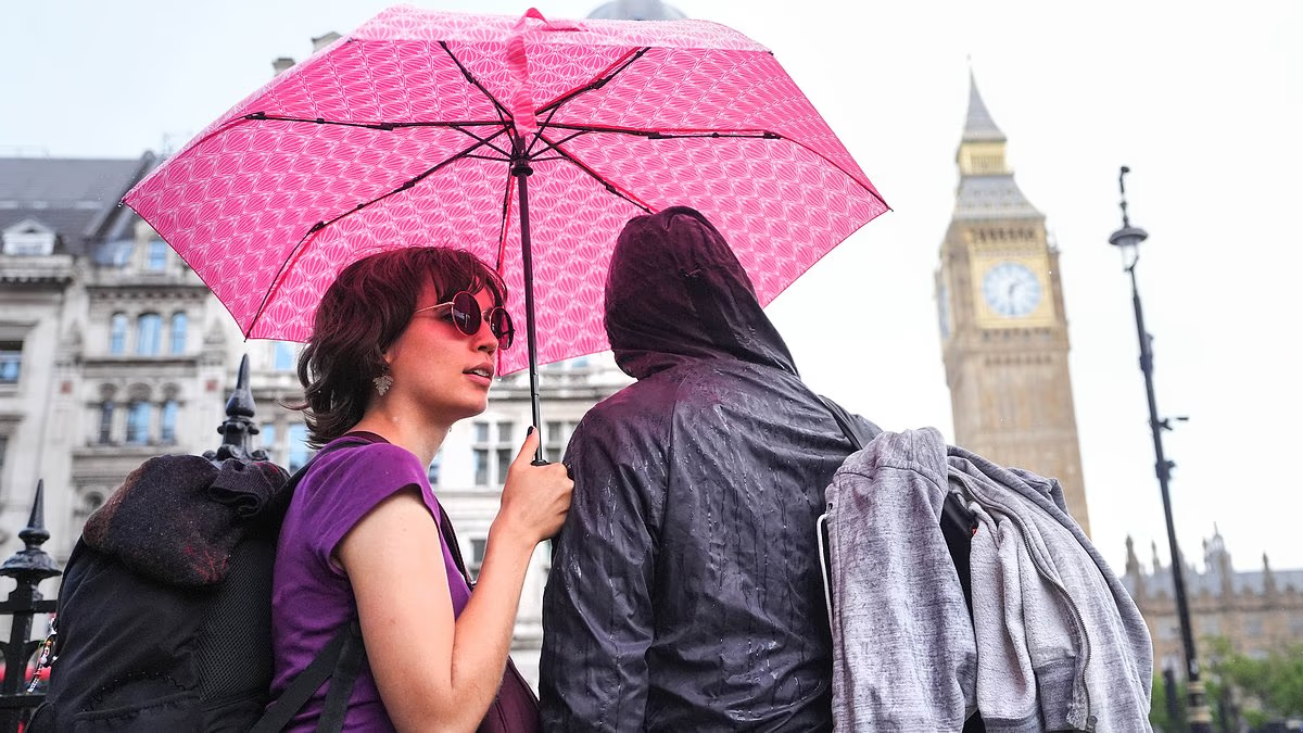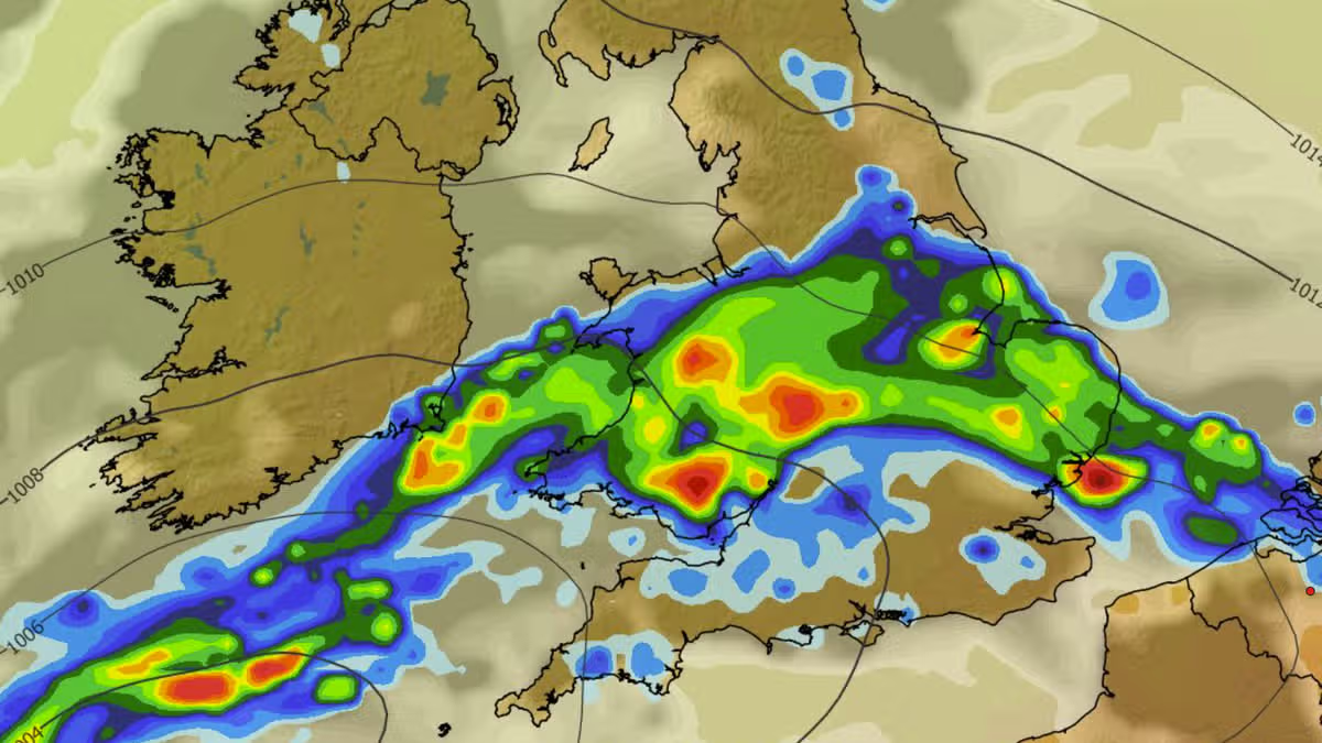
NewsUK NewsWeatherMore heavy rain and thunderstorms are on the cards on Thursday as Met Office weather forecasters urge Brits to gather essential items and prepare an 'emergency' kit12:33, 26 Aug 2026The Met Office is urging people across large swathes of England and Wales to consider preparing an “emergency” kit for Thursday.It comes after the Met Office issued two weather warnings for thunderstorms, one for today and one for Thursday.Today’s warning is in force until 10pm and covers parts of southern, eastern and central England as well as parts of Wales. Cities including London and Birmingham are all impacted.However, a larger warning is due to come into force at 6am on Thursday, lasting until 10pm. Again it covers parts of England and Wales, and warns as much as 75mm of rain could fall across 12 hours.Content cannot be displayed without consentIt also warns there is a risk of lightning strikes, hail, floods and power cuts, and people in the warning area are urged to consider preparing for the extreme weather.If your area is prone to flash flooding, the Met Office says: “Consider preparing a flood plan and an emergency flood kit.”The Met Office recommends including the following items in any flood kit: insurance documents and list of contact numbers; torch and spare batteries; first aid kit and any prescription medicines; warm waterproof clothes and blankets; bottled water and snacks; battery or wind-up radio; supplies for looking after your baby or pet.The warning also states people should “ensure moveable objects or temporary structures are well secured” before strong winds arrive, including bins, garden furniture, trampolines, tents, gazebos, sheds and fences.Finally, the Met Office urges people to prepare for potential power cuts by gathering torches, batteries, a mobile phone power pack and other essential items.The warning covers a total of 73 areas tomorrow. They are all either in England or Wales.Areas covered by thunderstorm warning on ThursdayDerbyDerbyshireLeicesterLeicestershireLincolnshireNorthamptonshireNottinghamNottinghamshireRutlandBedfordCambridgeshireCentral BedfordshireEssexHertfordshireLutonNorfolkPeterboroughSuffolkBuckinghamshireMilton KeynesOxfordshireBlackburn with DarwenBlackpoolCheshire EastCheshire West and ChesterCumbriaGreater ManchesterHaltonLancashireMerseysideWarringtonBristolGloucestershireNorth SomersetSouth GloucestershireSwindonWiltshireBlaenau GwentBridgendCaerphillyCardiffCarmarthenshireCeredigionConwyDenbighshireFlintshireGwyneddIsle of AngleseyMerthyr TydfilMonmouthshireNeath Port TalbotNewportPembrokeshirePowysRhondda Cynon TafSwanseaTorfaenVale of GlamorganWrexhamHerefordshireShropshireStaffordshireStoke-on-TrentTelford and WrekinWarwickshireWest Midlands ConurbationWorcestershireEast Riding of YorkshireNorth LincolnshireNorth YorkshireSouth YorkshireWest YorkshireYorkMet Office weather forecastThe Met Office says “slow-moving heavy and thundery rain” is likely on Thursday, with “unsettled conditions” possibly set to continue on Friday and into the weekend.The outlook for this weekend states: “Low pressure systems will continue to bring rain and heavy showers across many areas through this period. Temperatures trending nearer to average, but feeling warm in the sunnier moments.”Article continues belowTemperatures should peak at 27C tomorrow, with 26C coming on Friday and Saturday, and 25C on Sunday.Choose Daily Mirror as a 'Preferred Source' on Google News for quick access to the news you value.Met OfficeFloodsWeatherWeather warningStormsEnglandWalesLondonBirmingham
Brits in 73 areas urged to prepare 'emergency' kit within hours - full list
More heavy rain and thunderstorms are on the cards on Thursday as Met Office weather forecasters urge Brits to gather essential items and prepare an 'emergency' kit
445 words~2 min read