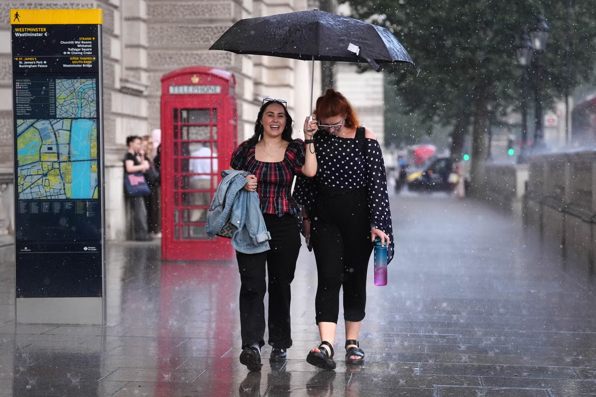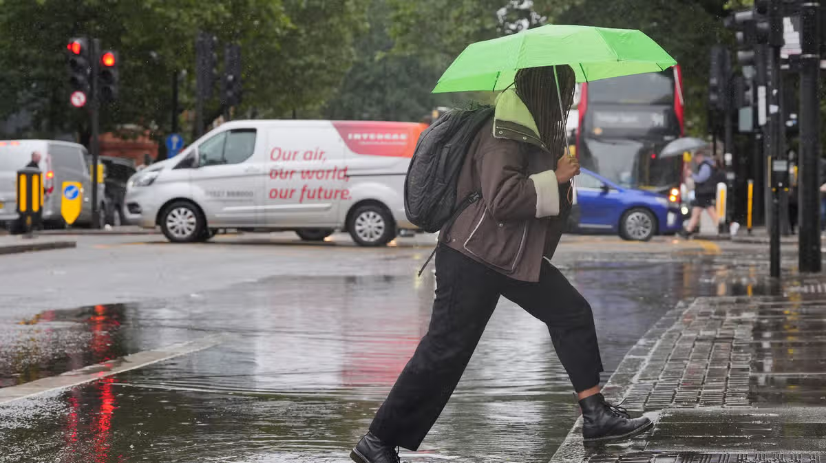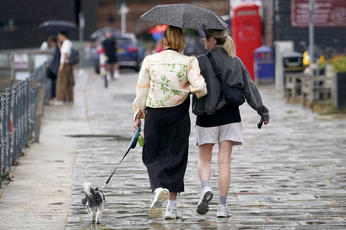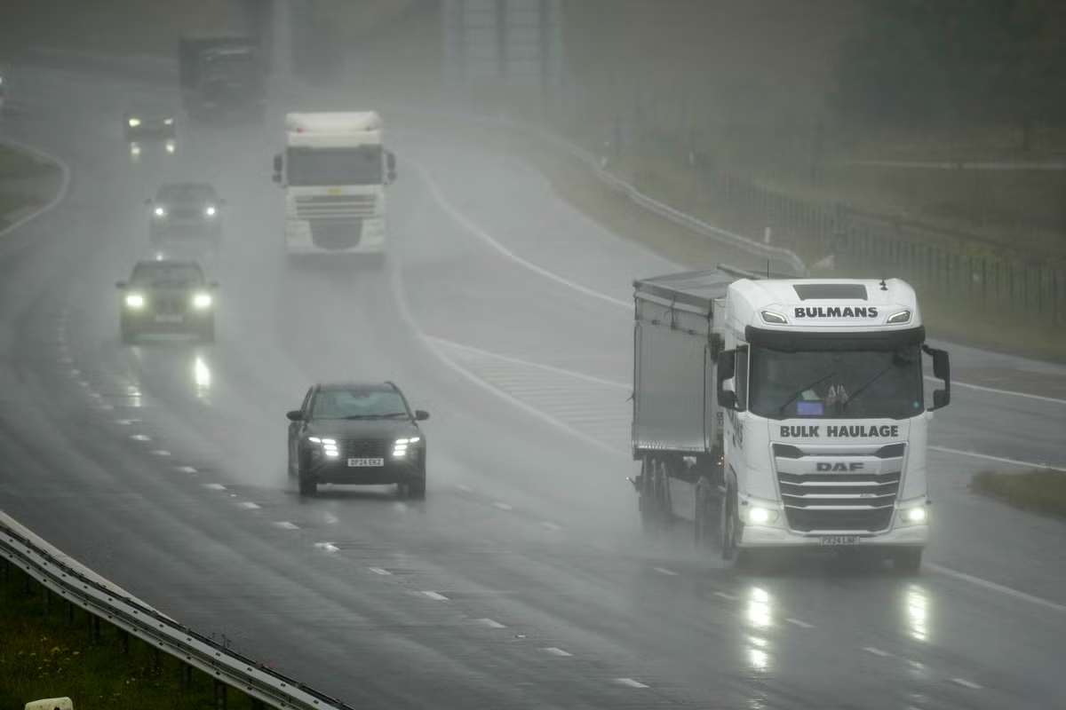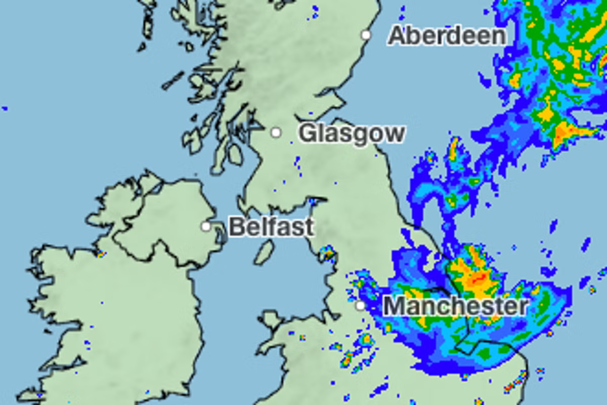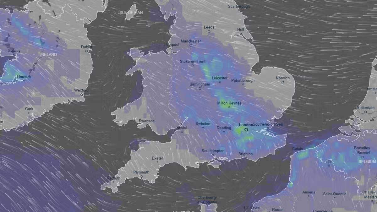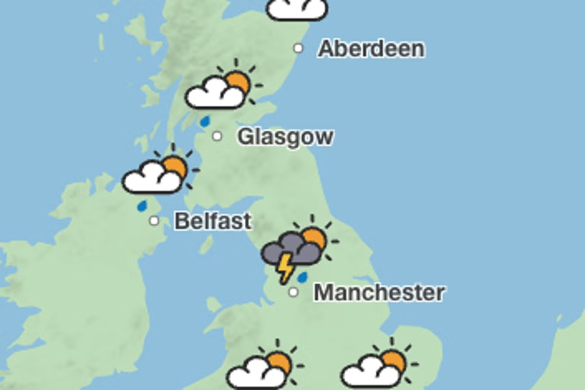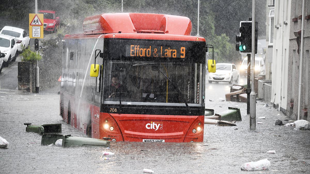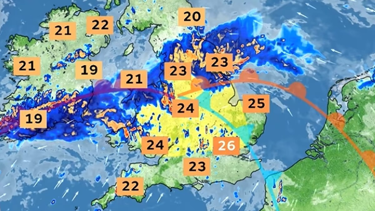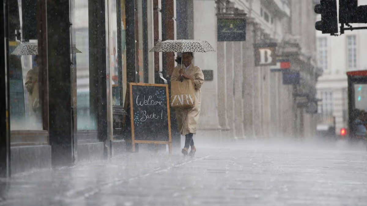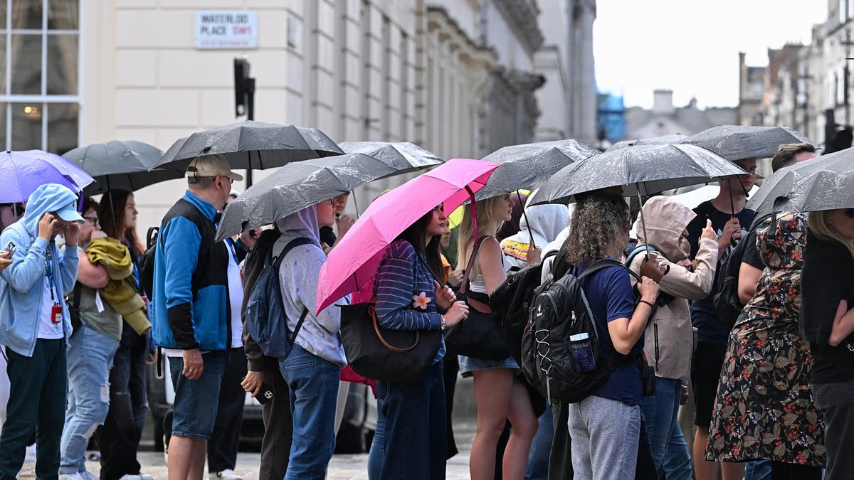
Britain faces thunderstorms, hail, strong winds and up to a month's worth of rain in a matter of hours over the coming days as drought-hit areas brace for flash flooding.The Met Office said this week will begin dry and sunny for the UK as temperatures reach 25C (77F) today before another settled day tomorrow with the odd shower.But conditions will turn unsettled from Wednesday with outbreaks of rain becoming widespread as warm and humid air spreads northwards across the country.Heavy showers and thunderstorms are likely to develop, particularly across England and Wales, with the biggest area of thundery rain sweeping across the south-west.Forecasters said local rainfall totals of up to 30mm (1.2in) within three to four hours are possible in places, while cumulative totals of up to 60mm (2.4in) may develop.But uncertainty remains over exactly where the areas of thunderstorms will develop, meaning rainfall amounts could vary significantly over relatively small distances.A band of heavy and potentially thundery rain will then move slowly northwards through England and Wales on Thursday, which could impact the same areas.Friday could again see a slow-moving band of heavy rain across the UK as an area of low pressure develops and could bring 'intense' downpours at times. Tourists carry umbrellas during heavy downpours next to Pall Mall in London last ThursdayMore thunderstorms are also possible and winds are expected to strengthen during Friday, especially in eastern and north-eastern coastal areas.Met Office deputy chief forecaster Mark Sidaway said: 'While many areas will see dry and increasingly warm conditions at the start of the week, attention is turning to the potential for heavy rain and thunderstorms from Wednesday onwards.'As warmer and more humid air moves north across the UK, there is an increasing likelihood of some heavy rain developing.'Some places could see 20 to 30mm of rain in just a few hours, while there is also the potential for higher totals where thunderstorms repeatedly affect the same locations.'He added that the 'detail of which areas will see the heaviest rainfall is still uncertain', but there was an 'increasing risk of impactful weather during the latter part of the week'.BBC lead weather presenter Sarah Keith-Lucas also said: 'Heavy rain falling on dry and hard ground may bring the risk of localised flooding.'The UK is now entering the final week of an exceptionally hot and dry summer which has plunged nearly three-quarters of England and all of Wales into drought, with 28million people under hosepipe bans.Rivers and reservoirs are running low after some areas went two months without rain. Wisley in Surrey had 62 consecutive dry days until last week, while London Heathrow had 56 dry days.Last month was the driest July on record for England, with the south-east left severely parched. Met Office data showed East Anglia had just 2mm (0.1in) of rainfall in July, and 56.3mm (2.2in) in June. Ducks in a small pool of water at the dried-up Heath Park Lake in Runcorn, Cheshire, today The parched grass of Greenwich Park against the backdrop of London, pictured last Friday
Flash flooding fears as thunderstorms sweep into Britain
The Met Office has warned conditions will turn unsettled from Wednesday with outbreaks of rain becoming widespread as warm and humid air spreads northwards across the country.
714 words~3 min read