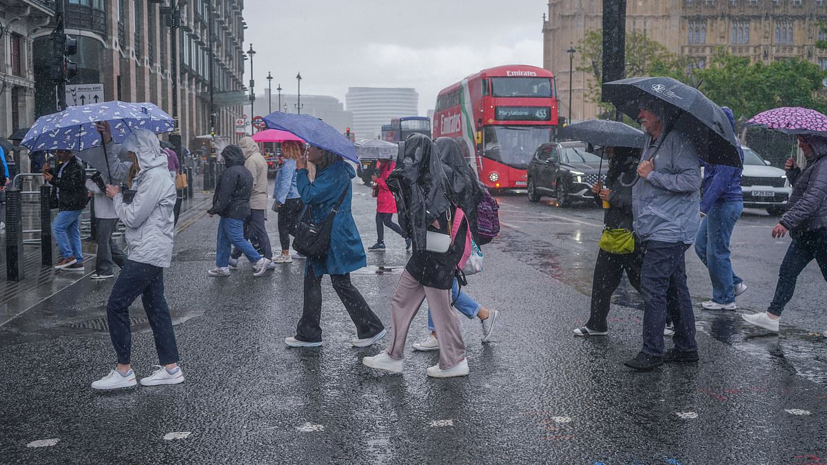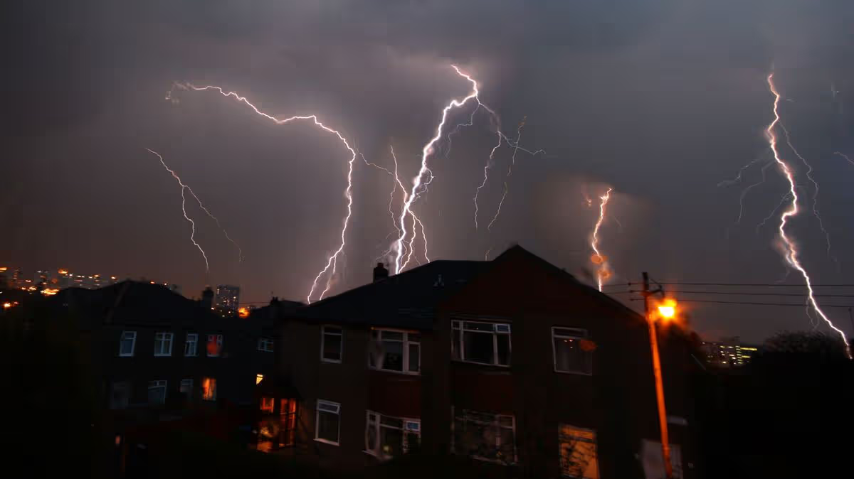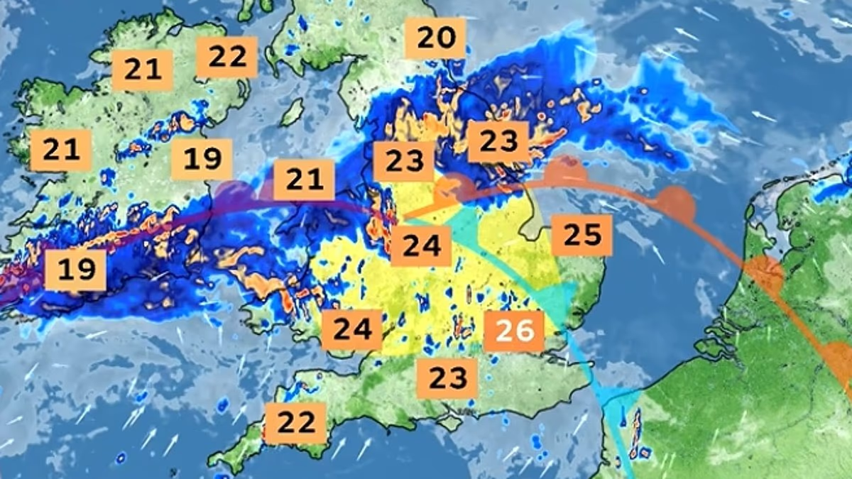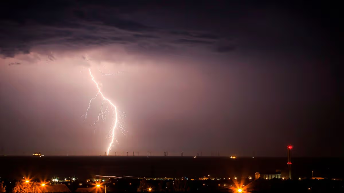
Thunderstorm warnings have come into place across parts of the country as the Met Office warns of flooding and disruption.Yellow warnings for storms are in place across the West and East Midlands, as well as the North West, South East, South West and east of England, and parts of Wales.The alerts came into force in England and Wales at 3am and will last until 10pm on Wednesday. Another thunderstorm warning will kick in at 6am on Thursday until 10pm.A thunderstorm warning is in place across England and Wales today (Met Office)The Met Office warned there is a “small risk of flooding and disruption from thunderstorms” with the potential for power cuts after a summer of record-breaking dry conditions.Five flood alerts are in place as the Environment Agency warned the following areas could experience a deluge on Wednesday:Loughborough urban watercourses and local tributaries to the River SoarRiver Leen, Day Brook and Tottle Brook in NottinghamshireRiver Maun in NottinghamshireRiver Trent Tributaries in NottinghamshireTributaries in Leicester City A band of heavy showers and thunderstorms is expected to move northwards this morning, with the possibility an intense downpour of 20 to 30mm of rain could fall in less than an hour. Some spots could see 40 to 50mm in two to three hours, leading to some surface water flooding, with the possibility of large hail and frequent lightning.Thunderstorms will return on Thursday (Met Office)These showers and thunderstorms are expected to drift northwards and ease during the evening.On Thursday, another band of thunderstorms and heavy rain is expected to move slowly across England and Wales. The Met Office said that 20 to 30mm of rainfall is expected to accumulate in three hours across the affected areas, and up to 50mm in 12 hours can be expected in places. There is a small chance that some places may see more than 50mm in three hours and more than 75mm through 12 hours, especially over east-facing high ground. Lightning and hail of 1 to 2cm will also be hazardous, the forecaster warned. Heavy rain is expected across parts of the country (Met Office)The Met Office warned of a slight chance that power cuts could occur, impacting homes and businesses which could be flooded quickly. Buildings could face damage from floodwater, lightning strikes or hail. Flooding and lightning could cause delays and cancellations to train and bus services.The risk of spray and sudden flooding could also lead to road closures and difficult driving conditions.Met Office chief forecaster Steve Willington attributed the unsettled weather to warmer and more humid air moving north across the UK.People under an umbrella in the rain on Sunny Sands Beach in Folkestone last week (Getty)He said: “As we move into Wednesday there is a growing risk of heavy rain and thunderstorms, with warm and humid air helping to trigger heavy showers and thunderstorms. Some places could see significant amounts of rain falling in a short period of time, bringing the potential for localised flooding, travel disruption and frequent lightning.“On Thursday, slow-moving heavy and thundery rain may bring prolonged rainfall to some areas, increasing the risk of localised impacts. There remains some uncertainty around where the heaviest rain will fall, so it is important to keep up to date with the latest forecast and warnings."The incoming downpour comes as England and Wales are expected to record one of the driest summers on record. Almost three-quarters of England is designated as under drought, as is the entirety of Wales.Scientists previously warned that a heavy downpour could cause more harm than good following the dry and hot summer, as it could lead to flash flooding in parts of the country.Areas under the Met Office warnings
Large parts of UK under thunderstorm and flood warnings today – full list of regions
The Met Office has warned of flooding, power cuts and disruption across the country
608 words~3 min read