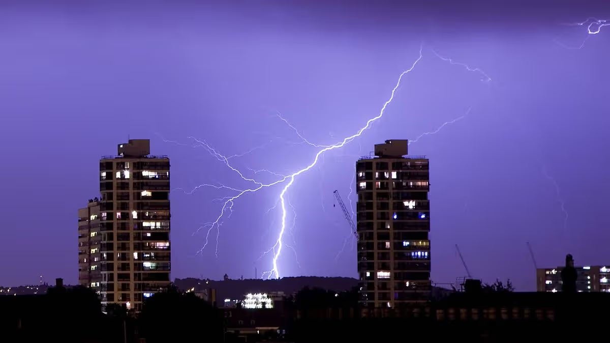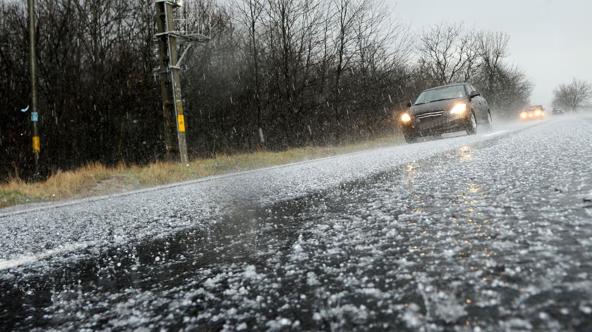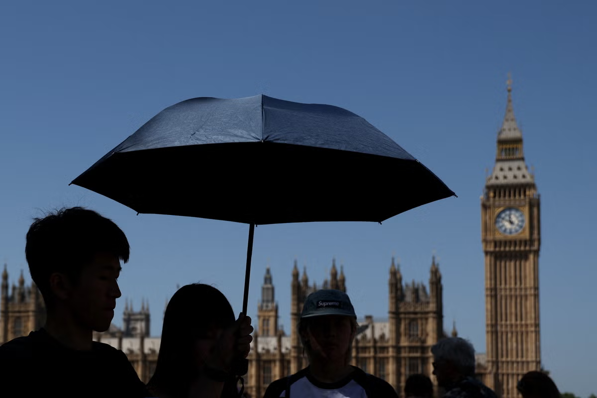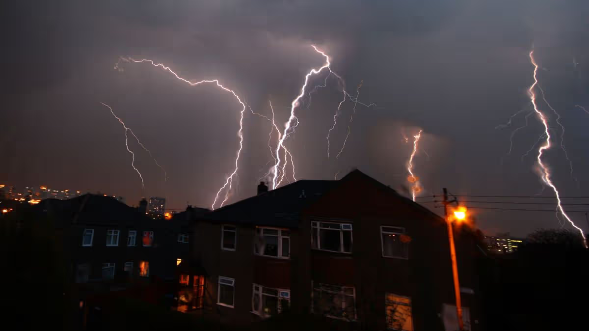
The Met Office has issued a yellow thunderstorm warning for several regions across the UK from 3pm until Tuesday night where people can expect "frequent lightning and large hail"10:19, 26 May 2026Updated 10:29, 26 May 2026Brits are being warned of ferocious thunderstorms today for parts of the country amid record temperatures.The Met Office has issued a yellow thunderstorm warning for 42 regions across the UK from 3pm until Tuesday night.The warning is covering parts of East Midlands, East of England, London and South East England, North West England, South West England, West Midlands, Yorkshire and Humber.READ MORE: UK households urged to check smoke alarms on Tuesday after night of 'tropical' heatREAD MORE: Met Office says new May heat record broken after 'tropical night' as UK faces 35CA Met Office forecast said: "Whilst many areas will miss them and remain hot and sunny, isolated thunderstorms are possible this afternoon and into the evening. These could bring frequent lightning, large hail, gusty winds and the potential for 30mm of rain in less than an hour."Temperatures did not fall below 21.3C on Monday at Kenley Airfield, south London, as the country broke the record for the warmest May night for the second consecutive day, the Met Office said.The country also recorded its provisional all-time hottest meteorological spring temperature when Kew Gardens in south-west London hit 34.8C on Monday.And the hottest May temperature could be broken again on Tuesday with an expected high of 35C across large swathes of southern England and Wales – which could even creep up to 36C, the Met Office said. Those forecasts span the Midlands, the South East, South West, East Anglia and South Wales.But thunderstorms could be sparked in the afternoon, which would affect how hot it gets, the Met Office added.The national weather agency has warned of disruption for regions covered under the yellow alert, which includes possible power cuts and flooding. It states: "Where flooding or lightning strikes occur, there is a chance of delays and some cancellations to train and bus services."There is a slight chance that power cuts could occur and other services to some homes and businesses could be lost. Spray and sudden flooding could lead to difficult driving conditions and some road closures."There is a small chance that homes and businesses could be flooded quickly, with damage to some buildings from floodwater, lightning strikes, hail or strong winds."Many places across England and Wales will reach the heatwave threshold on Tuesday and some will have had five days of it by Wednesday, Becky Mitchell, senior meteorologist at the Met Office, said.Heatwave conditions were already met in eight parts of England by Sunday night: Heathrow, Kew Gardens and Northolt in London; Benson in Oxfordshire; Brooms Barn and Santon Downham in Suffolk; High Beech and Writtle in Essex.Regions with thunderstorm warningEast MidlandsDerbyDerbyshireLeicesterLeicestershireLincolnshireNorthamptonshireNottinghamNottinghamshireRutlandEast of EnglandBedfordCambridgeshireCentral BedfordshireEssexHertfordshireLutonPeterboroughSuffolkLondon & South East EnglandBuckinghamshireMilton KeynesOxfordshireReadingWest BerkshireWindsor and MaidenheadWokinghamNorth West EnglandCheshire EastSouth West EnglandBath and North East SomersetBristolGloucestershireNorth SomersetSomersetSouth GloucestershireSwindonWiltshireArticle continues belowWest MidlandsHerefordshireShropshireStaffordshireStoke-on-TrentWarwickshireWest Midlands ConurbationWorcestershireYorkshire & HumberSouth YorkshireWest Yorkshire
Met Office power cuts warning as 42 UK areas set for 'intense' thunderstorms
The Met Office has issued a yellow thunderstorm warning for several regions across the UK from 3pm until Tuesday night where people can expect "frequent lightning and large hail"
498 words~2 min read