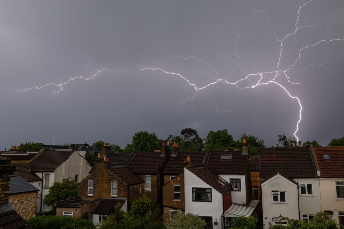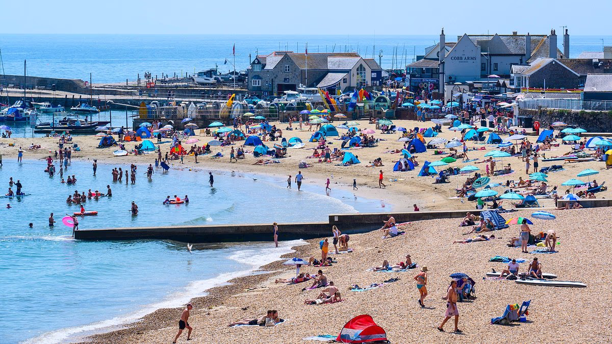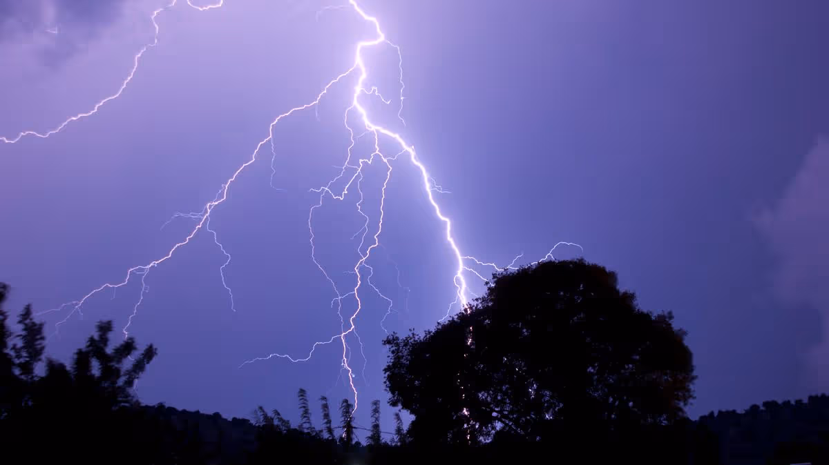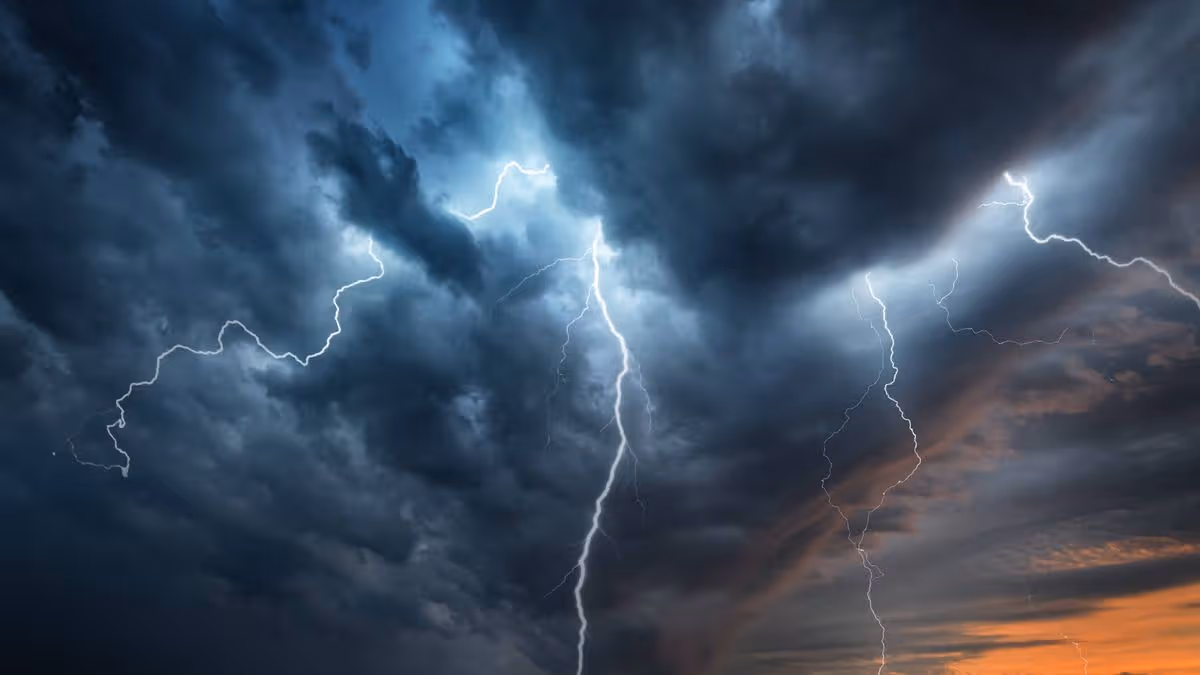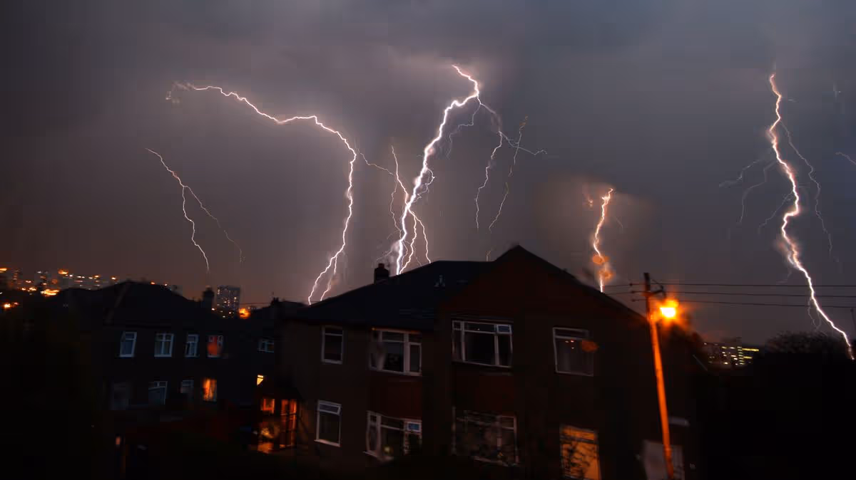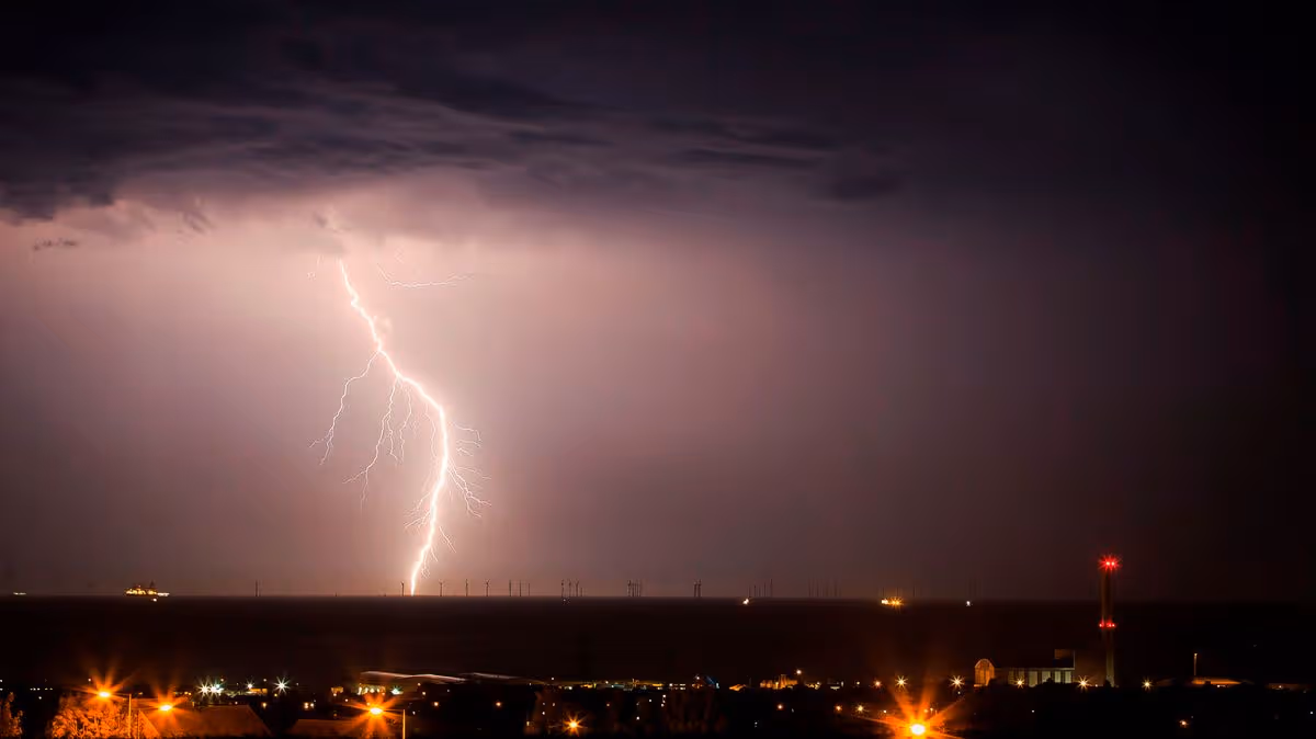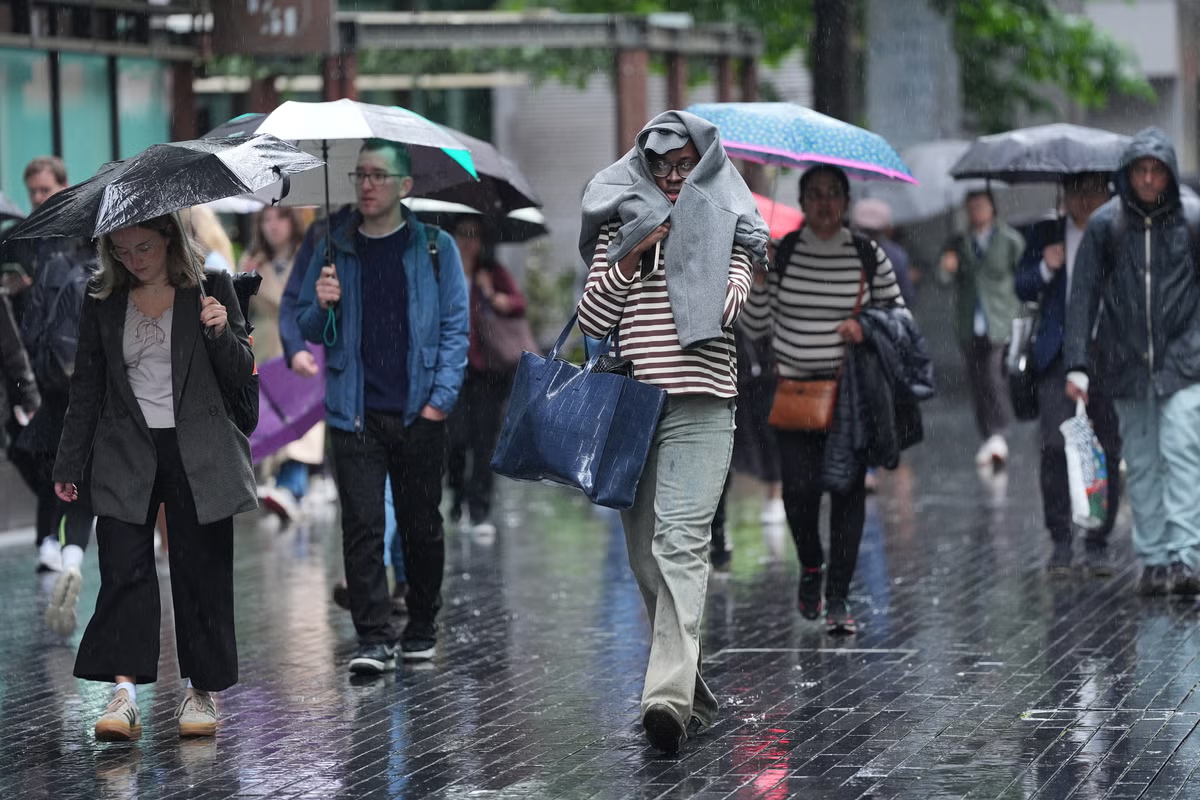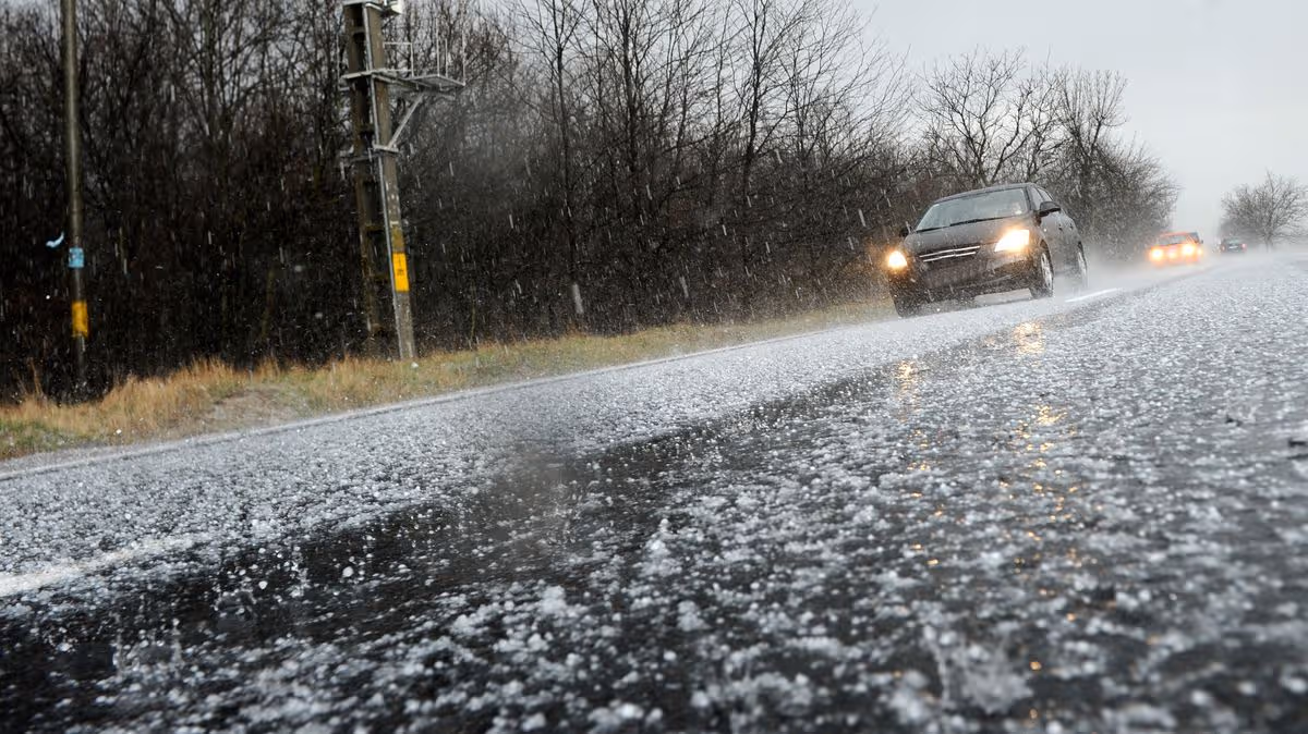
The Met Office has issued more yellow weather warnings for thunderstorms as the UK battles wild conditions brought by the heatwave10:24, 25 Jun 2026Updated 10:52, 25 Jun 2026Two more yellow weather warnings for thunderstorms have been issued, with huge hailstones on the cards for millions of Brits.The heatwave brought record-breaking temperatures on Wednesday, with forecasters warning they could rise even higher to 38C today. However, storms have also hit parts of the UK.And now two yellow warnings for thunderstorms have been issued by the Met Office for Scotland. One runs from 3pm until midnight tonight, while a much large warning covers all of Scotland on Friday. And amid the lightning and torrential rain, there could also be huge hail stones up to 4cm in diameter.The national weather agency states in the Friday warning: "Spells of heavy rain and thunderstorms initially over northwest Scotland are likely to become more widespread during Friday morning. Further thunderstorms and spells of heavy rain are possible in the afternoon before becoming confined to more northern areas of Scotland later in the day."Rainfall amounts will be highly variable but narrow corridors of 20-30 mm falling in 1 hour and potentially 30-50 mm in 3 hours is possible. Frequent lightning, large hail (2-4 cm diameter) and locally gusty winds with stronger storms."The latest alert comes with a rare red warning for extreme heat already in place. Provisional figures suggest the temperature reached 36.1C in Gosport, Hampshire, breaking the previous June record from the summer of 1976.The heatwave forecast is set to continue into Friday, and the Met Office said it is possible the figure could be “beaten again”. Wednesday’s high breaks the previous top temperature for June of 35.6C in 1976 and 1957, the forecaster said.The Met Office said that the exceptional heat will spread northwards on Thursday, “with an even hotter day ahead for some with amber and red extreme heat warnings in force”. However some places might feel slightly cooler due to a brisk breeze in the south, it said.Red warnings for extreme heat have been issued for an area from London and the south coast to Swansea, Somerset and Birmingham until late on Thursday.The forecaster warned that “significant disruption to daily life is likely”. If temperatures reach 39C, that would make it the second hottest day in the UK on record.If 38C is recorded, that is still in the top five days ever recorded and hotter than any day of the 20th century. The heatwave has led to health warnings, school closures and transport disruption.There is also a yellow warning for thunderstorms in place for southwest England which runs from 6pm today until the end of the day.The current conditions are driven by a “heat-dome” settling over western Europe that has brought extreme weather across the continent.Areas impacted by new thunderstorm warningsCentral, Tayside & FifeAngusClackmannanshireDundeeFalkirkFifePerth and KinrossStirlingGrampianAberdeenAberdeenshireMorayHighlands & Eilean SiarNa h-Eileanan SiarHighlandOrkney & ShetlandOrkney IslandsSW Scotland, Lothian BordersDumfries and GallowayEast LothianEdinburghMidlothian CouncilScottish BordersWest LothianStrathclydeArticle continues belowArgyll and ButeEast AyrshireEast DunbartonshireEast RenfrewshireGlasgowInverclydeNorth AyrshireNorth LanarkshireRenfrewshireSouth AyrshireSouth LanarkshireWest Dunbartonshire
Met Office issues new thunderstorm warning as 31 areas face 4cm-wide hail – list
The Met Office has issued more yellow weather warnings for thunderstorms as the UK battles wild conditions brought by the heatwave
502 words~2 min read