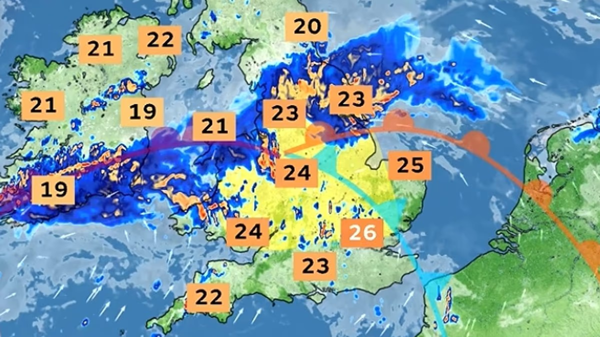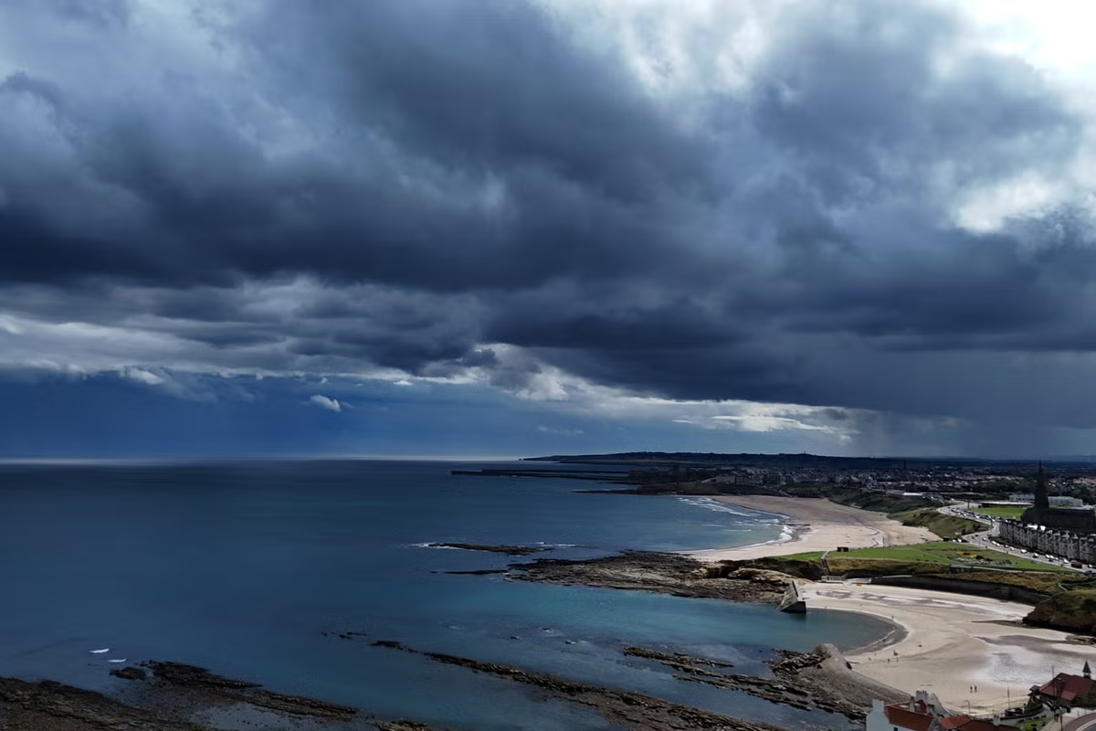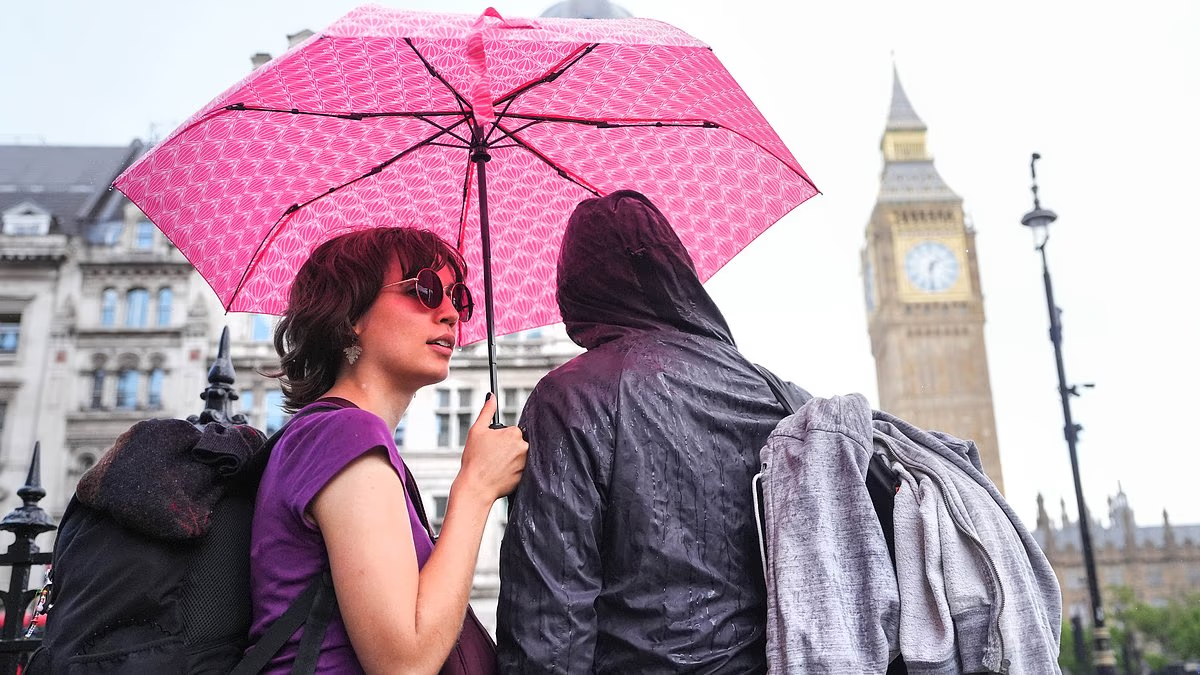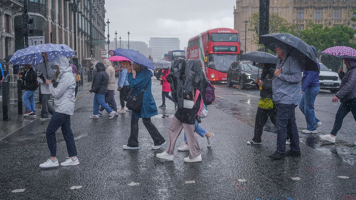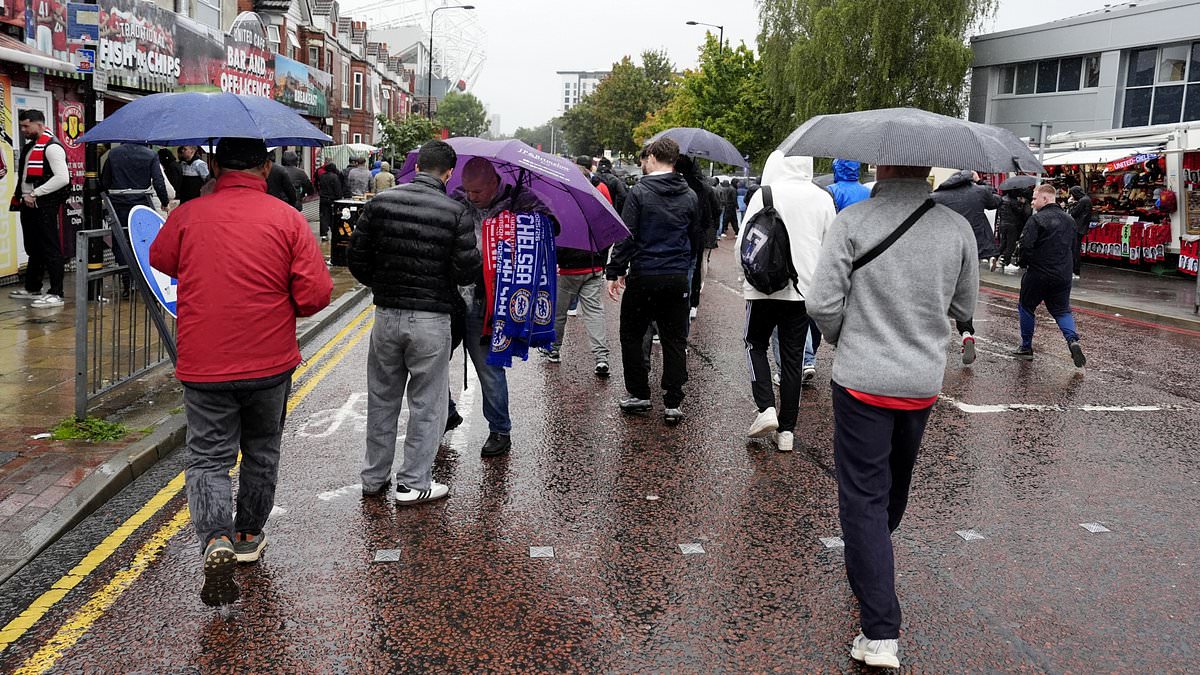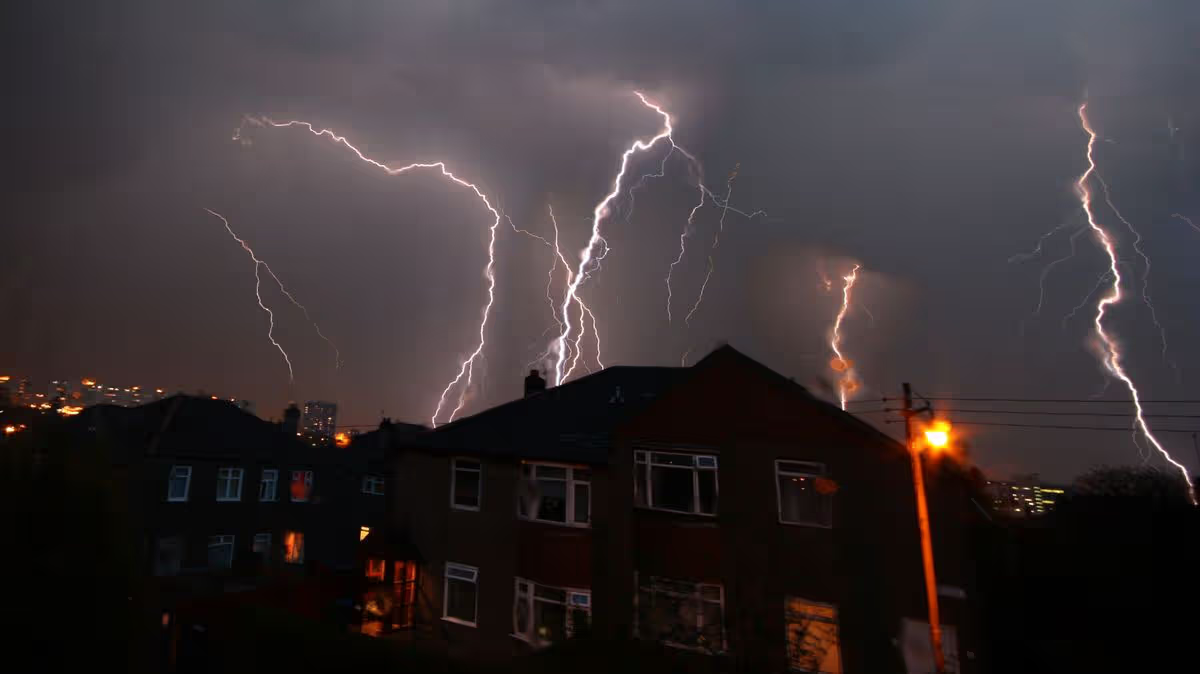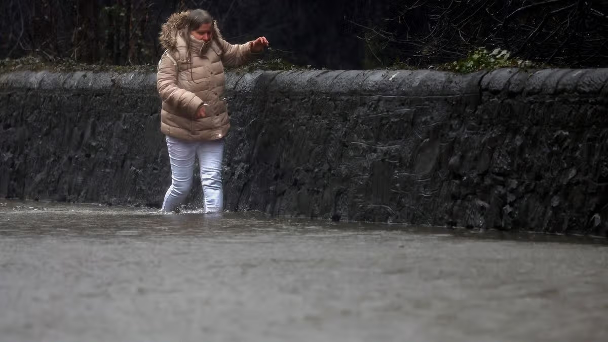
Weather maps show vast swathes of England and Wales are subject to yellow thunderstorm warnings with people in areas at risk of flooding being urged to prepare "emergency kits"19:10, 26 Aug 2026Updated 19:18, 26 Aug 2026The Environment Agency has issued 16 flood alerts as one month's rainfall is forecast to batter parts of the UK - see if your region is affected below.Weather maps show thunderstorms are set to sweep over most of Yorkshire, the Midlands, parts of East Anglia and the whole of Wales with a yellow warning in place for the regions from 6am to 10pm tomorrow. Parts of the Southeast of England, including London, will also fall under the same weather warning from 2am to 8am tomorrow.The weather conditions could lead to some disruption with some homes and businesses at risk of flooding. It comes as a similar yellow thunderstorm region remains in place for many of the same regions, including London, and missing out central and southern Wales until 10pm today.The thunderstorms are believed to dump between 20mm to 30mm of rainfall in three hours and can be expected to result in as much as 50mm in a 12-hour period in places. There is even a small chance that some areas could see more than 75mm over 12 hours, according to the Met Office.The heavy rain could trigger flooding, with people also being told to prepare an "emergency flood kit." An emergency flood kit includes non-perishable food, bottled water, a first aid kit as well as a torch, spare batteries and a fully charged mobile phone with a portable power bank.The majority of the flood alerts, issued today with the grim forecast looming, concern waterways in the Midlands. Birmingham, for instance, typically sees 68mm of rain in August, according to the Met Office, but in its alert the forecaster warned as much as 75mm could fall over the course of 12 hours.Nottingham, which also falls under the yellow thunderstorm warning, typically sees about 64mm of rain in August, though it too could see more than the monthly amount fall. Manchester, much known for its regular rain, typically sees 80mm being dumped on the city, though it too could see a similar amount fall in a single day.Flood alerts listAldingbourne and Barnham Rifes, West SussexHastings Blacklands, East SussexHollington Stream, East SussexLoughborough urban watercourses and local tributaries to the River Soar, LeicestershirePolegate and Wannock, East SussexRiver Blythe, WarwickshireRiver Cole, West MidlandsRiver Leen, Day Brook and Tottle Brook in NottinghamshireRiver Maun in NottinghamshireRiver Rea, BirminghamRiver Stour and Smestow Brook in the Black Country and South StaffordshireRiver Trent Tributaries in NottinghamshireScrase Bridge and West Common Streams, West SussexTributaries in LeicesterUpper Tame at Sandwell Valley, West MidlandsUpper Tame, elsewhere in West MidlandsThe Met Office has also warned there is a risk of lightning strikes, hail and power cuts, and people in the warning area are urged to consider preparing for the extreme weather. The Met Office added people should prepare for delays, power cuts and objects coming loose in the wind that could cause harm or damage.Article continues belowIt said: "Prepare to protect your property and people from injury. Before gusty winds arrive, check to ensure moveable objects or temporary structures are well secured. Items include: bins, garden furniture, trampolines, tents, gazebos, sheds, and fences."Give yourself the best chance of avoiding delays by checking road conditions if driving, or bus and train timetables, amending your travel plans if necessary. People cope better with power cuts when they have prepared for them in advance. It's easy to do; consider gathering torches and batteries, a mobile phone power pack and other essential items."
Forecasters name 16 flood alerts as month's rainfall to hit UK - see full list
Weather maps show vast swathes of England and Wales are subject to yellow thunderstorm warnings with people in areas at risk of flooding being urged to prepare "emergency kits"
600 words~3 min read