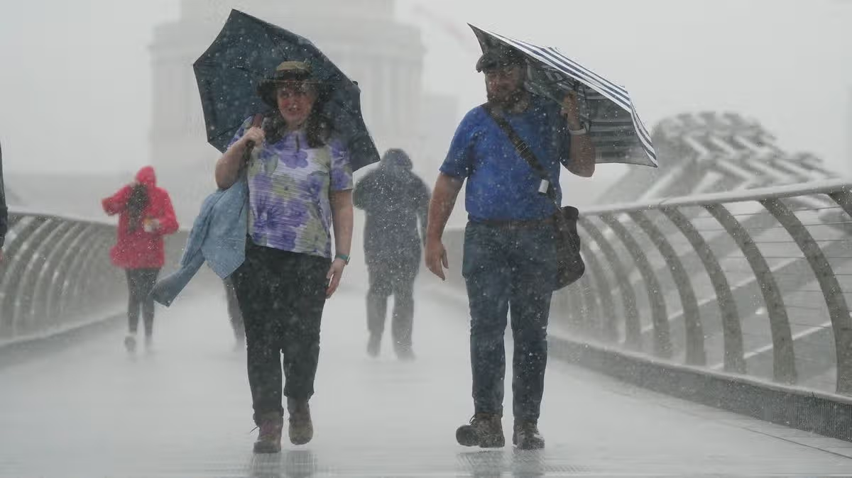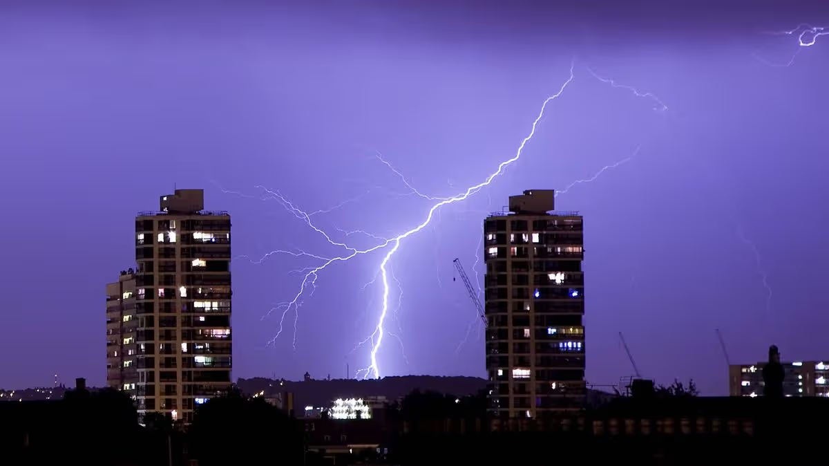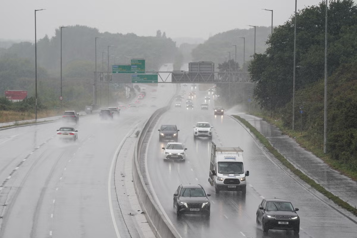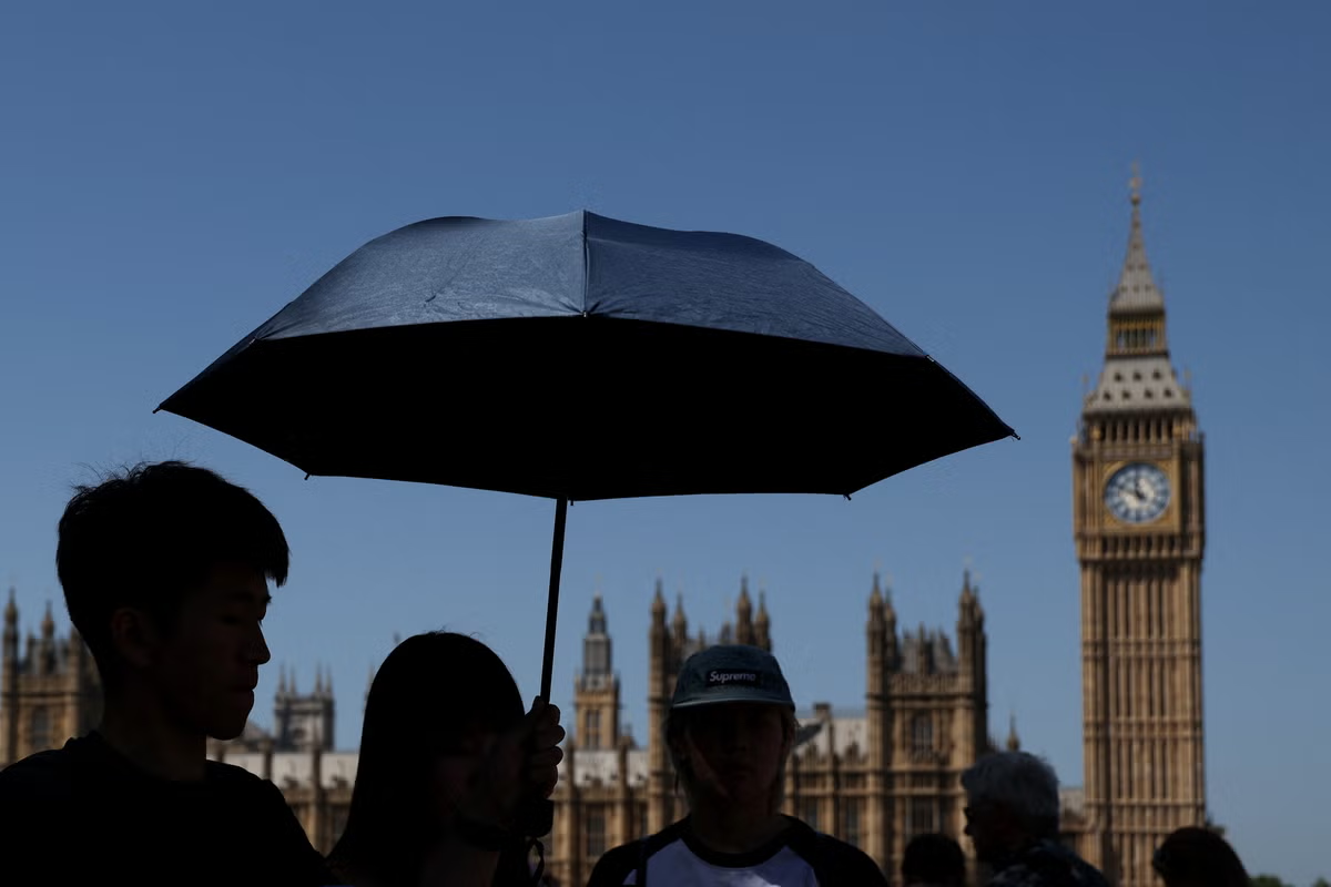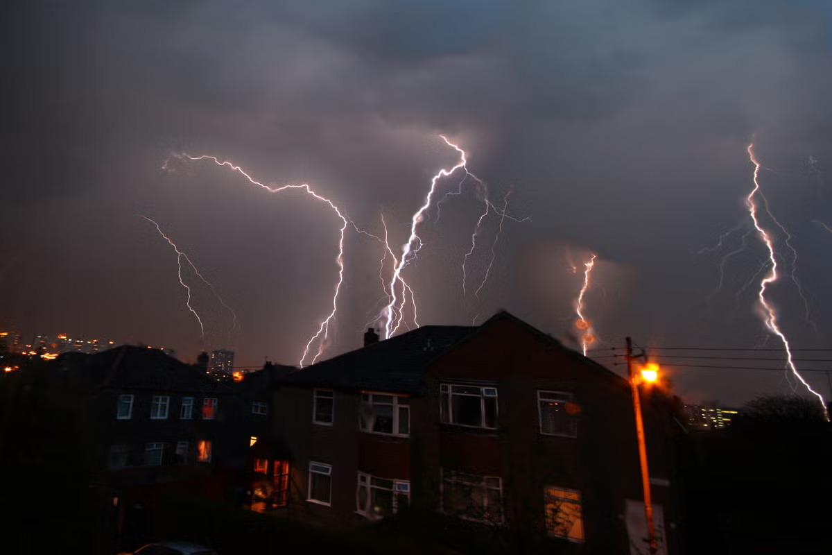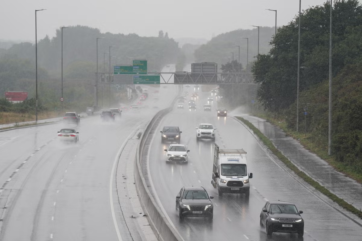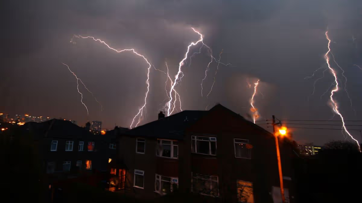
NewsUK NewsMet OfficeThe Met Office has issued a yellow weather warning for thunderstorms impacting Wales and the south-west of England from 3pm until midnight today13:29, 27 May 2026Updated 13:42, 27 May 2026The Met Office has issued another yellow weather warning for thunderstorms, impacting 38 parts of the UK.The weather warning comes as several areas still face heatwave conditions. It covers parts of Wales and the south-west of England from 3pm until midnight today.The Met Office says driving conditions will likely be impacted by standing water and hail, while delays to train services are also possible. Lightning strikes could damage buildings too, and short term losses of power are on the cards. The storms bring the potential for "torrential downpours of rain, frequent lightning, large hail and strong, gusty winds," the warning states.People who live in areas prone to flash flooding are told to consider preparing an "emergency flood kit". Brits should also consider preparing for power cuts in the impacted areas.READ MORE: Met Office weather forecast reveals when UK heatwave will finally come to an endREAD MORE: Met Office issues immediate yellow thunderstorm warning for seven UK areas"People cope better with power cuts when they have prepared for them in advance. It’s easy to do; consider gathering torches and batteries, a mobile phone power pack and other essential items," the Met Office says.Areas impacted by Met Office thunderstorm warningLondon & South East EnglandHampshireSouth West EnglandBath and North East SomersetBournemouth Christchurch and PooleBristolCornwallDevonDorsetGloucestershireNorth SomersetPlymouthSomersetSouth GloucestershireTorbayWiltshireWalesBlaenau GwentBridgendCaerphillyCardiffCarmarthenshireCeredigionConwyDenbighshireGwyneddIsle of AngleseyMerthyr TydfilMonmouthshireNeath Port TalbotNewportPembrokeshirePowysRhondda Cynon TafSwanseaTorfaenVale of GlamorganWrexhamWest MidlandsHerefordshireShropshireWorcestershireMet Office's latest weather forecastThe Met Office forecast issued this afternoon says 33C highs are on the cards in southern areas today, with 26C coming in the north. Tomorrow is expected to bring similar conditions down south and 29C highs up north.The Met Office says: "Today is seeing sunny spells for much of the UK, however it's cloudier in the northeast with bright spells developing here later. It's dry for most, but a few showers are possible across the south. It's feeling hot in the southwest, but a little fresher elsewhere.Article continues below"Tonight, scattered showers and thunderstorms are possibly moving north across England and Wales overnight. Otherwise it will be dry with clear spells, but low cloud will be returning in the northeast. It will be a cooler night than of late."Tomorrow will be mostly dry with sunny spells, but there will also be a few showers and thunderstorms possibly breaking out across England and Wales later in the day. It will feel warmer again for many."Choose Daily Mirror as a 'Preferred Source' on Google News for quick access to the news you value.Met OfficeHeatwaveWeatherWeather warningBreaking NewsStorms
Met Office issues thunderstorm warning as 38 areas told 'prepare emergency kit'
The Met Office has issued a yellow weather warning for thunderstorms impacting Wales and the south-west of England from 3pm until midnight today
441 words~2 min read