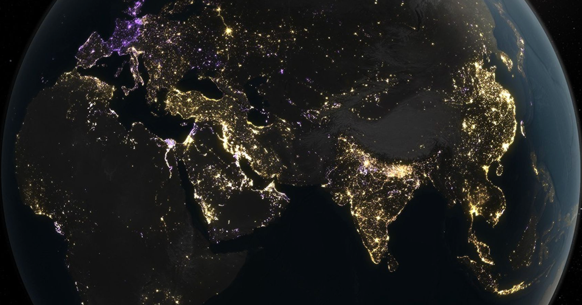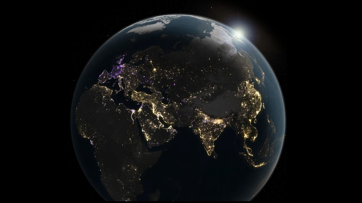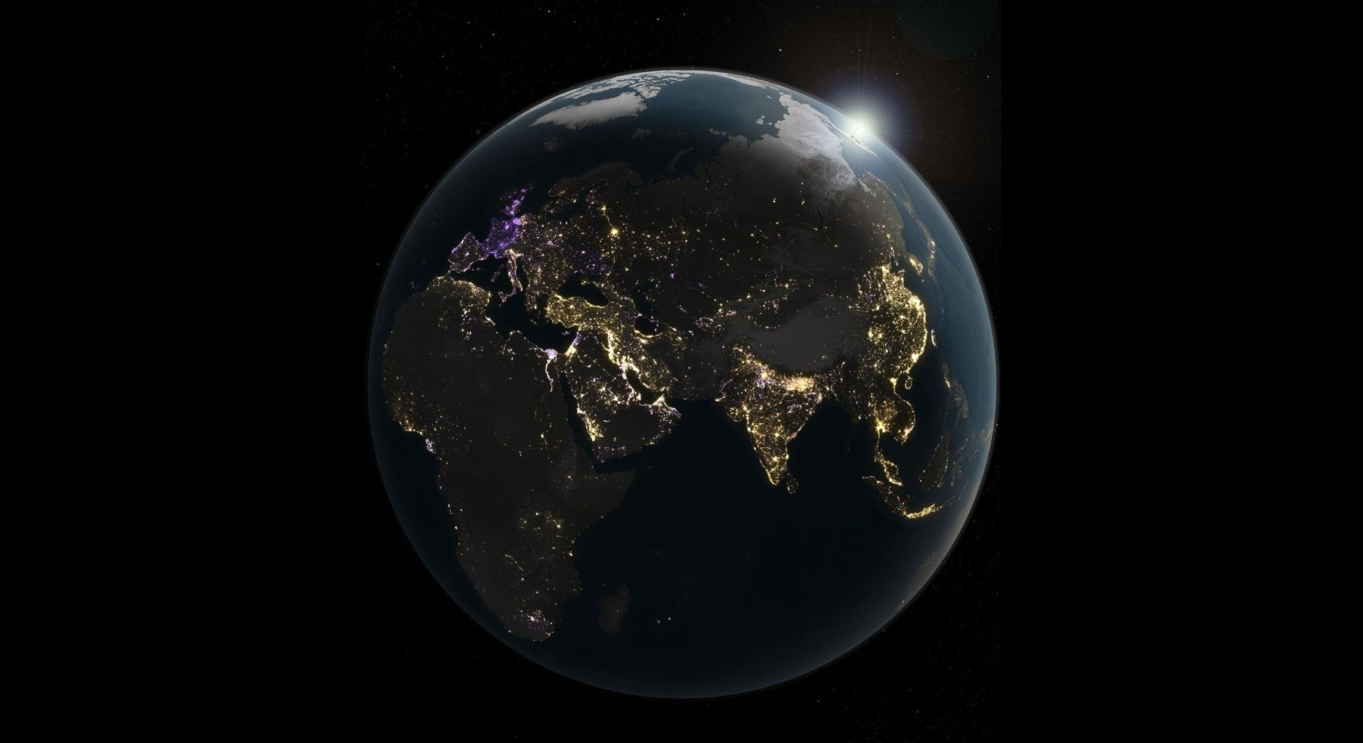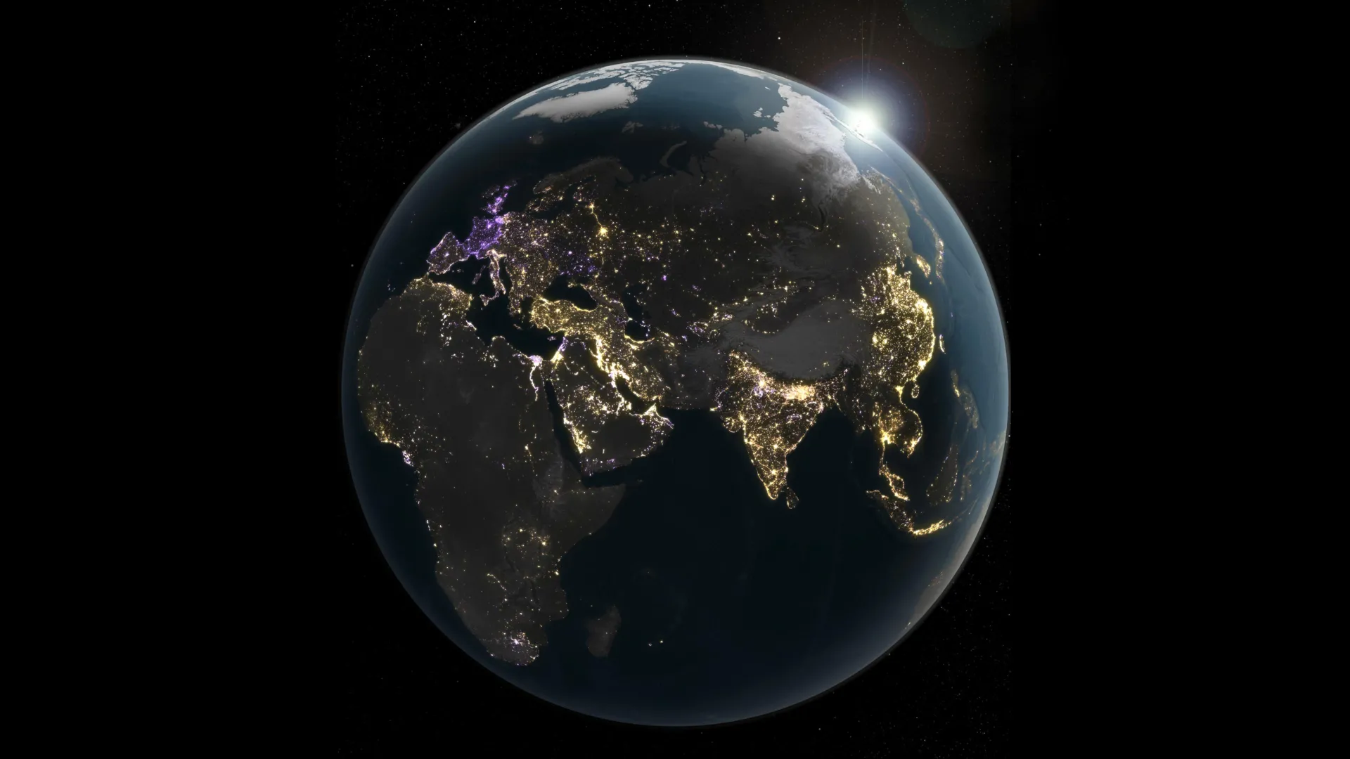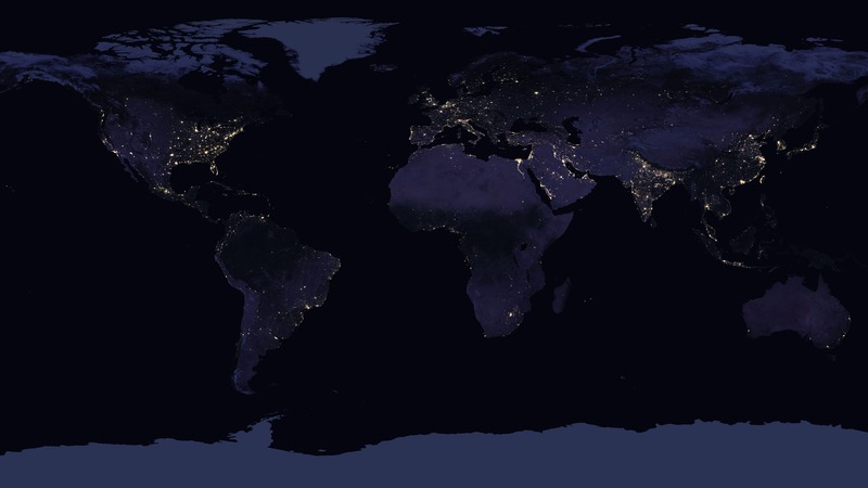
An image of Earth at night as seen from space appeared on my laptop screen during an internet search. The captivating image with a vague title—“Global Map”—drew me in like an insect mesmerized by the warm glow of a streetlamp at night.Article continues after advertisement
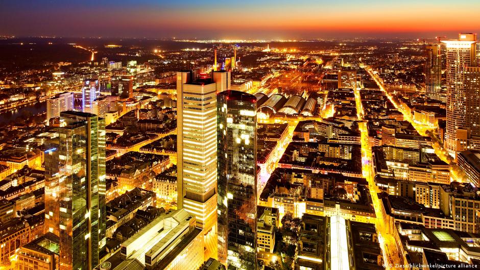
Initially, the map reminded me of flying at night under clear skies, with illuminated cities, suburbs, and roads below, often reaching toward the horizon, but it was obviously at a much bigger scale. Yet, despite the vast distance, it was still possible to identify many locales by their artificial lightprint. The bright nodes of major metropoles: Paris, Delhi, Johannesburg, Mexico City, and the dazzling sprawl of Cairo and illuminated “snake” of the Nile River. I was struck by the map’s simple yet arresting aesthetic: shades of dark blue and yellow, both contrasting and complementary.
What does it mean, I wondered, to observe and visualize Earth only by day, given that daytime is half of the planet’s time and place? This map showed there is another half to the story: night, frequently forgotten or ignored because of what I now call an implicit daytime bias.
Night is defined by the absence of sunlight, yet the map revealed a nocturnal world that was not entirely dark. Sure, large swaths of terrestrial Earth were still the deepest shades of navy blue, indicating some illumination by the moon but little artificial light. But part of what made the map so remarkable, even stunning, was the extent and intensity of illumination—so much artificial light that it was visible from space.