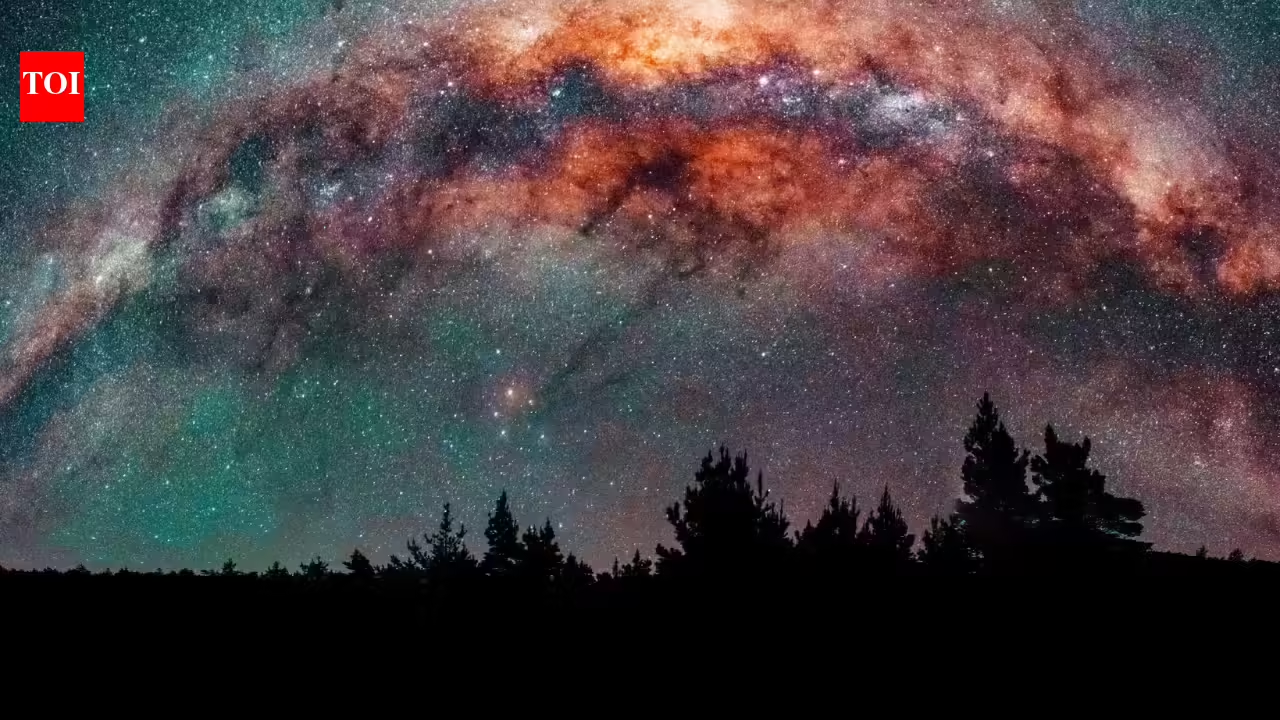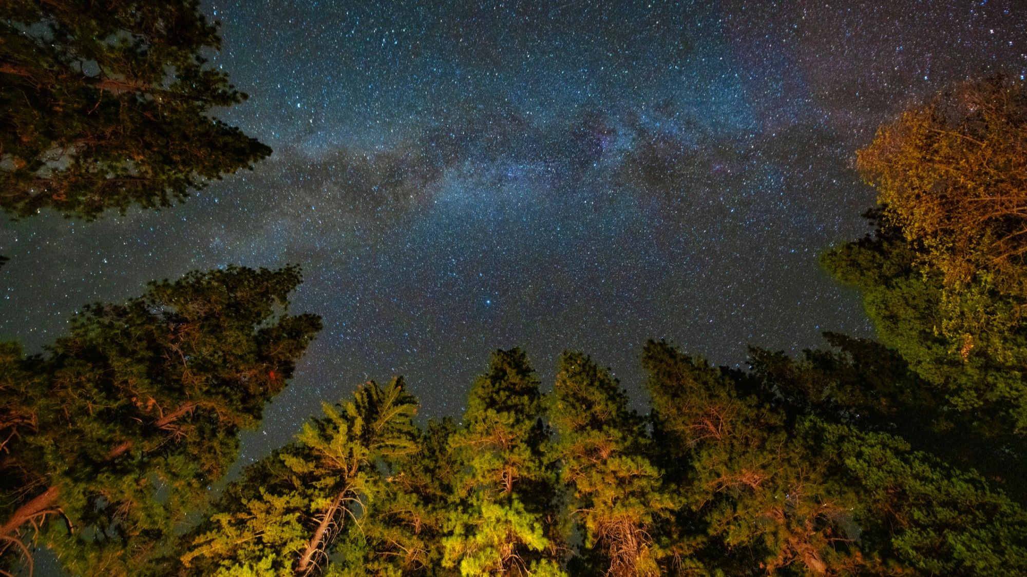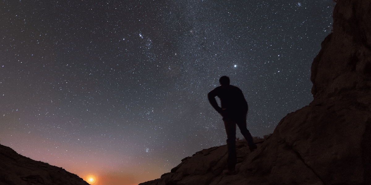
If you've ever tried to plan a stargazing trip, you know the biggest obstacle usually isn't the weather — it's finding a spot dark enough to actually see the stars.
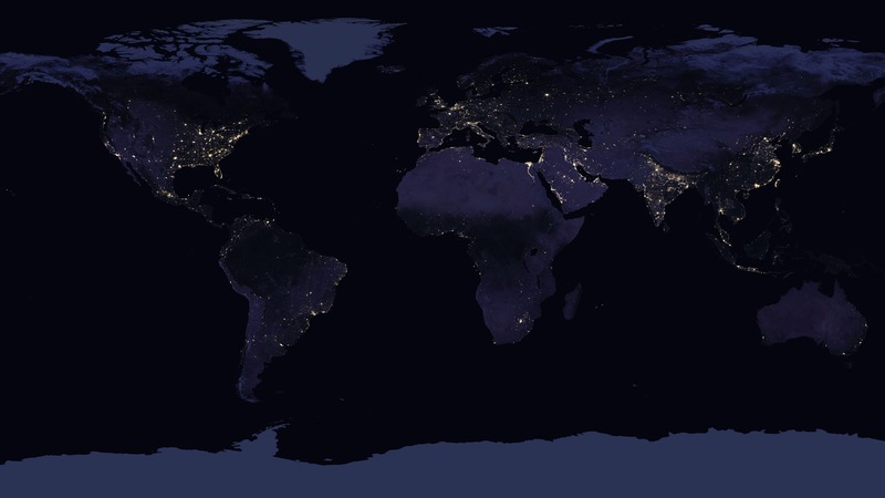
I've been using Light Pollution Map to solve this. It's a free, interactive map that overlays light pollution data (VIIRS/Bortle-scale style data) on top of a regular map, so you can visually scan for the darkest nearby areas instead of guessing.
A few things I find useful about it:
Zoom into your region and see light pollution levels as a color-coded overlay, from bright urban cores down to pristine dark-sky sites.
Search by location to quickly check how dark the sky is near a specific address, park, or campsite.