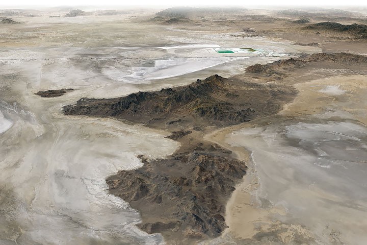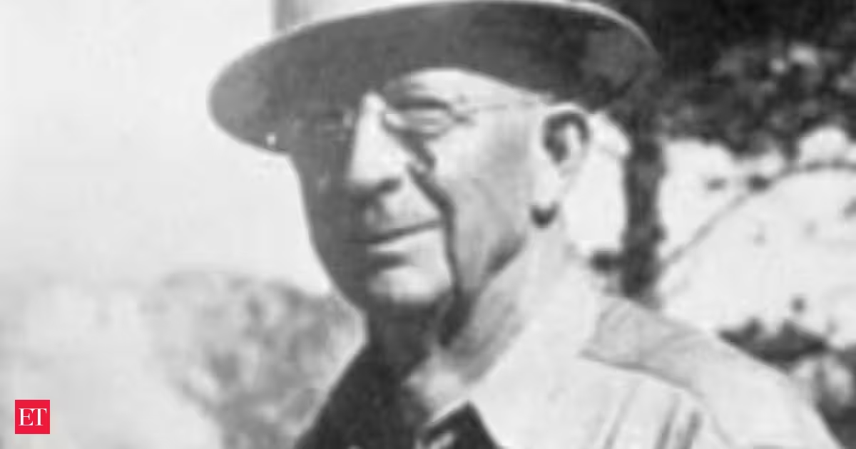
In 1923, geologist J. Harlen Bretz proposed an explanation for one of the strangest landscapes in the Pacific Northwest: enormous floods during the last Ice Age had carved much of eastern Washington.His idea challenged the prevailing view of how landscapes were formed. Bretz argued that the unusual channels, dry waterfalls and exposed basalt of the region's Channeled Scablands could not have been produced by ordinary rivers slowly eroding the land. Instead, he believed they were the result of an enormous flood.The landscape that didn't make senseThe Channeled Scablands contain a network of huge channels, coulees, cataracts, gravel bars and exposed bedrock across eastern Washington.Bretz had studied the region in the early 1920s and became convinced that water had once moved through it on a scale that seemed almost impossible.In his 1923 work, he described the landscape as evidence of powerful, glacier-born floods. He later argued that only an extraordinary flood could explain how the region had been carved.You Might Also Like:Scientists rejected his flood theoryBretz's proposal faced fierce opposition.The biggest problem was not necessarily the evidence in the landscape. It was the question of where enough water could have come from to produce such a massive flood.At the time, Bretz did not have a convincing answer.His critics instead tried to explain the Scablands through slower geological processes. The debate continued for decades, becoming one of the better-known disputes in the history of geology.You Might Also Like:The missing water was eventually foundThe crucial clue was Glacial Lake Missoula.During the Ice Age, an enormous lake formed in what is now western Montana and northern Idaho when an ice sheet blocked the Clark Fork River. When the ice dam failed, huge volumes of water escaped across the landscape.Later geological research established that these floods repeatedly swept across eastern Washington, carving the Channeled Scablands and continuing toward the Columbia River.The evidence eventually showed that Bretz had been broadly correct about the catastrophic flood origin, although scientists later established that the region had experienced repeated floods, rather than a single event.You Might Also Like:Evidence began piling upOver the following decades, researchers found increasingly strong evidence for the floods.Geologists identified enormous gravel and boulder bars, deeply carved channels and other features that pointed to water moving through the region at extraordinary depths and speeds. Bretz himself continued publishing research on the floods and their connection to Glacial Lake Missoula.By the late 1960s, Bretz was documenting evidence for repeated catastrophic outbursts from Glacial Lake Missoula and their role in reshaping the Channeled Scablands.Images from above offered another perspectiveThe development of satellite imagery in the 1970s provided another way to view the enormous landscape Bretz had studied from the ground.Satellite images helped researchers see the scale and interconnected nature of the channels across eastern Washington. Later accounts describe the imagery and advances in flood research as further vindication of Bretz's ideas.NASA continues to use satellite data to map the Channeled Scablands. Modern imagery shows the dark channels where ancient floods stripped away soil and exposed the underlying volcanic basalt.At 96, Bretz finally received geology's highest honorBretz lived long enough to see the scientific consensus shift.In 1979, when he was 96, the Geological Society of America awarded him the Penrose Medal, its highest honor, recognizing his contribution to understanding the geology of the region.After decades of defending an idea that had once been dismissed, Bretz had finally received official recognition from the geological establishment.His response became part of the storyBretz's response to the recognition was as memorable as the scientific controversy itself.Reportedly, after getting the award, he told his son: “All my enemies are dead, so I have no one to gloat over.”The geologist who had spent decades arguing that an enormous flood had reshaped eastern Washington had finally outlived the controversy.You Might Also Like:Today, the Channeled Scablands stand as a vast geological record of the Ice Age megafloods that repeatedly swept across the Pacific Northwest — and of the theory Bretz spent much of his career defending.
In 1923, a geologist said a sudden, catastrophic Ice Age flood carved Washington's landscape. Scientists rejected him for decades. At 96, he received geology's highest honor
J. Harlen Bretz, a pioneering geologist, introduced a groundbreaking theory about the Ice Age floods sculpting eastern Washington's terrain. Initially met with fierce criticism due to questions surrounding the water's origin, significant research surrounding Glacial Lake Missoula ultimately illuminated the evidence for these monumental floods. Enhanced satellite imagery further validated the sheer size and intricate layout of the resulting channels.
659 words~3 min read