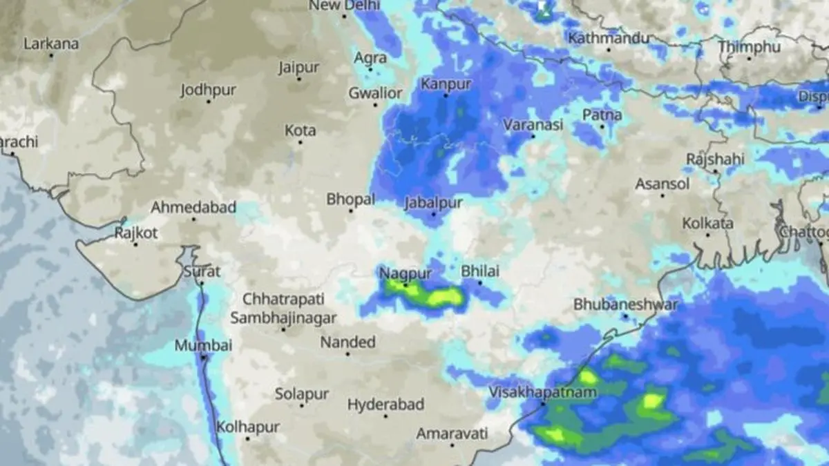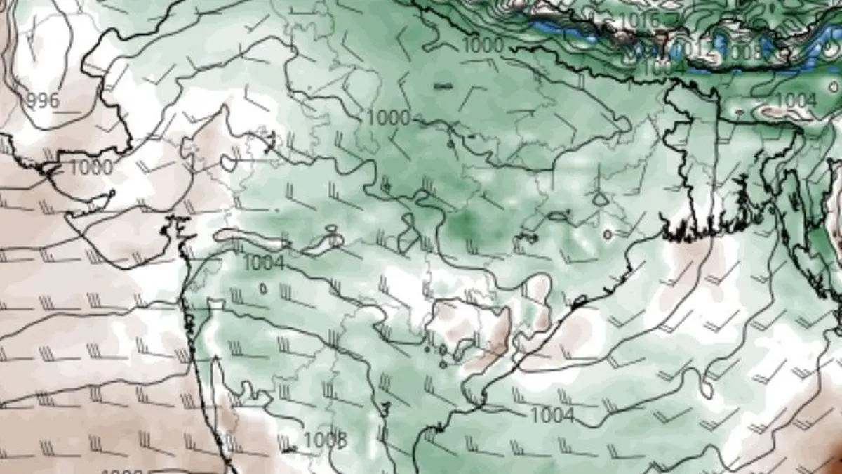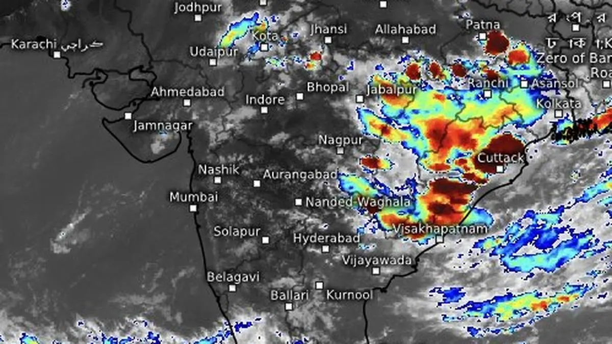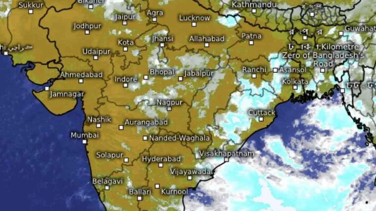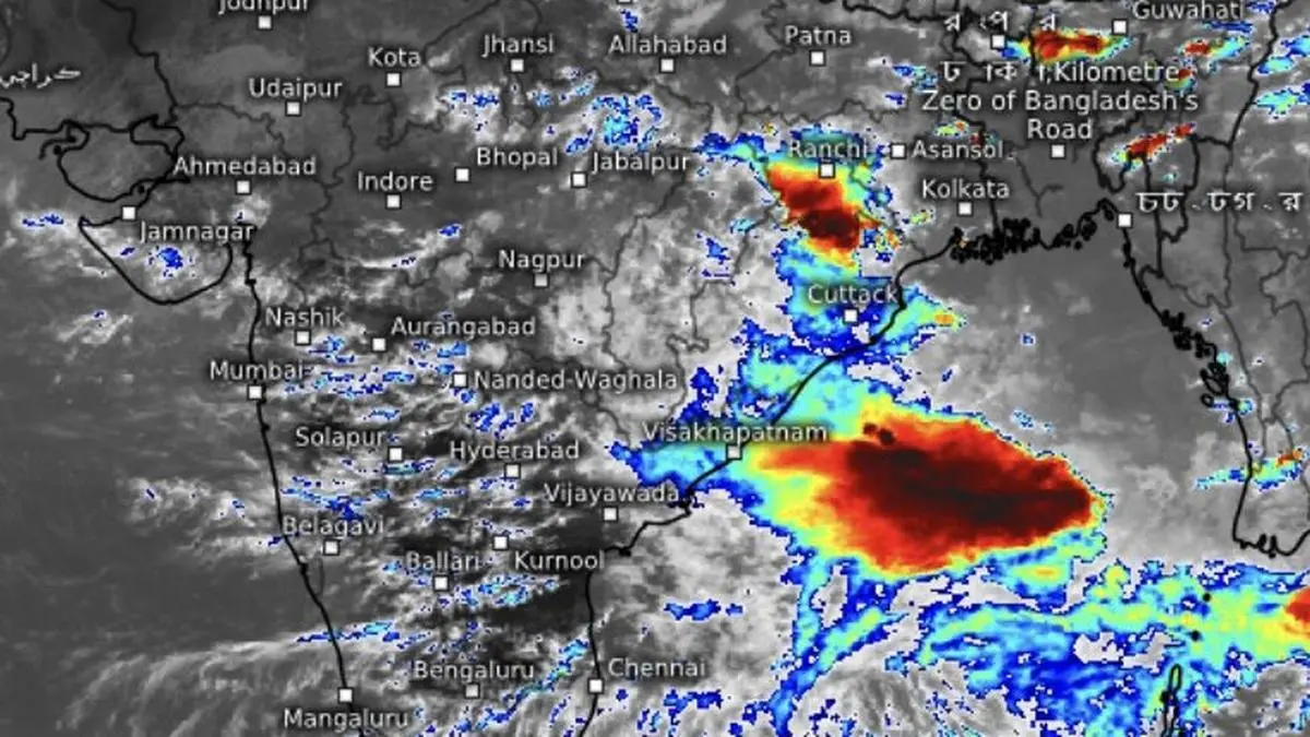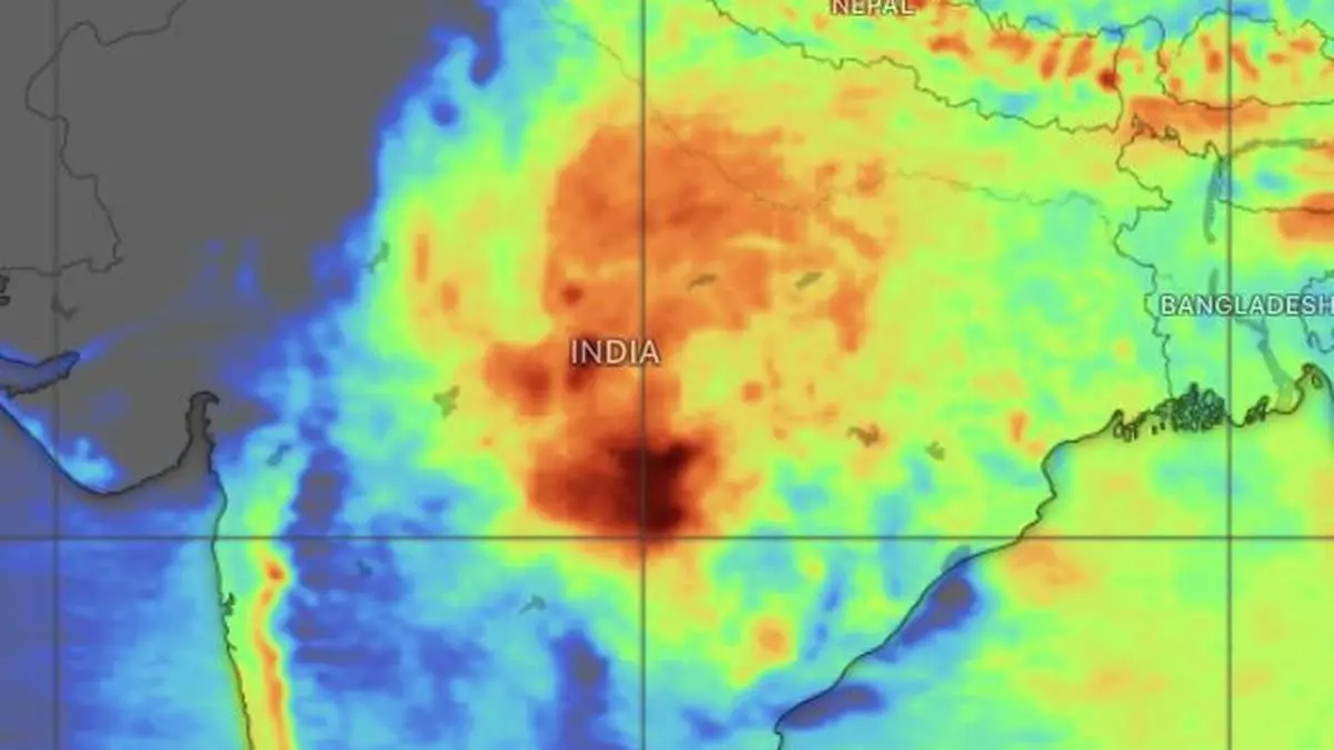
Monsoon gains could accrue for the west coast, and gradually westward across the north towards West Madhya Pradesh by the weekend, as more helpful circulations form over the Bay of Bengal.
| Photo Credit:
www.windy.com
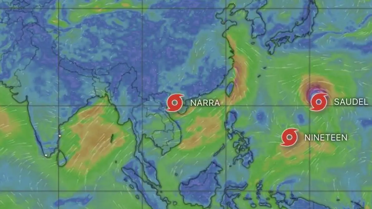
The Bay of Bengal is beginning to look like a busy monsoon assembly line, with one rain-bearing low-pressure system after another lining up to keep the basin active well into early September.Warm sea-surface temperatures across the north and central Bay are providing ample fuel. Some systems are forming in situ, while others are arriving as remnants of storms that have crossed the West Pacific and South China Sea. The result is a restless Bay, churning out weather systems with little sign of a slowdown.Warm Arabian SeaThe southern Arabian Sea and adjoining northern equatorial Indian Ocean have warmed in tandem. That has helped sustain moisture-laden westerly to south-westerly winds across the west coast, feeding into the prevailing low-pressure area over West Bengal and adjoining Jharkhand and north Odisha. The payoff has been a sharp burst of rain along the coast from Mangaluru to Thiruvananthapuram, dampening Onam festivities.Elsewhere, till Monday morning, heavy to very heavy rain lashed parts of Odisha; West Madhya Pradesh; and Chhattisgarh. Heavy rain was also reported across Assam and Meghalaya and other parts of the North-East India; Jharkhand; Bihar; Uttar Pradesh; Haryana-Chandigarh-Delhi; Himachal Pradesh; East Rajasthan; East Madhya Pradesh; Vidarbha; Telangana; Tamil Nadu, Puducherry and Karaikal; Karnataka; and Kerala.More rain in storeMore rain is in store for these areas over the next few days. Forecast models suggest that the rainfall footprint over East and North-East India could gradually push westward, bringing central and west Madhya Pradesh and parts of northern Maharashtra, including the Nagpur region, into the developing wet spell. That westward expansion could become one of the more important features of the next phase of the monsoon. More helpful circulations systems are expected to form over the Bay and move across eastern and Central India, potentially spreading rainfall well beyond their initial zones of influence.Striking disconnectYet there is a striking disconnect between what the weather charts promise and what the rain gauges are recording. The Bay’s conveyor belt is moving and systems are forming. But in the very regions that normally benefit first from Bay-born disturbances, the rain has so far failed to keep pace. Deficits across East and North-East India continue to deepen, raising the question of whether an active monsoon pattern is actually delivering enough rain where it is most needed.Rain deficit scenarioAs of Sunday, the rainfall deficit over East and Northeast India had widened to 27 per cent, while South Peninsula was running 23 per cent below normal. North-West India was at 11 per cent below normal, and Central India at 3 per cent below normal, both still within the India Meteorological Department’s (IMD) broad normal range, though weaker than their recent performance .For the country as a whole, the deficit stood at 14 per cent. September is the final month of the monsoon and now represents the remaining window for any substantial recovery in the national rainfall ledger.Meaningful rain amissThe latest numerical weather-model outlook from the IMD suggests moisture-rich circulations will remain in command at least until September 3. In other words, the immediate weather pattern is not running out of steam. If anything, the atmosphere appears ready to keep producing systems. The bigger question is whether those systems can convert atmospheric activity into meaningful rainfall.That matters especially over the Himalayan foothills and adjoining plains, where the seasonal demand for rain remains substantial and the monsoon’s remaining runway is rapidly shrinking. A procession of ‘low’s may keep the Bay humming, but unless their moisture is efficiently transported inland and released over rainfall-deficient regions, the spectacle could amount to little more than a busy weather map. Published on August 24, 2026