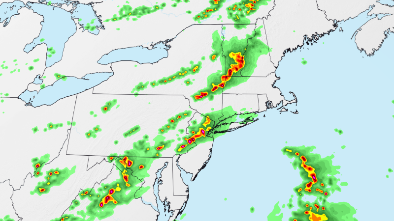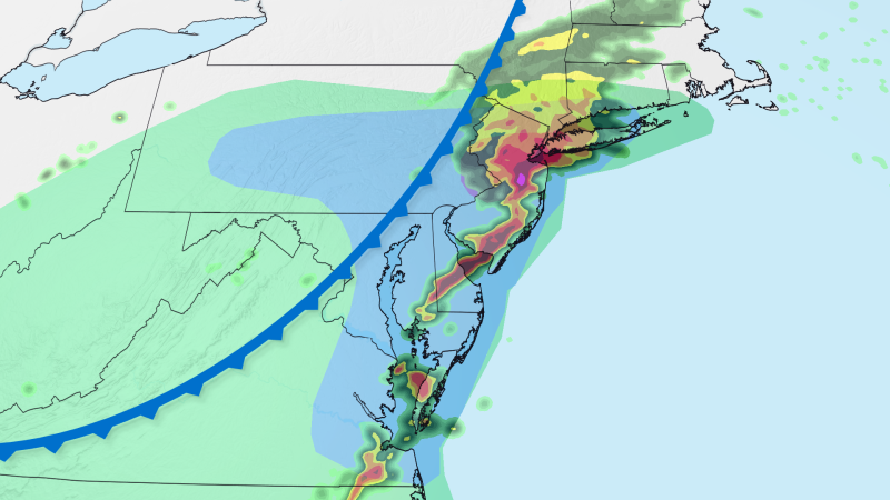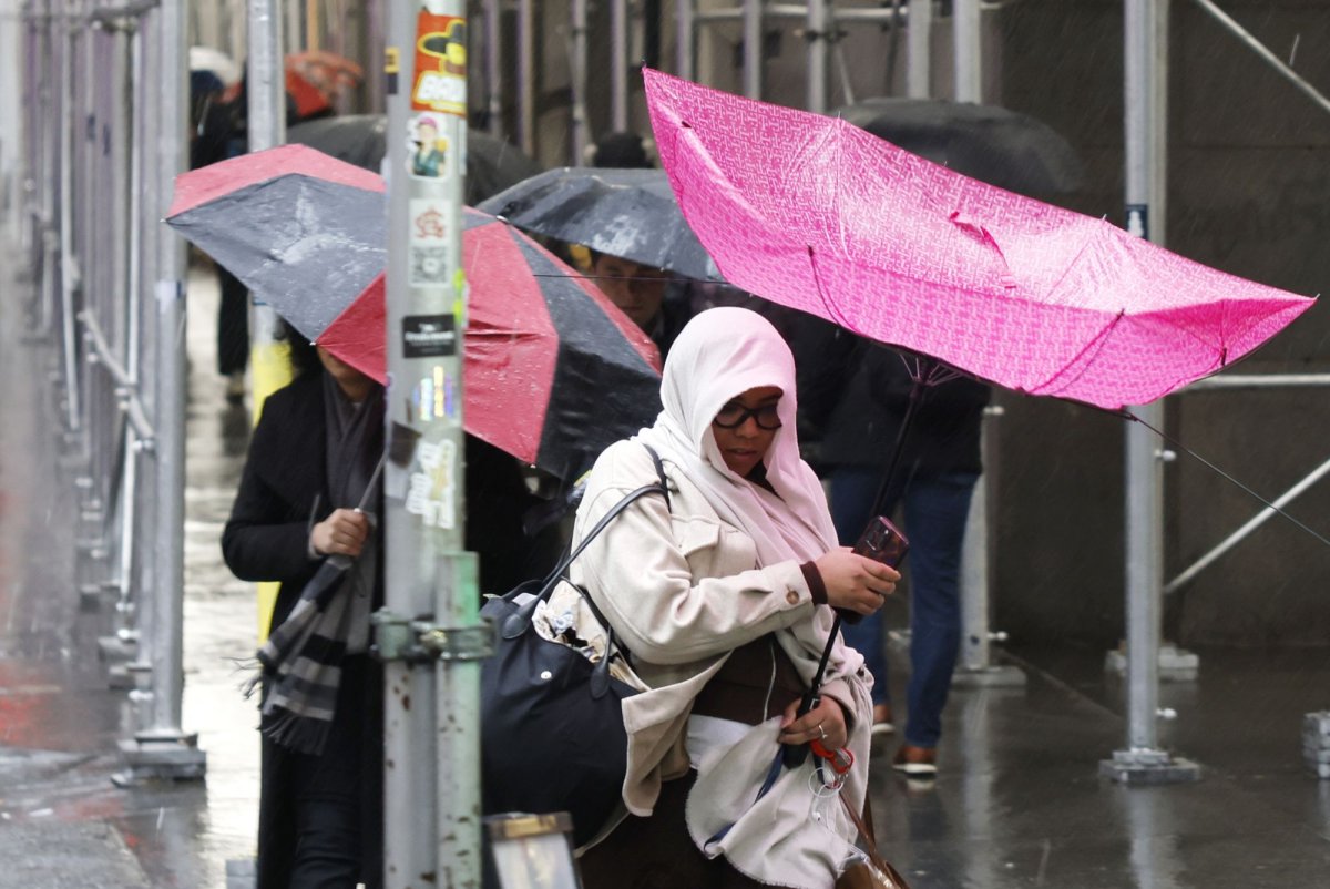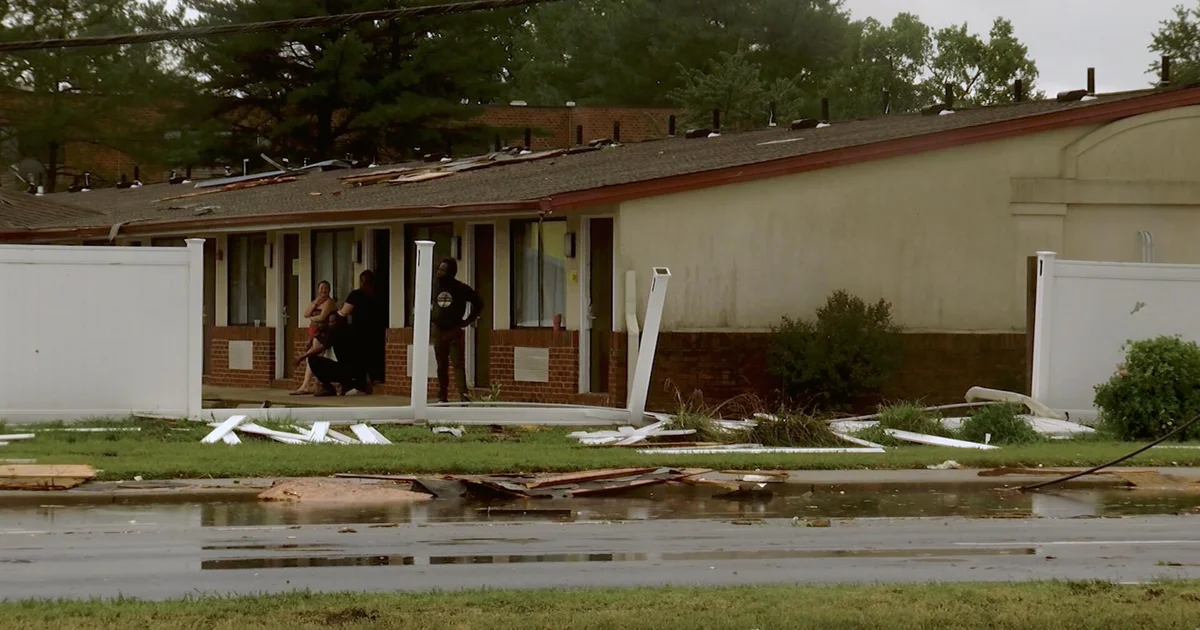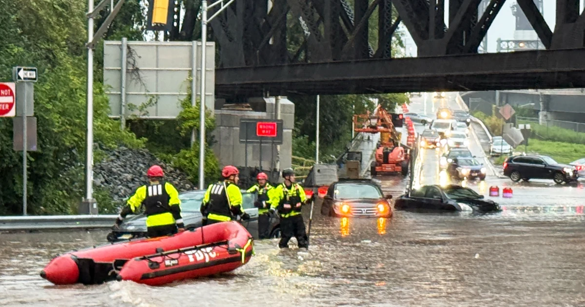
The East Coast faces a sprawling flood threat that will shift through the weekend after deadly thunderstorms spawned at least two tornadoes and triggered widespread flash flooding along much of the Northeast and Mid-Atlantic portions of the Interstate 95 corridor Thursday evening, according to Fox.Level 2 out of 4 flash flood risk is in place for the Mid-Atlantic today, including Baltimore, Washington D.C., and PhiladelphiaDownpours could cause crippling airport delays at major hubsThe wet weather will stick around on Sunday across the I-95 CorridorTorrential downpours and travel headaches will slam the Northeast and Mid-Atlantic today, placing Philadelphia, Baltimore and Washington, D.C. in the bull's-eye and under a Level 2 out of 4 flood risk as storms stall following this week's rare tornadoes.Ground already soaked by up to 7 inches of rain this week could quickly take on another 1 to 2 inches, triggering flash flooding.If you have travel plans this weekend at major East Coast airport hubs, prepare for delays and potential cancelations caused by heavy rain and low visibility.Swinging farther inland, severe thunderstorms threaten western New York, Pennsylvania, Ohio, West Virginia, and Virginia with damaging wind gusts up to 60 mph, small hail, and blinding rain.Pockets of wet weather will also sweep from New Jersey through the Tri-State area, Providence, and Boston, threatening your outdoor Saturday plans.More storms come just days after Thursday's deadly storms during the height of the evening commute and halted air travel at major East Coast airports.A Colorado man was struck and killed by lightning in Cape Charles, Virginia, just after 3:30 p.m., according to town officials. A woman was hospitalized in the same incident.Dover, Delaware, took a direct hit from an EF-1 tornado just before 6:30 p.m. that damaged buildings and knocked out power from downtown and central Dover east toward the North DuPont Highway corridor.The National Weather Service (NWS) confirmed that a tornado hit the City of Long Beach on Thursday evening. A local beach club in the village of Atlantic Beach said the twister destroyed numerous buildings and cabanas.More wet weather lingers into SundayThe stormy pattern lingers through the rest of the weekend across the Northeast and lower Great Lakes.A Level 1 out of 5 severe weather threat covers New York City, Philadelphia, Hartford, Albany, and Boston, bringing a risk of high winds and hail.It isn't bad news for everyone, however—areas south of Philadelphia will dry out, clearing the way for favorable race weather at the IndyCar Freedom 250 Grand Prix in D.C.
NYC weather takes a turn: What New Yorkers can expect this week
Torrential downpours and travel headaches will slam the Northeast and Mid-Atlantic today. Ground already soaked could quickly take on more rain, triggering flash flooding. Severe thunderstorms threaten western areas with damaging wind gusts and hail. Wet weather will stick around on Sunday across the I-95 Corridor. Areas south of Philadelphia will dry out, clearing the way for favorable race weather.
411 words~2 min read