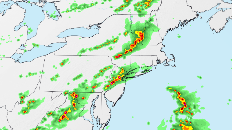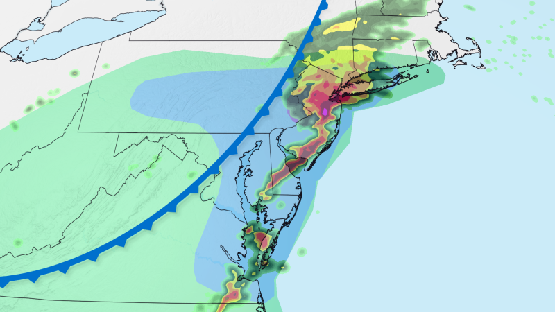
Rounds of storms are raising the risk of flash flooding in already-soaked parts of the Northeast and Mid-Atlantic on Thursday.
Flash flooding has been a recurring presence in these regions over the summer: Storms with torrential rain flooded roadways in New York City and New Jersey as recently as last Thursday while also disrupting air travel in the busy corridor.
More of the same is possible into early Friday morning with multiple rounds of storms to come — some of which could be severe with damaging wind gusts and perhaps a tornado.
A first batch of showers and thunderstorms impacted parts of northern New Jersey and southern New York Thursday morning as other small pockets of storms started to develop farther west toward the Appalachians.
A new, more organized round of storms will develop Thursday afternoon as a cold front moves from the Ohio Valley into the Northeast. This round has the greatest chance to become severe, especially from the mid-afternoon through the evening.