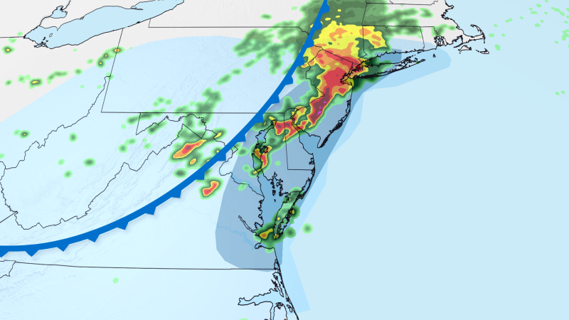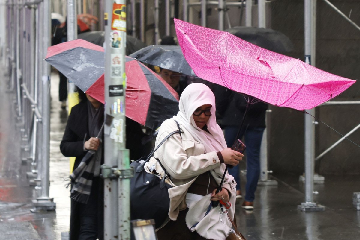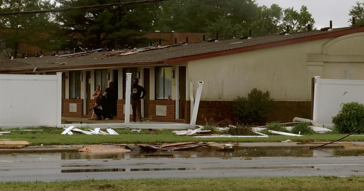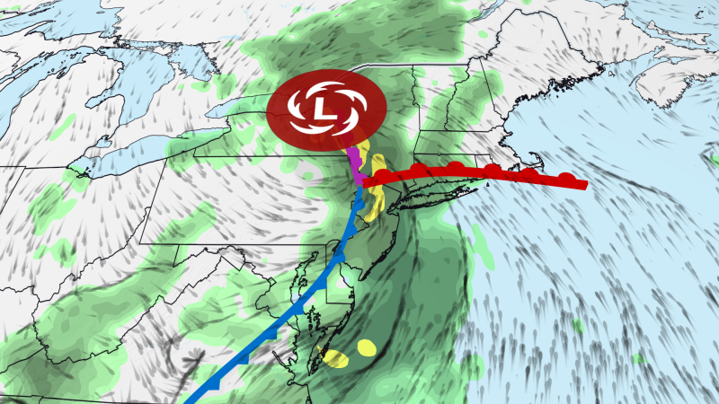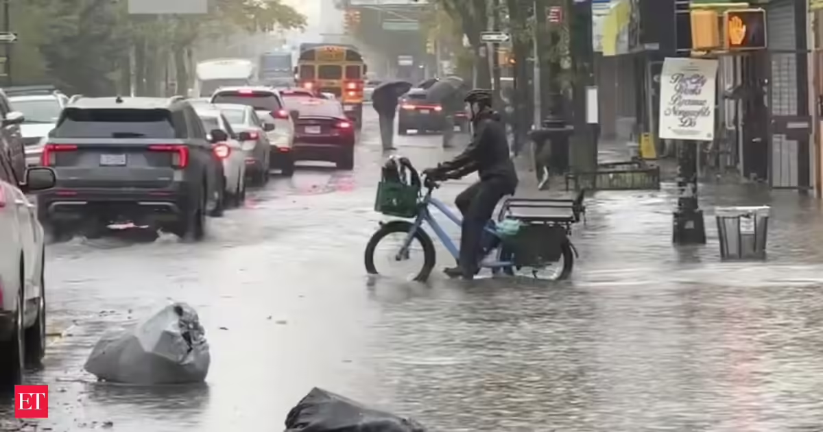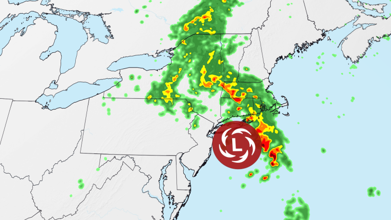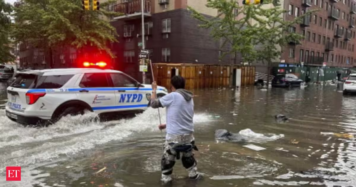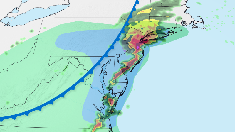
Drenching storms sweeping through the East Coast on Thursday could unleash significant flash flooding, damaging wind gusts and a tornado or two.
The flooding rainfall risk level was increased from a Level 2 to a Level 3 of 4 in New York City, parts of New Jersey and eastern Pennsylvania, including Philadelphia, on Thursday afternoon. This is where “numerous instances of flash flooding are likely,” the Weather Prediction Center said.
All told, more than 25 million people are in flood watches along the Interstate 95 corridor in the Northeast; they stretch as far north as southwest Connecticut to as far south as northern Delaware.
Evening commuters in these areas could encounter serious disruptions with storms expected to fire up in the late afternoon and last through the evening hours.
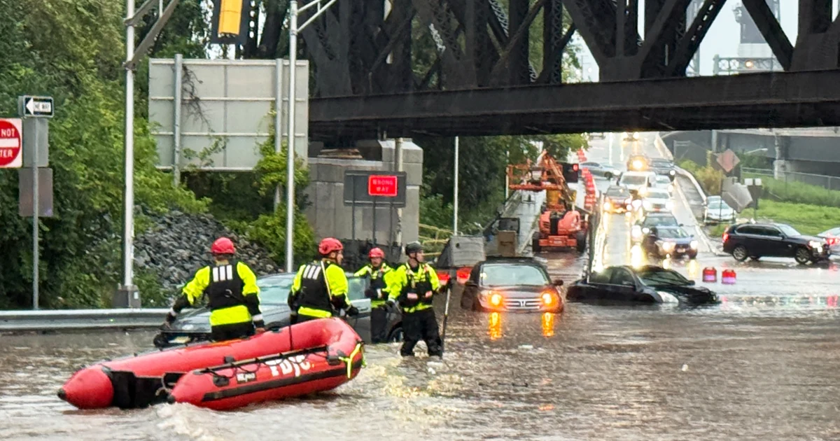
The storms will be generated by a cold front that already caused flash flooding in central Ohio early Thursday morning. Multiple water rescues and road closures were reported near Columbus, Ohio, according to CNN affiliate WBNS.