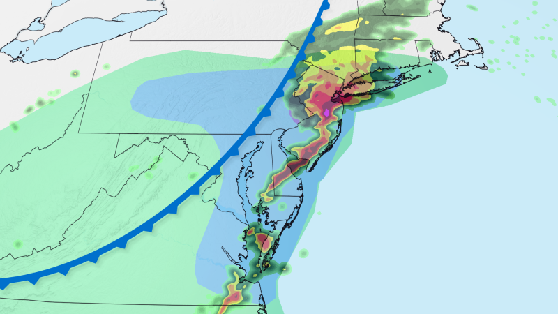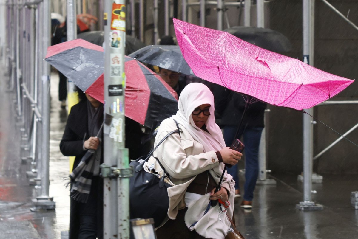
Pedestrians carry umbrellas in windy rainy conditions near the New York Stock Exchange on Wall Street inDecember. Dozens of major metro areas could be affected by flash flooding in the eastern quarter of the nation into this weekend, with the zone from Washington to New York City at a heightened risk. File Photo by John Angelillo/UPI | License Photo
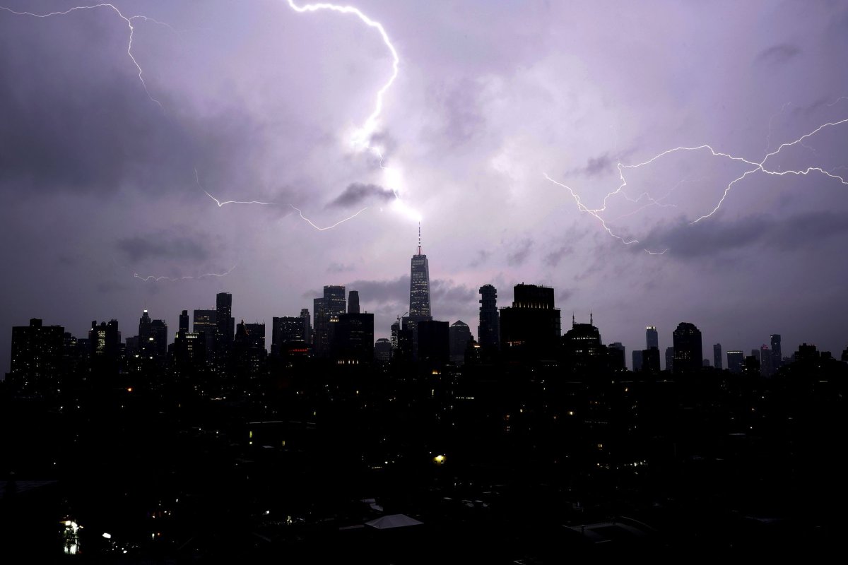
Thunderstorms will cause problems through this weekend in the central and eastern United States, including through the Interstate corridor, but torrential downpours and flash flooding may have a more far-reaching impact along the Atlantic Seaboard as cooler air slowly expands from the Upper Midwest.
Some thunderstorms will become severe from the Plains to the Eastern states in the coming days, and thunderstorms in any of these zones can produce flooding downpours.
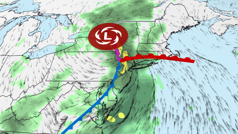
However, there is an area centered on the mid-Atlantic states where multiple rounds of rainfall could occur into Sunday. AccuWeather meteorologists have highlighted a zone at higher risk into Thursday night.
As a jet stream dip expands, disturbances in the jet stream are expected to support thunderstorm development and torrential downpours. These areas of downpours will move slowly and be capable of producing a couple of inches of rain in as little as an hour.