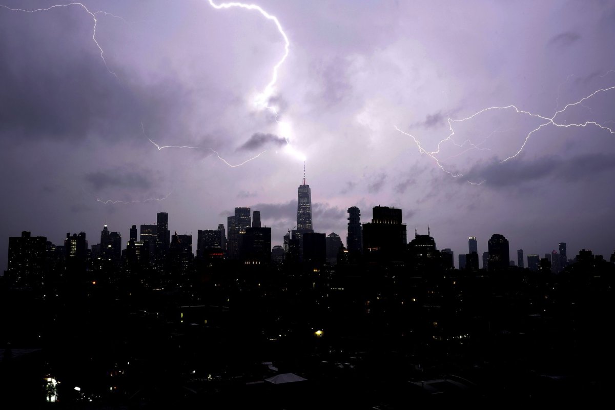
New York City could see some rain through Monday night, forecasters said. File Photo by John Angelillo/UPI | License Photo
An active June pattern that has repeatedly unleashed severe thunderstorms and flooding across the central and eastern United States will continue through the upcoming week, keeping millions on alert for damaging weather from the Plains to the Atlantic coast.
The persistent storm track has already produced numerous episodes of severe weather and flash flooding this month, and little change is expected in the overall setup.
Following a barrage of severe weather reports spanning from Wyoming to northeastern Colorado and across much of Kansas on Saturday, the same storm responsible for the weekend's turbulent weather will shift into the Midwest on Sunday.
Communities from Oklahoma City to St. Louis, many of which have already dealt with multiple rounds of thunderstorms and localized flooding in recent weeks, will face another threat of severe weather and heavy rainfall. Damaging wind gusts, large hail, flooding downpours and a few tornadoes will be the primary concerns through Sunday night.