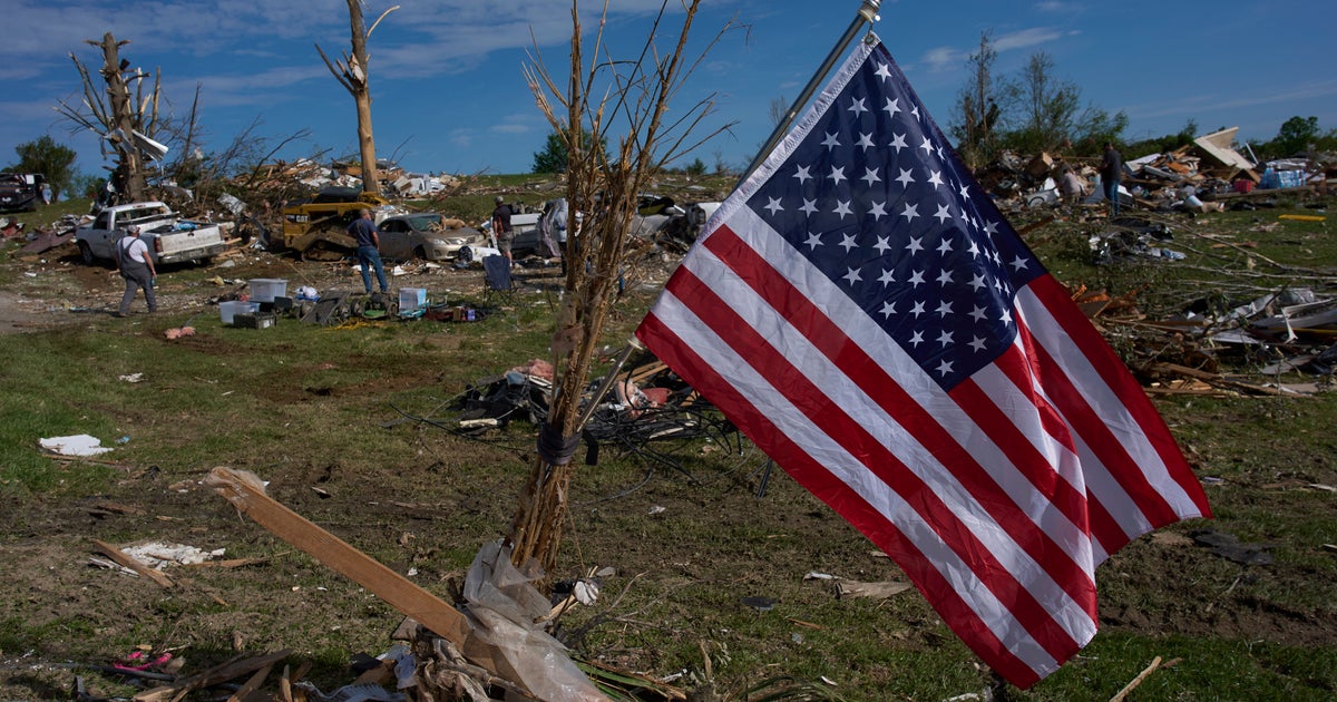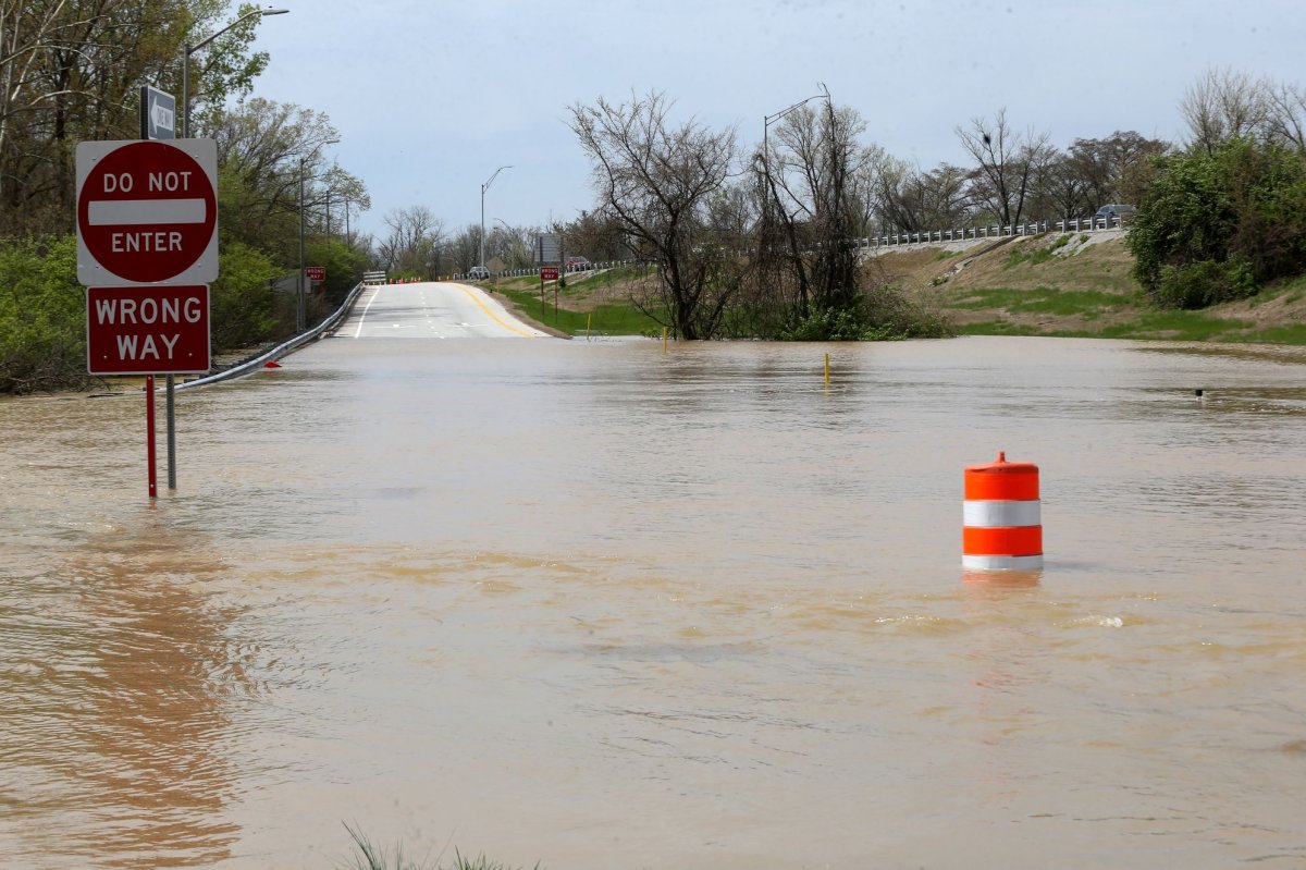
Much-needed rain drenching large parts of the central United States over the next week will bring relief to areas that have struggled with drought since autumn. However, the beneficial rain may also trigger flooding in some communities.
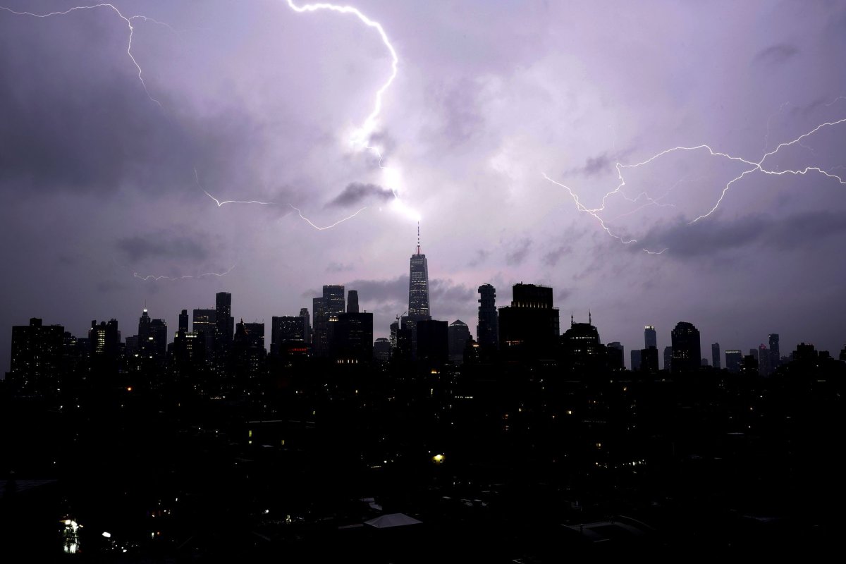
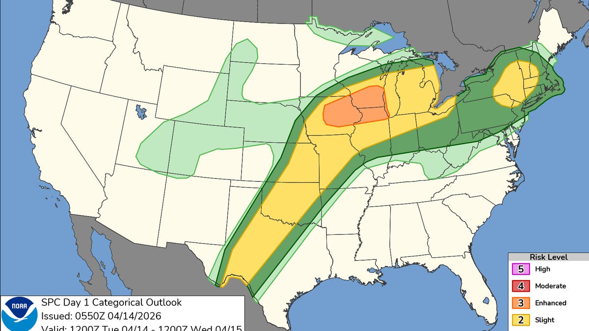
Multiple rounds of rain and thunderstorms will unfold as a series of storms tracks from Texas and the southern part of the Great Plains into the Ohio Valley and Northeast. Warm, moisture-rich air from the Gulf will clash with lingering cold air in the Northeast, leading to snow and ice there, while severe thunderstorms target parts of the Plains and Mississippi Valley.
While locally heavy rain and sporadic flooding are possible along this roughly 1,500-mile-long corridor, two primary areas are expected to get the heaviest and most persistent rainfall at different times. A third flood zone will depend on how quickly river ice breaks up.
Short-term flood threat from Missouri to West Virginia
One zone will stretch from the middle portion of the Mississippi Valley into the Ohio Valley from Tuesday to Thursday as a storm rides along a stalled frontal boundary. Rainfall totals will generally range from 1 to 4 inches, with an AccuWeather Local StormMax&trade of 7 inches.