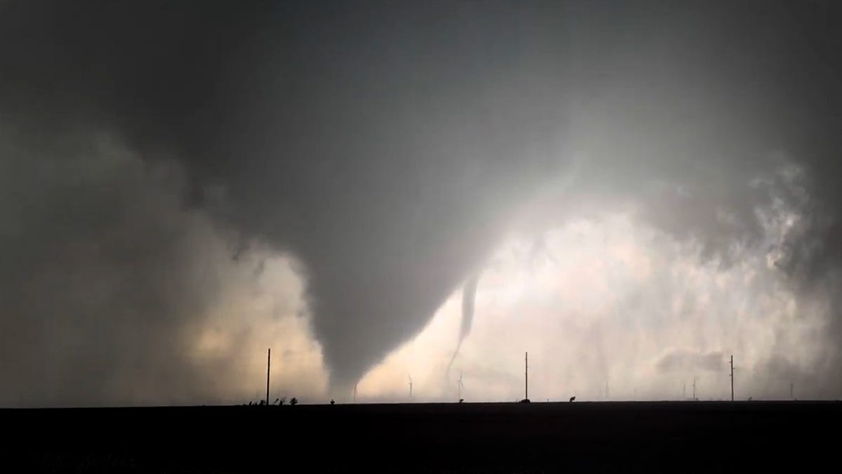
After a brief break, severe weather is returning to the forecast as April begins — mainly across the central U.S., with severe thunderstorms, tornadoes, and flooding downpours all possible.
"Heavy thunderstorms this week may bring hail, damaging winds, tornadoes and flooding rain from the Plains to the Great Lakes, disrupting travel and outdoor plans into Easter weekend," said AccuWeather meteorologist Alex Sosnowski in an online forecast.
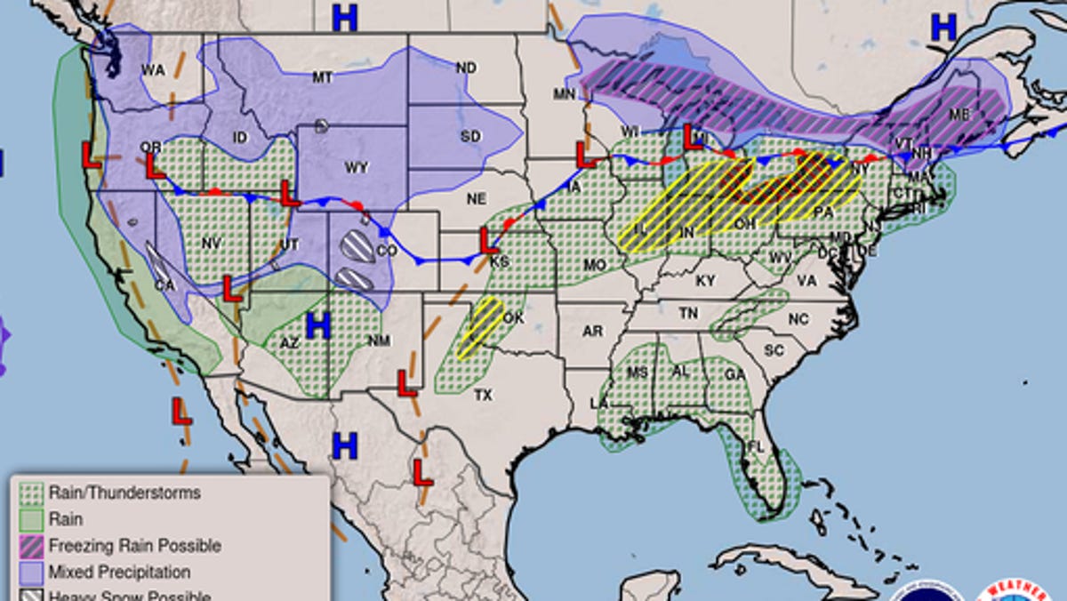
At the same time, freezing rain and snow will bring a wintry feel to the far northern tier of the U.S. over the next few days.
On Tuesday, March 31, a front extended from the Northeast across the Great Lakes, Central Plains, Northern Rockies, and Northern California, which will remain nearly stationary with waves of low pressure running along the boundary through Thursday, April 2, NOAA's Weather Prediction Center (WPC) said in an online forecast.
"Tuesday's storms may bring large hail, damaging wind gusts and a few tornadoes, with the greatest concentration from southern Michigan to northeast Illinois, the northern parts of Indiana and Ohio," AccuWeather meteorologist Brandon Buckingham said.