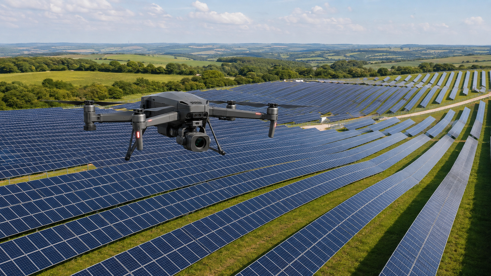
Spanish researchers have developed a three-phase framework that uses unmanned aerial vehicles to map PV plants, identify defective modules and assess fault severity. Tested at two utility-scale facilities in England, the method achieved module-detection accuracy of up to 98.55% and fault-classification accuracy of 96.6%.
A team of researchers from Spain has developed a novel method for locating faults in individual PV modules and quantifying their severity in large-scale solar plants.
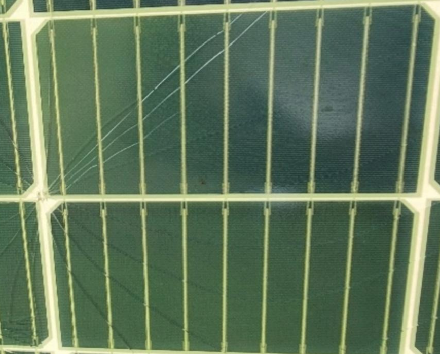
Their proposed technique, which utilizes unmanned aerial vehicles (UAVs), consists of three phases: modeling the UAV’s flight geometry, detecting and quantifying thermal defects, and mapping faults to individual PV modules. Their framework is presented in the research paper A novel approach for fault location and defect quantification in large-scale photovoltaic plants, published in Applied Energy.
Corresponding author Isaac Segovia Ramírez told pv magazine the main novelty of the research is the location and quantification of faults in photovoltaic plants, as traditional machine-learning algorithms generally focus only on identifying the type of fault.
“We are planning to continue this line of research,” he added. “The next steps will focus on validating the proposed methodology in several large-scale photovoltaic plants, improving the automatic classification of faults. For industrial applications, we plan to implement this methodology in Internet of Things (IoT) platforms where customers can upload the images to obtain a report.”