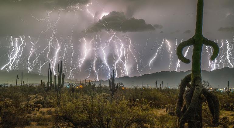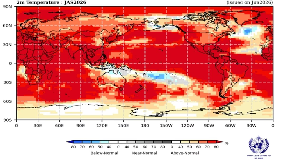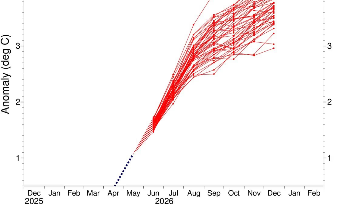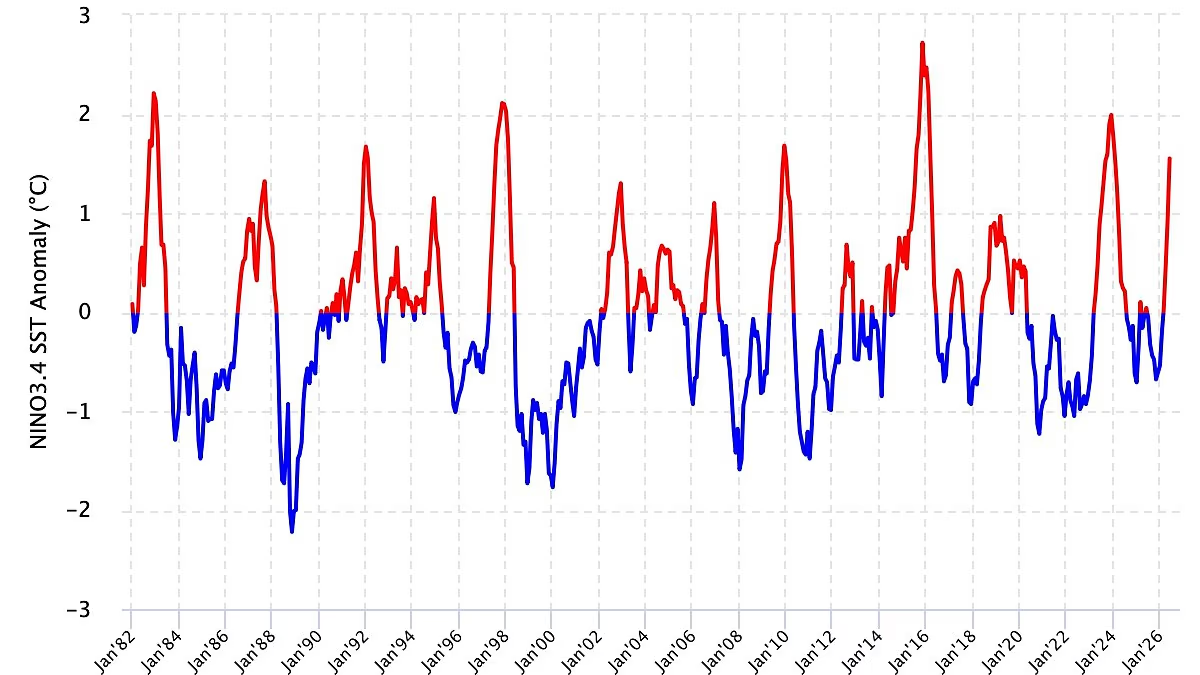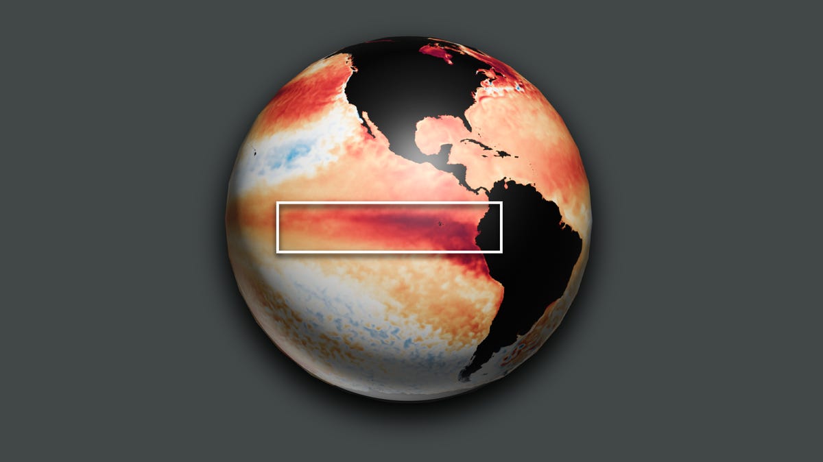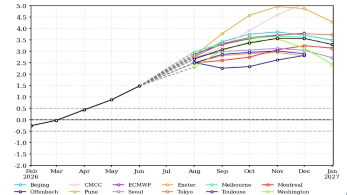
The Super El Niño is getting even stronger, the latest climate models have revealed.According to the World Meteorological Organisation (WMO), El Niño is expected to steadily strengthen into a 'strong' event between August and October.This powerful climate pattern is expected to bring above–average temperatures all around the planet and cause huge changes in rainfall patterns.While many countries are already facing one of the hottest and driest summers on record, experts warn 'this is only the warm–up act'.The WMO now predicts that sea surface temperatures in key regions will exceed 2.9°C (5.2°F) above the seasonal average.El Niño events typically reach their peak between November and February, and have their strongest influence on global weather during the start of the following year.This means we are only just starting to experience the effects of what experts are calling the strongest El Niño event in recorded history.António Guterres, UN Secretary–General, says: 'El Niño is strengthening – adding fuel to a planet already on fire with scorching heat domes, apocalyptic wildfires and record hot seas.' The current super El Niño event is going to get even stronger, the latest climate models warn (pictured)
Super El Nino is getting even STRONGER, models reveal
The Super El Niño is getting even stronger, the latest climate models have revealed.
1,026 words~5 min read