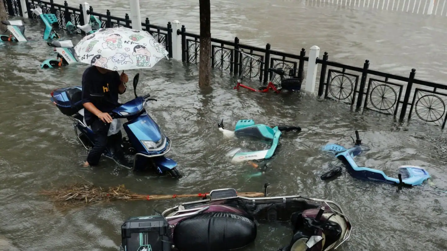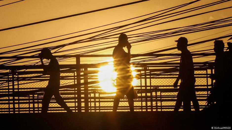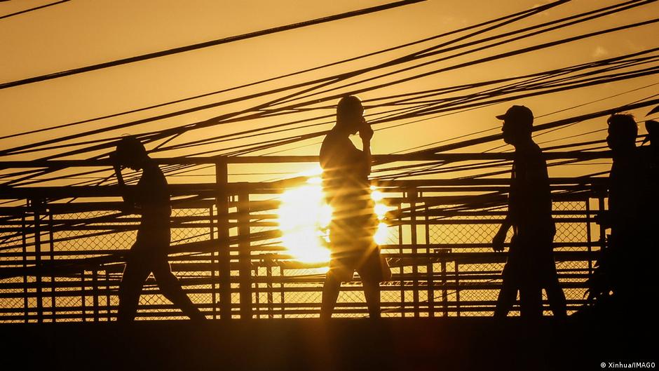
An unusually intense El Niño event is gathering strength in the tropical Pacific in a hurry. It is poised to break records for its intensity and is already starting to influence global weather patterns. That means forecasters are getting more confident in predicting how it will affect different parts of the globe during the next one to two years.
Most computer model projections show this El Niño will capture the title of the strongest since at least 1950. But its effect on us humans — and our lives and economies — isn’t straightforward. El Niño is a complex system and its impacts are highly dependent on location and time of year. In fact, even the idea of a “strongest” El Niño takes some explaining.
El Niño events are a climate cycle characterized by hotter than average ocean temperatures in the central and eastern tropical Pacific, which transfer huge amounts of heat to the atmosphere via clouds and heavy precipitation. Shifts in weather patterns radiate outward to other regions of the globe like sound waves from a bell being rung, said climate and public health researcher Jeffrey Shaman of Columbia University during an El Niño media briefing last week.
The scientific definition of a record strong event is measured by how hot the water in a specific, benchmark region of the tropical Pacific becomes, but that doesn’t tell you much about what to expect at home.