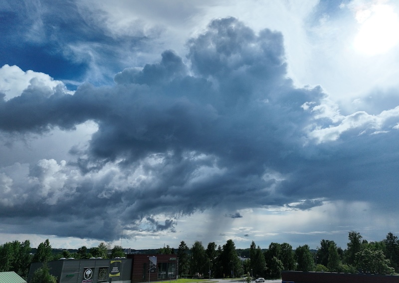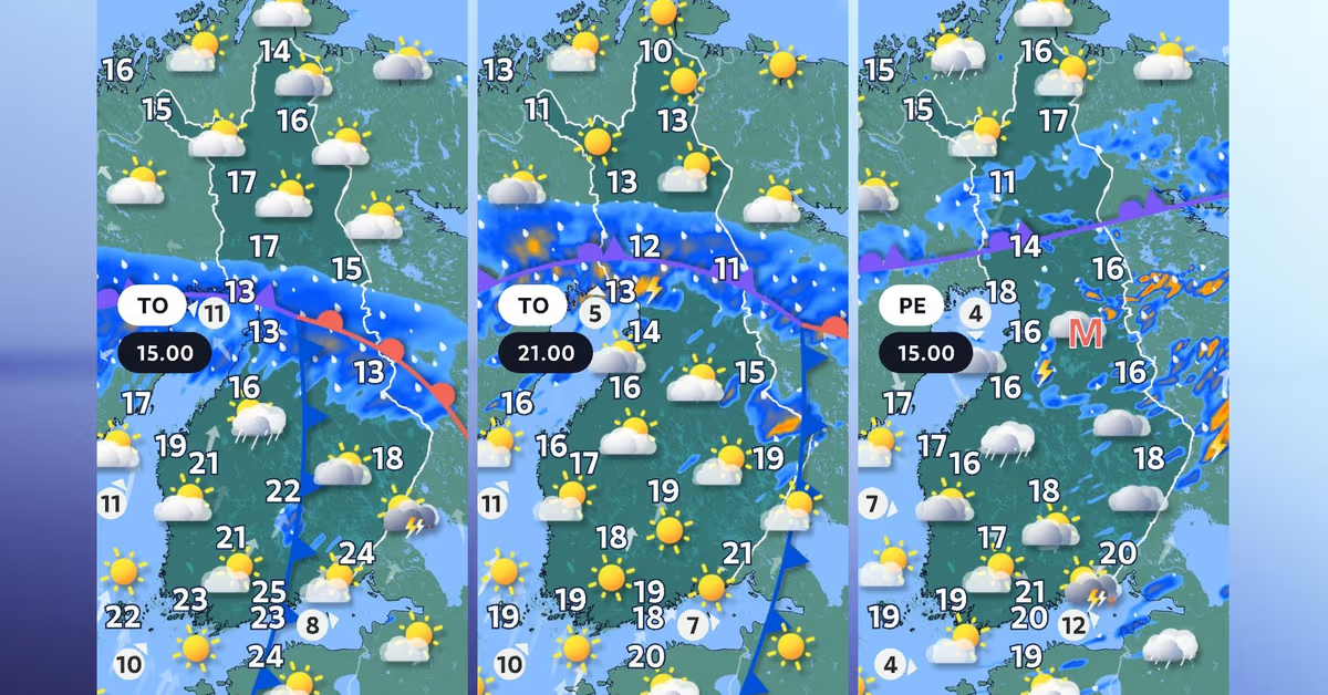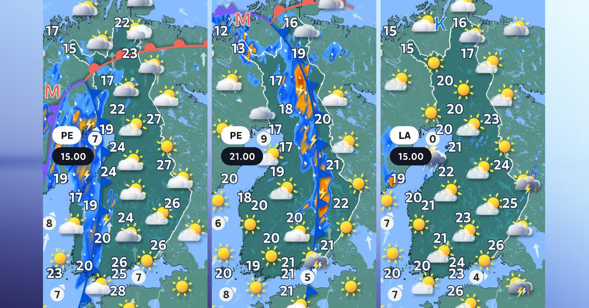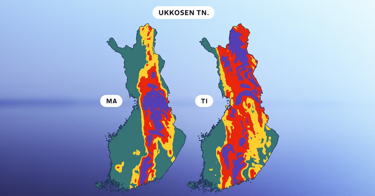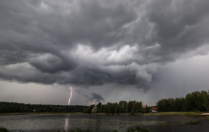
Stormy conditions are particularly expected in areas around Kainuu and Lapland.Animated forecast map showing the likelihood of thunderstorms on Tuesday (tiistai) and Wednesday (keskiviikko). Blue is more than 80 percent, red is 50-80 percent, while yellow indicates a 20-50 percent chance of thunderstorms.Yle News14:59Updated 15:23Strong thunderstorms started booming across areas of central and northern Finland on Tuesday afternoon.The rain and thunder are expected to increase during the afternoon and start spreading out towards the evening.Northern areas of the country are most likely to be hit by the stormy weather, according to Yle meteorologist Elias Paakkanen."Severe thunderstorms and strong winds are particularly expected in areas around Kainuu and Lapland," Paakkanen said.The Finnish Meteorological Institute warned on X that thunderstorms are forecast to hit Rovaniemi at around 3:30 pm, with a risk of hail.Daytime temperatures will remain below 20 degrees across southern and central Finland, while in Eastern Lapland they will hover just above freezing.Conditions are expected to become drier and warmer from Tuesday onwards.Edited to include the Finnish Meteorological Institute's thunderstorm warning.
Severe thunderstorms boom in Central Finland, Lapland
Stormy conditions are particularly expected in areas around Kainuu and Lapland.
171 words~1 min read