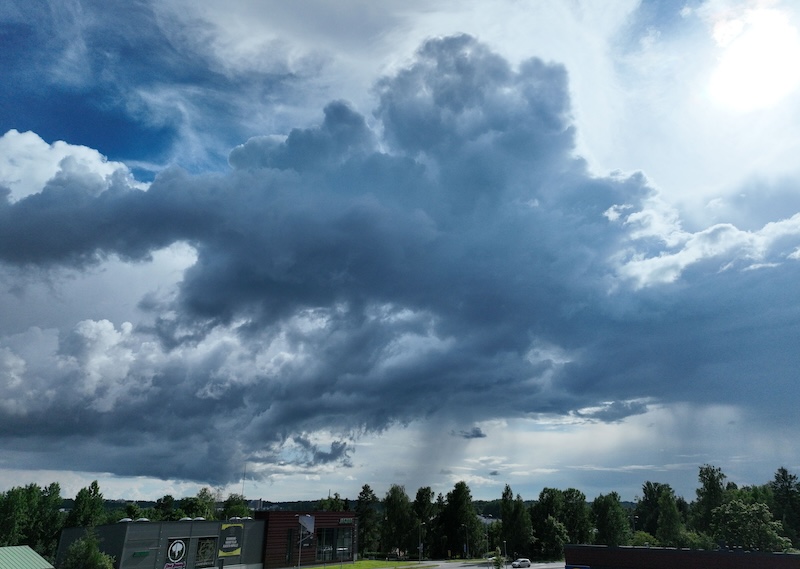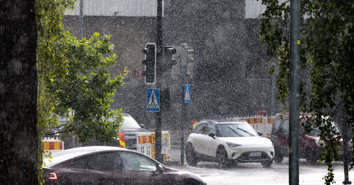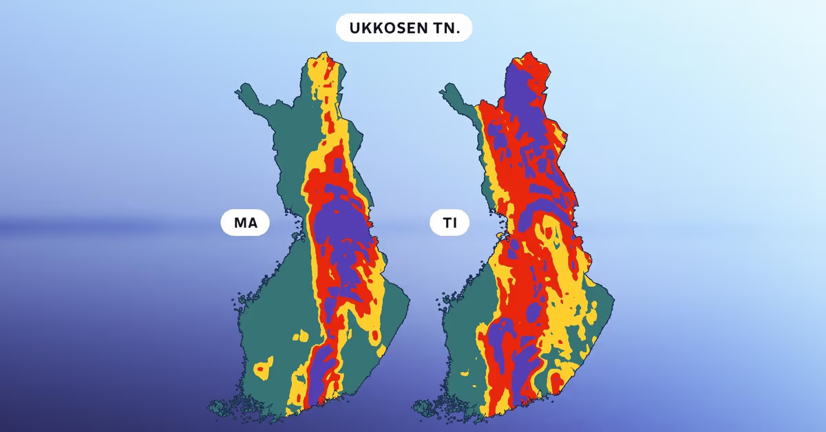
Most of the country will see temperatures below 20 degrees, but it will be warmer in the east.This map shows the probability of thunderstorms on Monday (MA) and Tuesday (TI). The violet colour indicates a probability of over 80 percent. Red suggests a 50-80 percent probability. Image: Henriikka Heikinoja / YleYle News8:23Many areas in Finland will see thunderstorms at the beginning of this week, as the final days of July wind down.According to Yle meteorologist Henriikka Heikinoja, some areas will get heavy rain."The start of the week will begin with thunder in a large part of the country. It's worth following weather forecasts, especially on Tuesday in Kainuu and eastern Lapland," Heikinoja said.The precipitation front is expected to move slowly across the country on Monday, with heaviest rainfall in western areas, while powerful thunderstorms will prevail in the east.Most of the country will see temperatures below 20 degrees, but it'll be warmer in the east, possibly above 25 degrees in North Karelia on Monday.Weather forecast map for Monday (MA) and Tuesday (TI). Image: Henriikka Heikinoja / YleTowards Monday evening the rain and thunderstorms are expected to continue in the west and north, and showers are possible in eastern areas. More thunder showers may arrive in the south during the evening.The unsettled, rainy conditions are expected to continue on Tuesday, with thunderstorms and downpours possible in northern areas, including Kainuu.In western areas, temperatures will remain below 20 degrees on Tuesday, but in eastern parts of the country, including Eastern Lapland, thermometer readings could be above 25 degrees.The weather is expected to begin improving by Wednesday.
Thunder, rain starts the week as July winds down
Most of the country will see temperatures below 20 degrees, but it will be warmer in the east.
264 words~1 min read