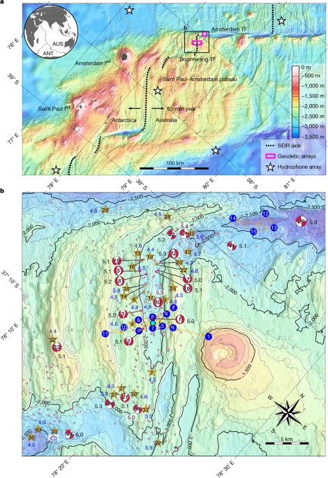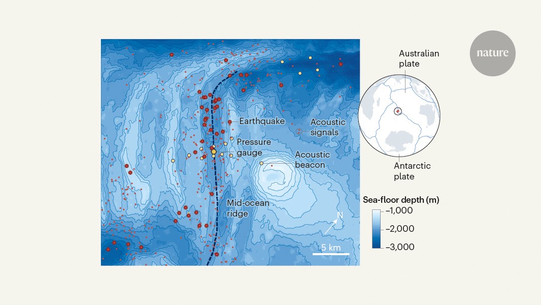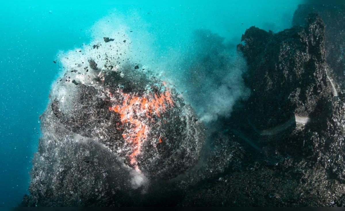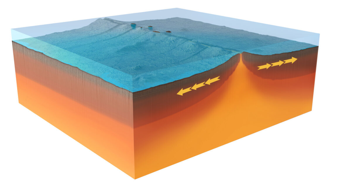
The researchers interpret this as a magma reservoir beneath the ridge draining. Consistent with that, the temperature of the water at the nearby instruments started rising at the same time, suggesting that magma was interacting with the seawater.
That’s already a lot, but the list of events doesn’t end there. While all of this was going on, instruments on opposite sides of the central valley started moving farther apart, in some cases by well over a meter.
Rare, sudden changes
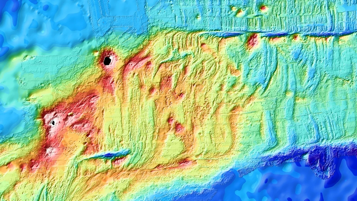
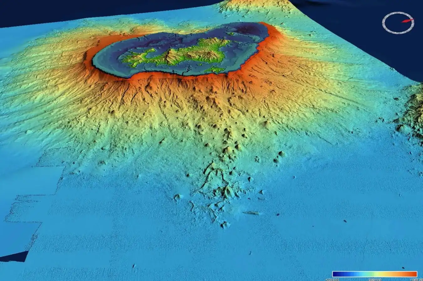
Sometime after the site had returned to background levels of activity, the next visit from a French research vessel occurred, and new imaging of the site took place. The resolution is quite poor, but even so, there are some sites that were over 90 meters higher than they had been during the previous mapping, well beyond the potential errors in the instruments. One patch of material was over 4 kilometers long, and the researchers estimate the total amount of new material at about 150 million cubic meters.
The researchers performed modeling of the events to try to figure out how all of them might be connected. They randomized different configurations of magma source, dyke extent, and fault geometries and sampled 10 million different ones to see whether they could produce the sorts of changes the instruments picked up. Only 2,200 of them could, and they had a number of common features. These include a collapse of a deep reservoir of molten material called a sill, which is a bit like a horizontally oriented version of a dyke. Some of this magma went into a dyke it is connected to, expanding it. At the same time, faults in the area spread by anywhere from 2 to 4 meters.