Staff writer, with CNA
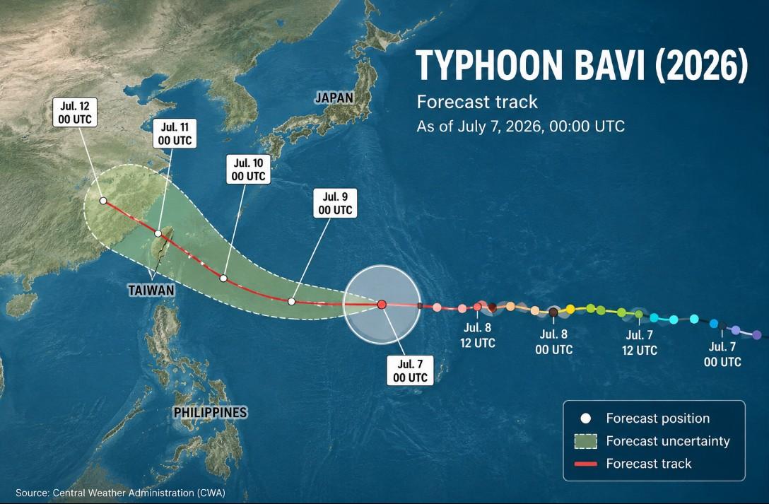
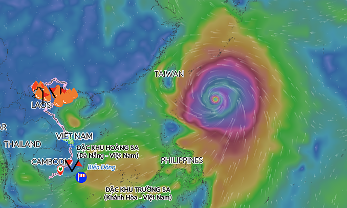
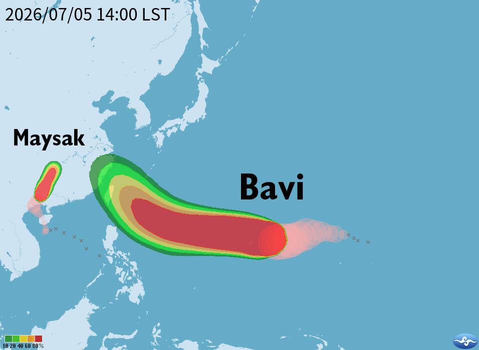
Typhoon Bavi is expected to make its closest approach to Taiwan on Friday and Saturday, with a sea warning likely to be issued as the storm approaches, the Central Weather Administration (CWA) said yesterday. As of 2pm, the eye of the typhoon was about 3,030km east-southeast of Oluanpi (鵝鑾鼻), Taiwan’s southernmost tip, and moving west-northwest at 17kph, the CWA said. The storm, which has a radius of 320km, had maximum sustained winds of 198kph near its center, it said.
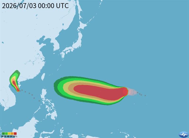
The projected path of Typhoon Bavi is pictured yesterday.
Photo courtesy of the Central Weather Administration
CWA forecaster Lai Hsin-kuo (賴欣國) said Bavi is expected to strengthen further today, with maximum sustained winds reaching 227kph and its storm radius expanding to about 350km by Wednesday. Based on the latest forecast, Bavi is expected to turn northwest on Thursday and pass waters east to northeast of Taiwan before entering the East China Sea and heading toward China, although its direction remains uncertain.