Staff writer, with CNA
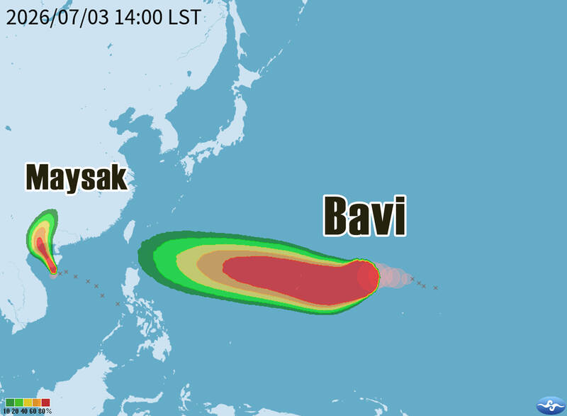
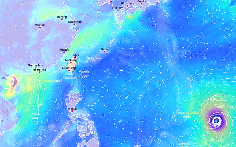
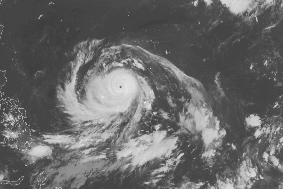
Typhoon Bavi, which is moving westward over waters east of the Philippines, is showing signs of intensifying, though its potential impact on Taiwan remains uncertain, the Central Weather Administration (CWA) said today.As of 8am, the center of the storm was 3,800km east-southeast of Oluanpi (鵝鑾鼻), on the southernmost tip of Taiwan, moving westward but slowing from 16kph to 13kph, CWA data showed.It was packing maximum sustained winds of up to 137kph near its center, with gusts of up to 173kph, the weather agency said.
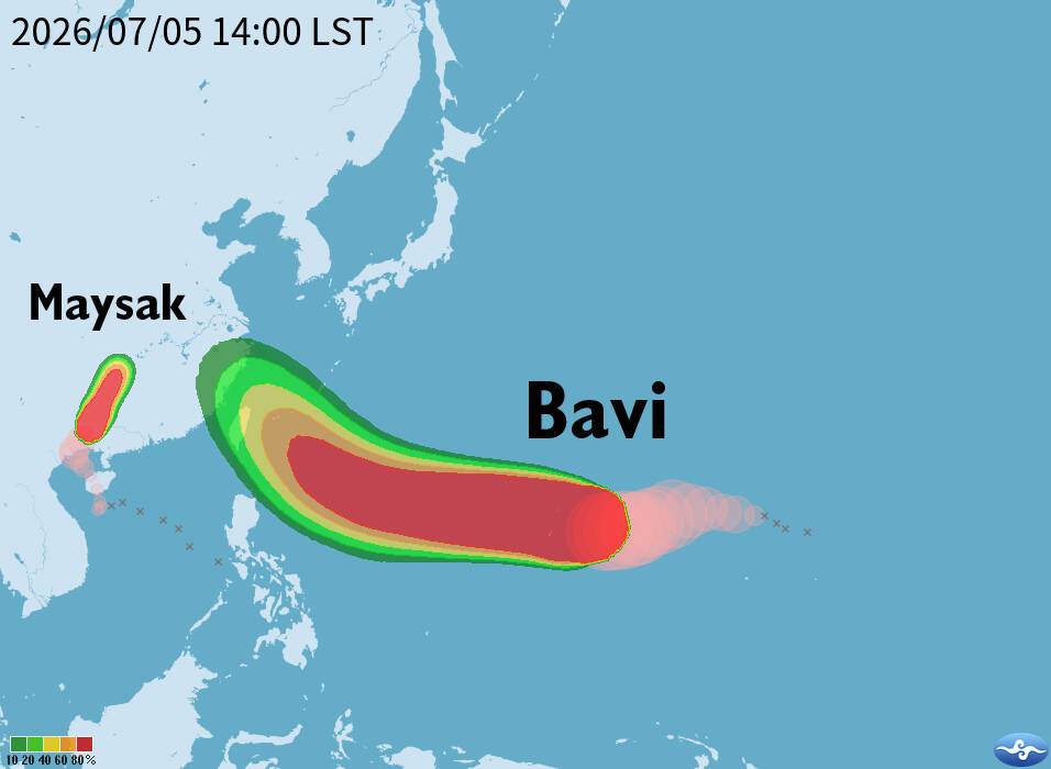
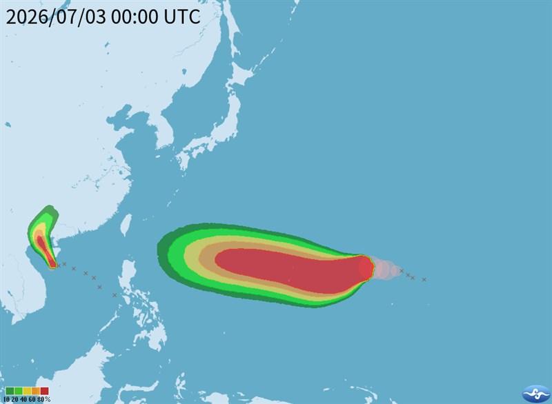
The projected path of Typhoon Bavi is pictured as of 8am today.
Photo courtesy of the Central Weather Administration
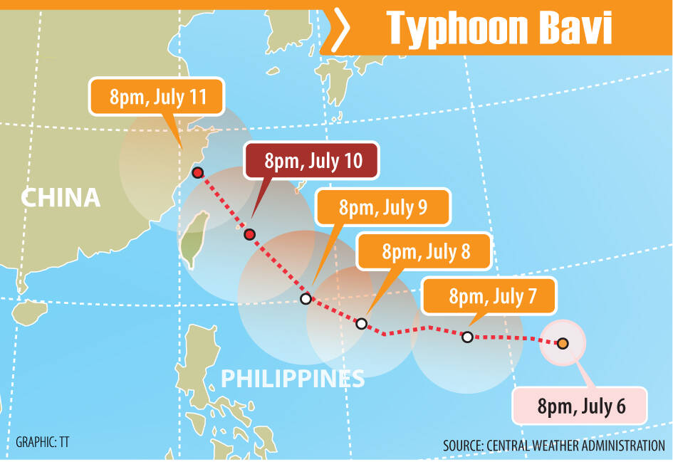
Due to environmental conditions, Bavi is expected to continue strengthening in the coming days, the CWA said.The typhoon is forecast to reach waters southeast of the Ryukyu Islands at about 2am on Wednesday next week, independent meteorologist Wu Der-rong (吳德榮) said.