Staff writer, with CNA and AFP
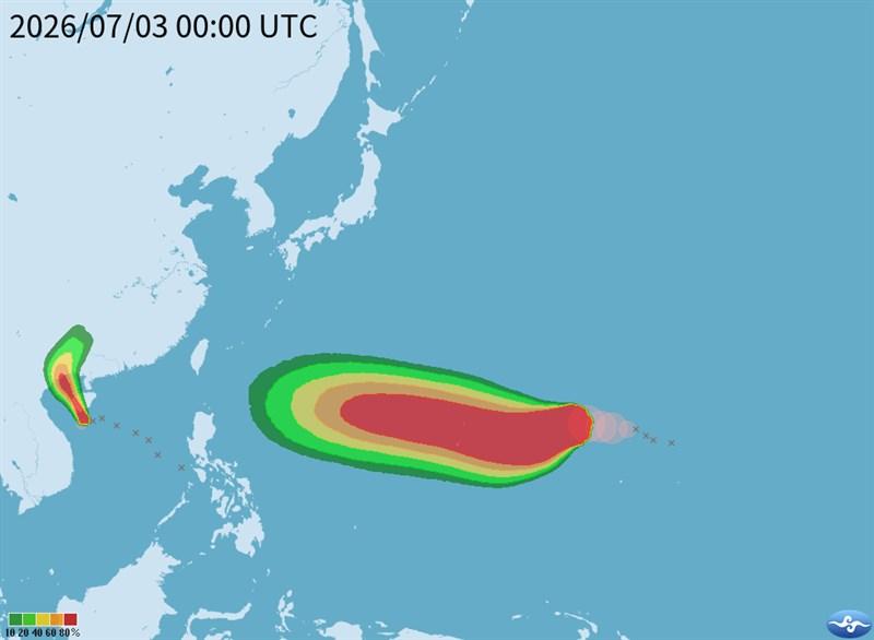
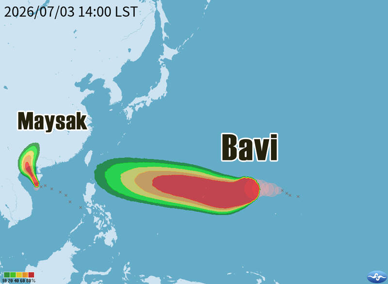
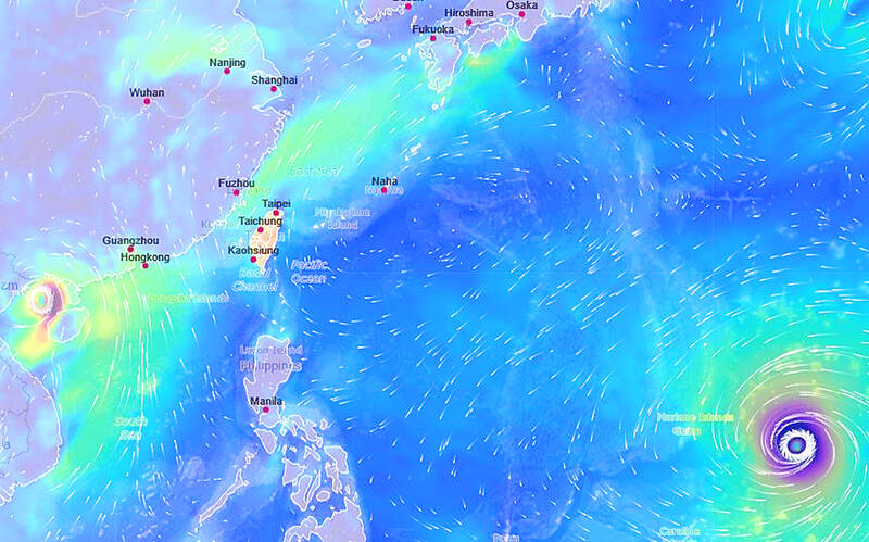
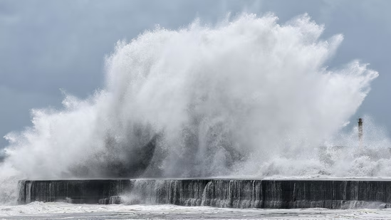
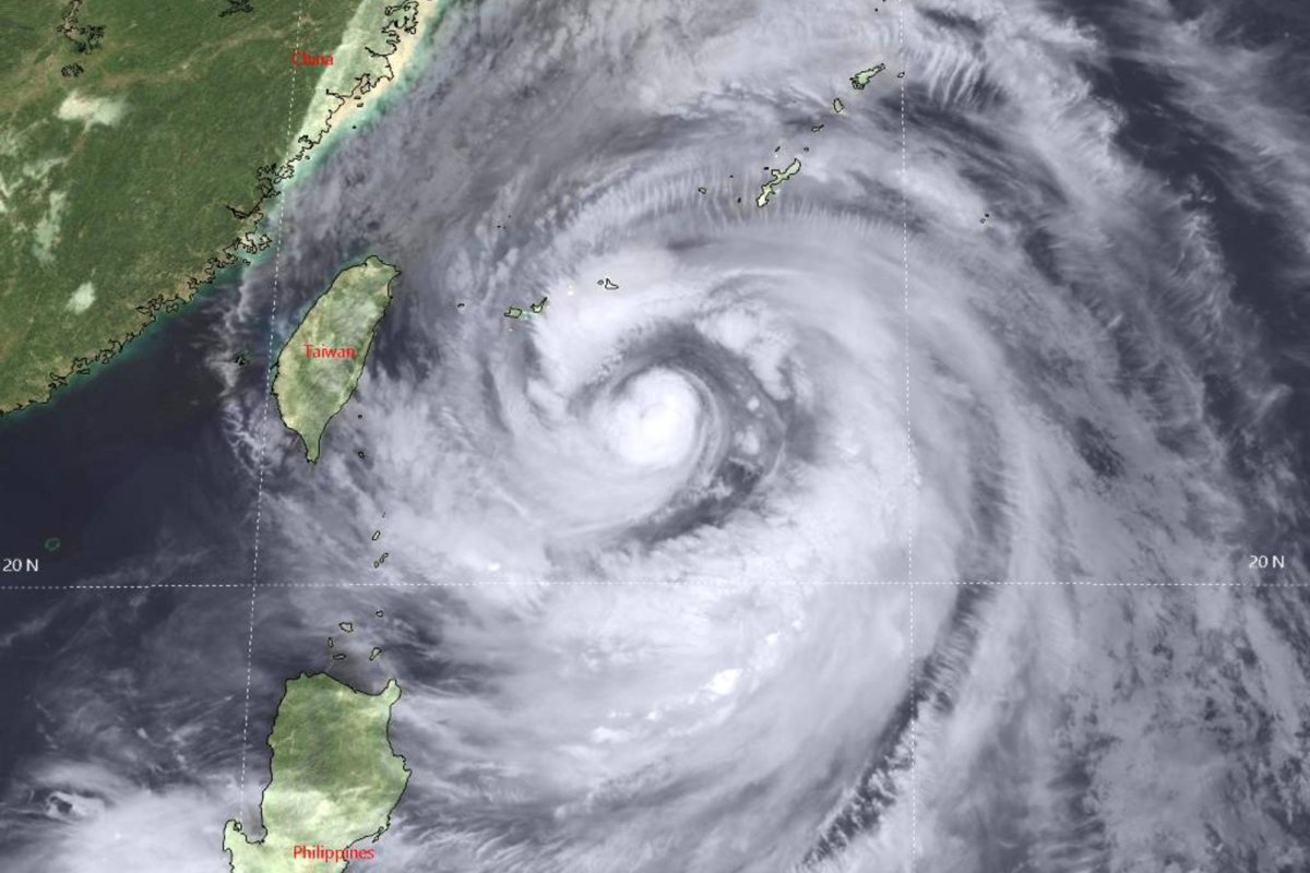
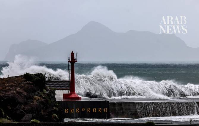
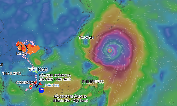
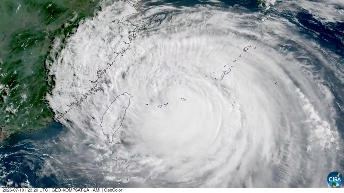
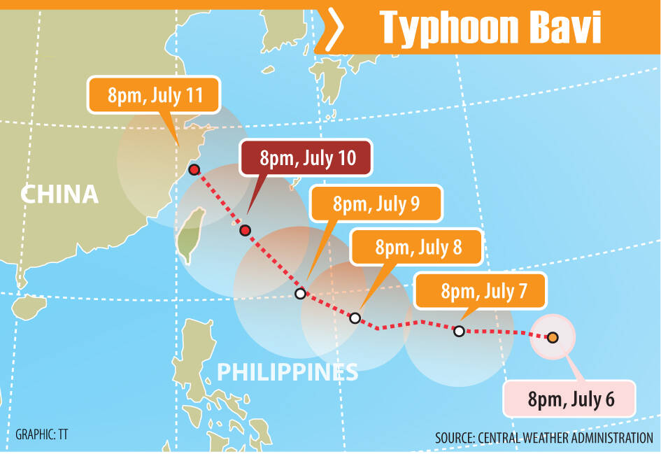
Typhoon Bavi’s center is looking more likely to pass north of Taiwan than to make landfall in the northern part of the country, the Central Weather Administration (CWA) said yesterday, adding that the storm is still too far away to forecast its exact track.As of 2pm yesterday, the center of Typhoon Bavi was about 2,560km east-southeast of Taiwan, moving west-northwest at 27kph, according to the agency.The storm, which has a radius of 350km, had sustained winds of 216kph near its center, with gusts of up to 270kph, CWA data showed.
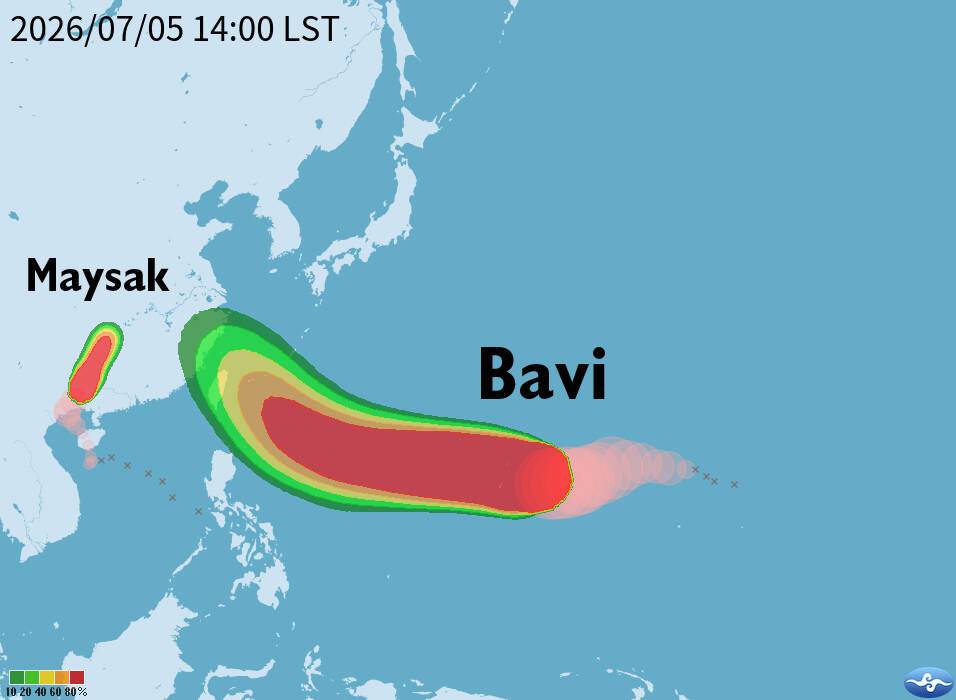
Typhoon Bavi is forecast to pass north of Taiwan.
Bavi is expected to pass closest to Taiwan on Friday or Saturday, the agency said, adding that, based on current data, it could issue a sea warning for the storm as early as Thursday, and a land warning late on Thursday or early on Friday.Independent meteorologist Daniel Wu (吳德榮) yesterday said that Bavi, classified by the agency as an “intense typhoon,” has developed into a large and powerful storm, a phenomenon typically associated with El Nino conditions.
As a safety precaution with powerful Bavi approaching the area, ferry services between Taiwan proper and Green Island (綠島) and Orchid Island (Lanyu, 蘭嶼) southeast of Taiwan would be suspended from noon tomorrow.