Staff writer, with agencies
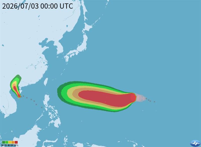
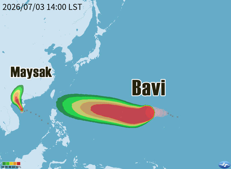
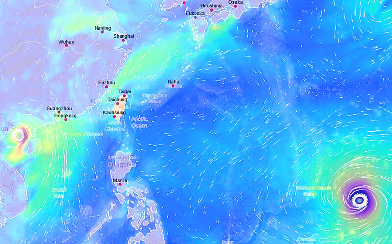
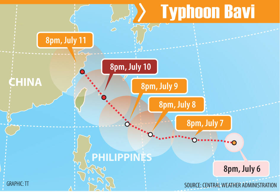
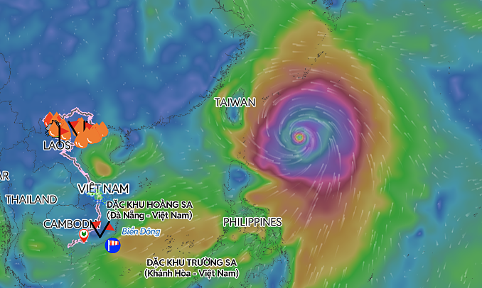
Typhoon Bavi was expected to have its strongest impact on Taiwan from last night through daytime today, with its storm circle forecast to reach areas from New Taipei City’s northeast coast to Yilan and Hualien counties early today, the Central Weather Administration (CWA) said yesterday.As of 6pm yesterday, the center of the typhoon was about 590km east of Taiwan’s southernmost tip at Oluanpi (鵝鑾鼻), moving northwest at 26kph, the CWA said.The storm was packing maximum sustained winds of 155kph near its center, with gusts reaching 191kph. It had a radius of 380km.
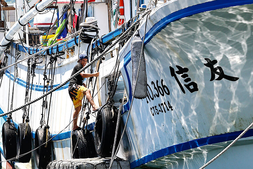
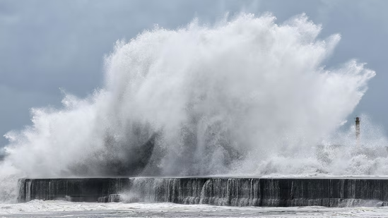
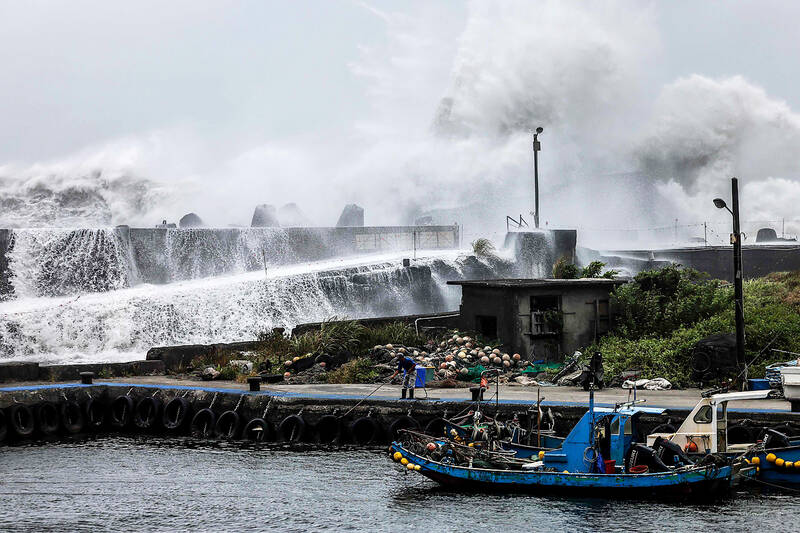
A fisherman handles a rope near a fishing boat as waves crash over a breakwater in Yilan County yesterday, as Typhoon Bavi moves toward northeastern Taiwan.
A land warning, issued at 5:30am yesterday, remains in effect for 14 cities and counties, covering areas from Changhua northward to eastern Taiwan and the outlying islands of Matsu. Sea warnings cover waters north of Taiwan, the northern Taiwan Strait, waters off northeastern and southeastern Taiwan, and the Bashi Channel.
CWA Forecast Center official Lin Po-tung (林伯東) said the storm’s center is forecast to pass north of Taiwan, and its storm circle is expected to shrink slightly as it approaches, meaning not every part of Taiwan would necessarily be covered by the storm circle.