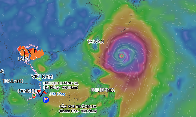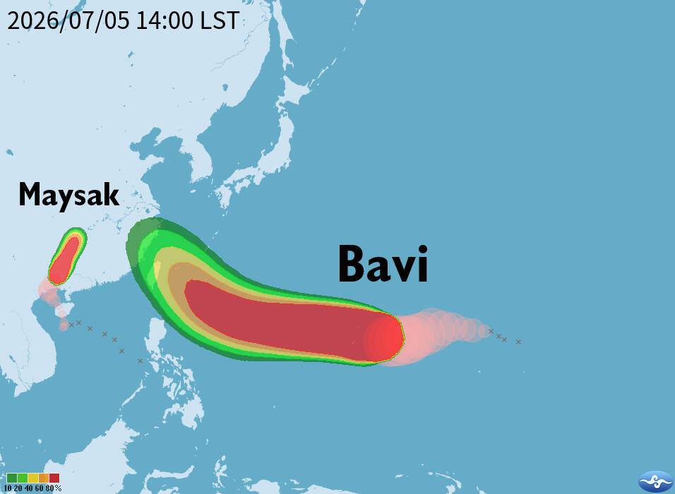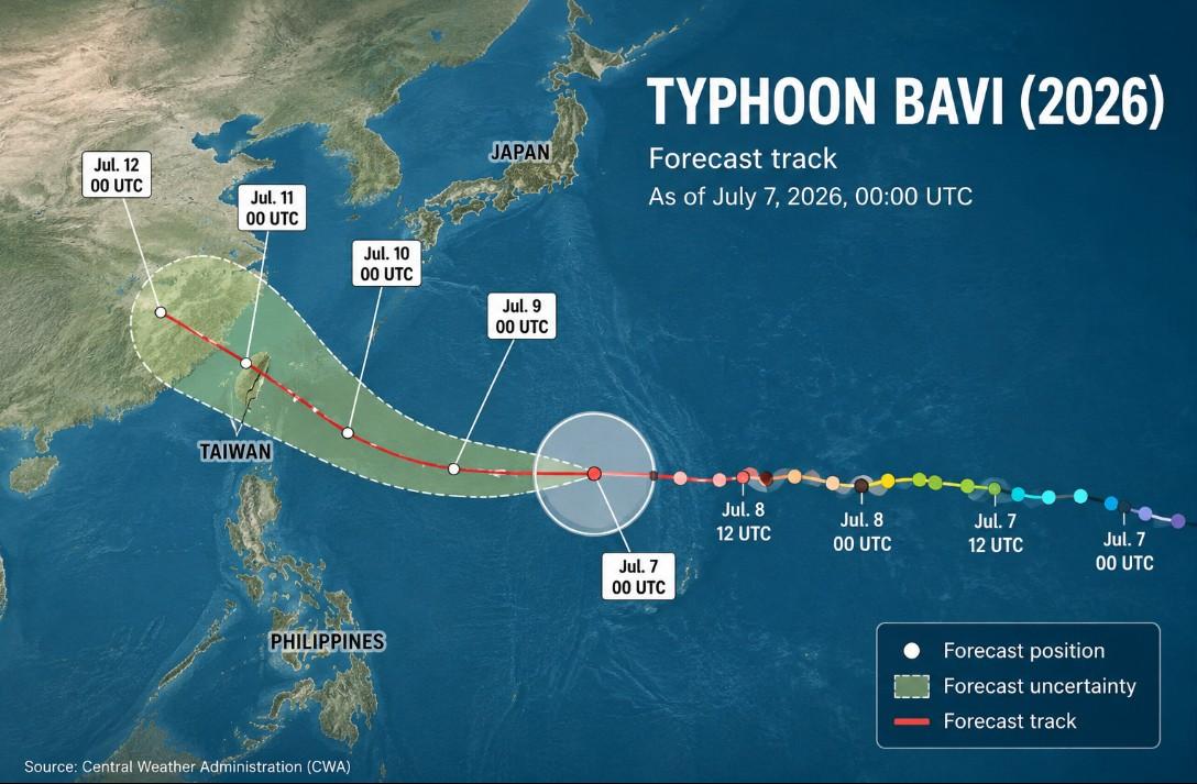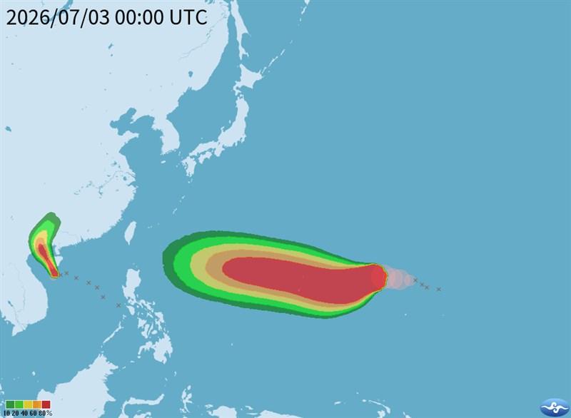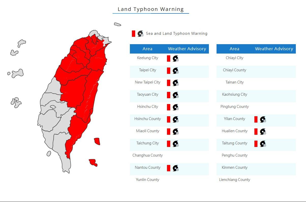
The Central Weather Administration at 5:30am today issued a land warning for Typhoon Bavi, which is expected to have its greatest impact on Taiwan from this evening through tomorrow.As of 8am, the eye of Bavi was about 700km east of Oluanpi (鵝鑾鼻), Taiwan's southernmost point, and was moving northwest at 25kph, the CWA said.The storm was packing maximum sustained winds of 162kph, with gusts of up to 198kph, the weather agency said, adding that Bavi had a storm radius of about 380km.
The Central Weather Administration’s land warnings for Typhoon Bavi.
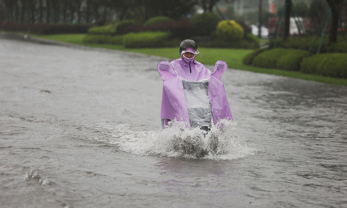
Rainfall is expected to increase in mountainous areas of northern, central and southern Taiwan later today, with the heaviest precipitation forecast from tonight through tomorrow, CWA forecaster Lin Po-tung (林伯東) said.Torrential rain is expected over the next 24 hours in northern Taiwan, including New Taipei City and Yilan, Miaoli and Hsinchu counties, with accumulated rainfall possibly exceeding 350mm, Lin said.
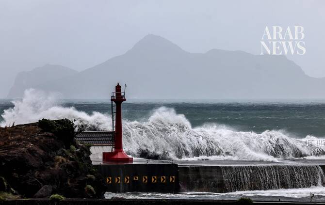
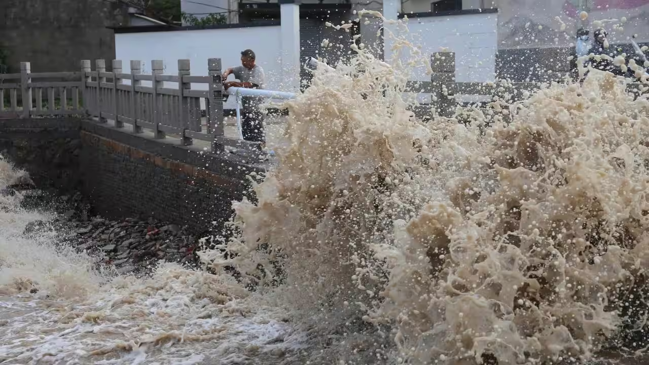
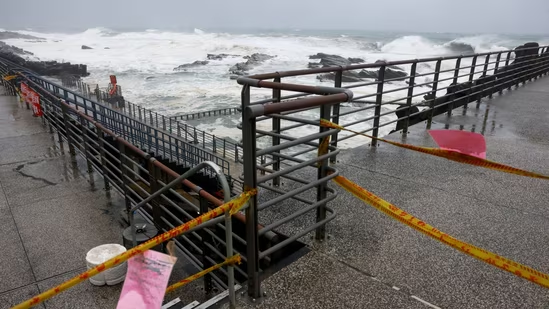
Mountainous areas in central Taiwan and Hualien County in the east could experience localized torrential rain, while mountainous areas in southern Taiwan could report localized heavy rain, Lin said.Although Bavi has continued to weaken since last night, and its storm radius is expected to shrink slightly as it approaches Taiwan, people should remain alert to increasing rainfall and strengthening winds, even though conditions have yet to become severe, he said.The east coast reported significantly higher waves over the past eight hours, with waves of 6m or more recorded in Taitung County's Chenggong Township (成功) and on Orchid Island (Lanyu, 蘭嶼), Lin said.Winds are also expected to strengthen. Northern Taiwan could experience gusts of 75kph to 117kph from tonight through late tomorrow, while gusts of 62kph to 88kph are possible elsewhere, he added.