By Hollie Younger / Staff writer, with CNA
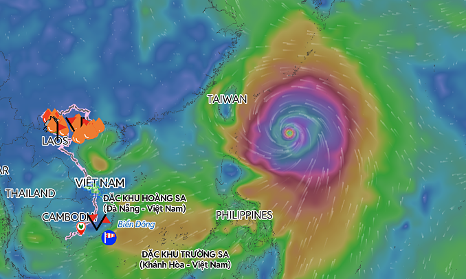
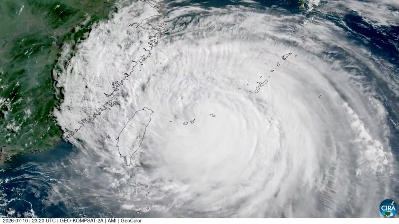
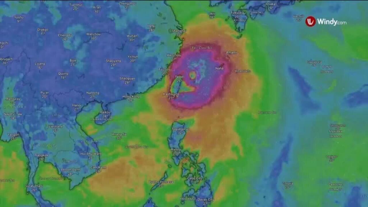
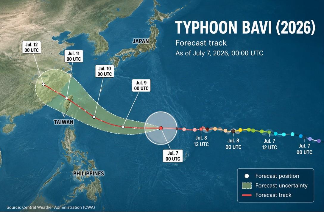
As Typhoon Bavi approaches Taiwan from the southeast, a sea warning is expected to be issued on Thursday, followed by a land warning on either Thursday evening or Friday morning, the Central Weather Administration (CWA) said today. With a relatively wide radius of 350km, the typhoon is expected to affect a wide swathe of the country as it passes by to the north, bringing the heaviest rain on Friday and Saturday, when its path tracks closest to Taiwan, the weather agency said.Torrential rain is forecast in mountainous regions north of Taichung on Friday and Saturday, while heavy rain is also expected across central and northern Taiwan, the northeast, Nantou County and mountainous areas of Hualien County, the CWA said.
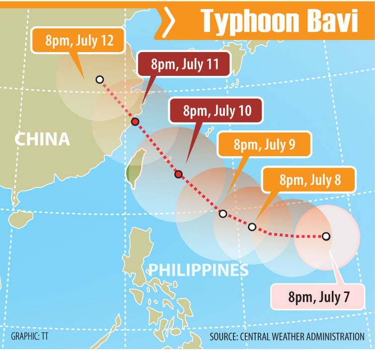
The projected path of Typhoon Bavi is pictured as of 8am today.
Graphic: TT
The typhoon is expected to gradually move away on Sunday, although brief thunderstorms would still be likely across the country, it added. As of 8am this morning, the center of the typhoon was 2,100km east-southeast of Oluanpi (鵝鑾鼻), Taiwan's southernmost point, moving west at a speed of 29kph, the CWA said.