Published on
02/07/2026 - 9:32 GMT+2
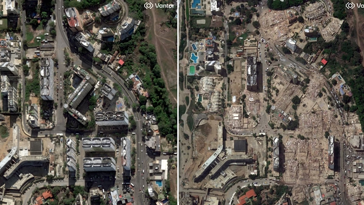
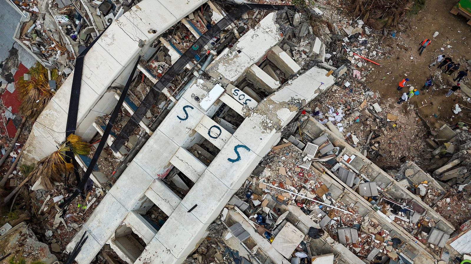
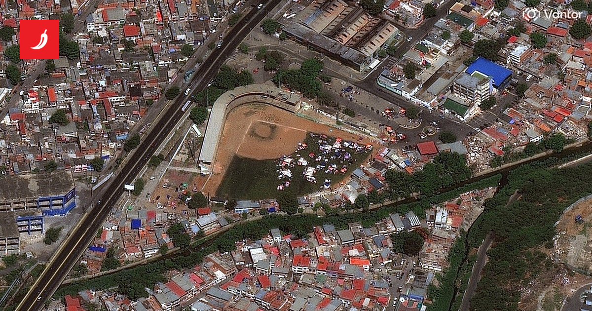
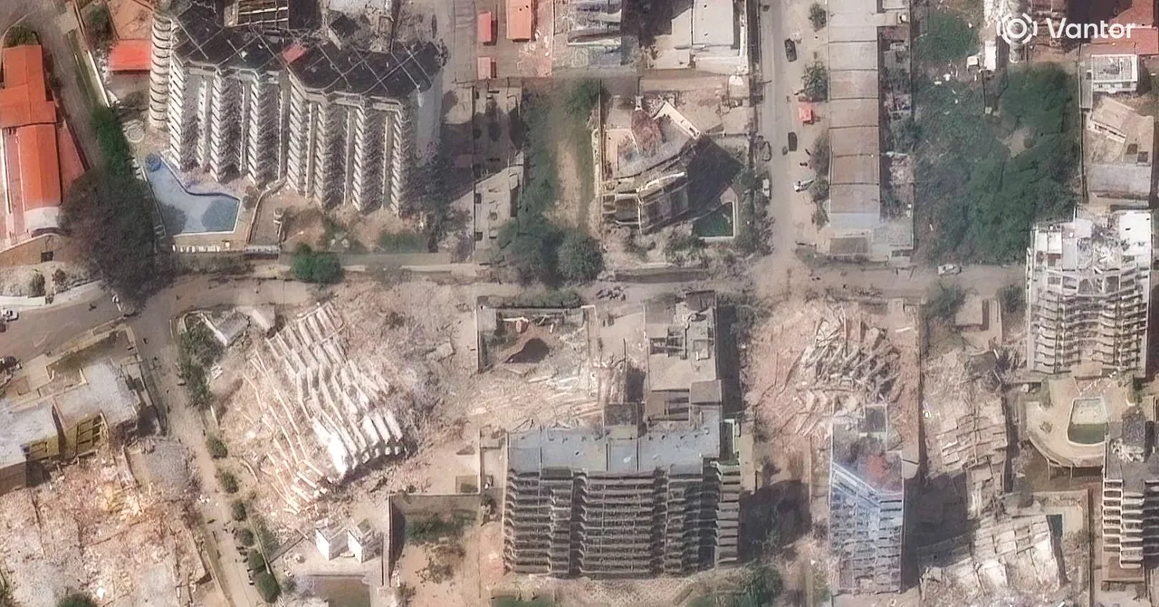
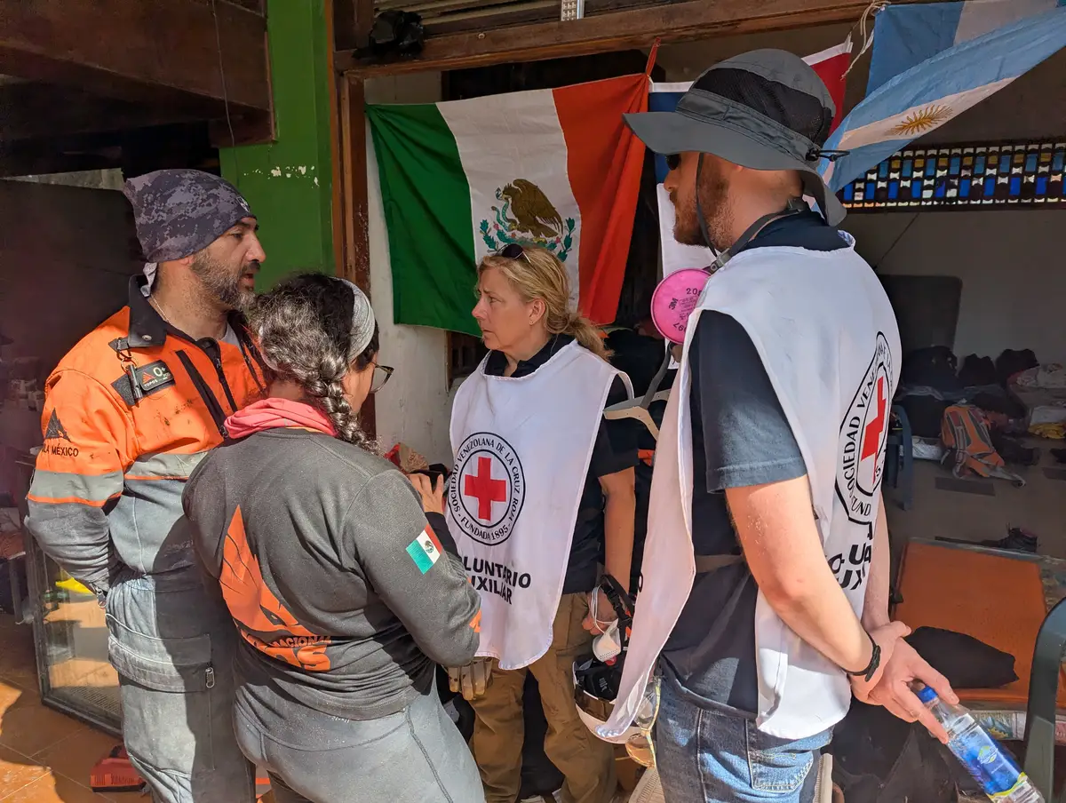
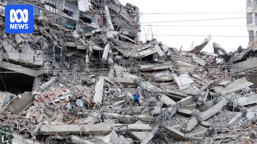
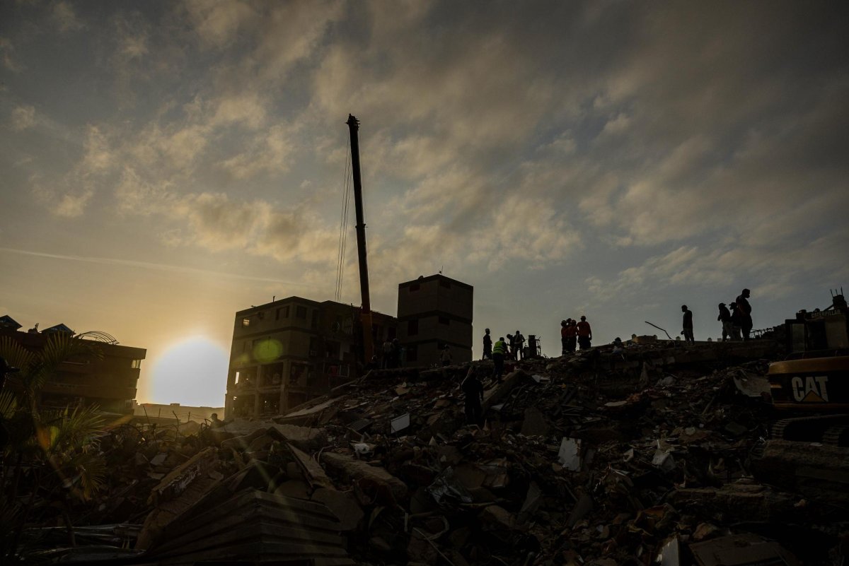
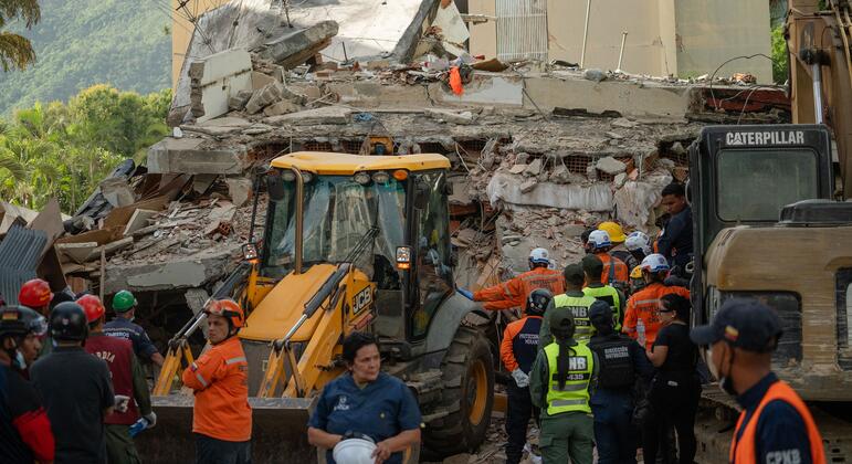
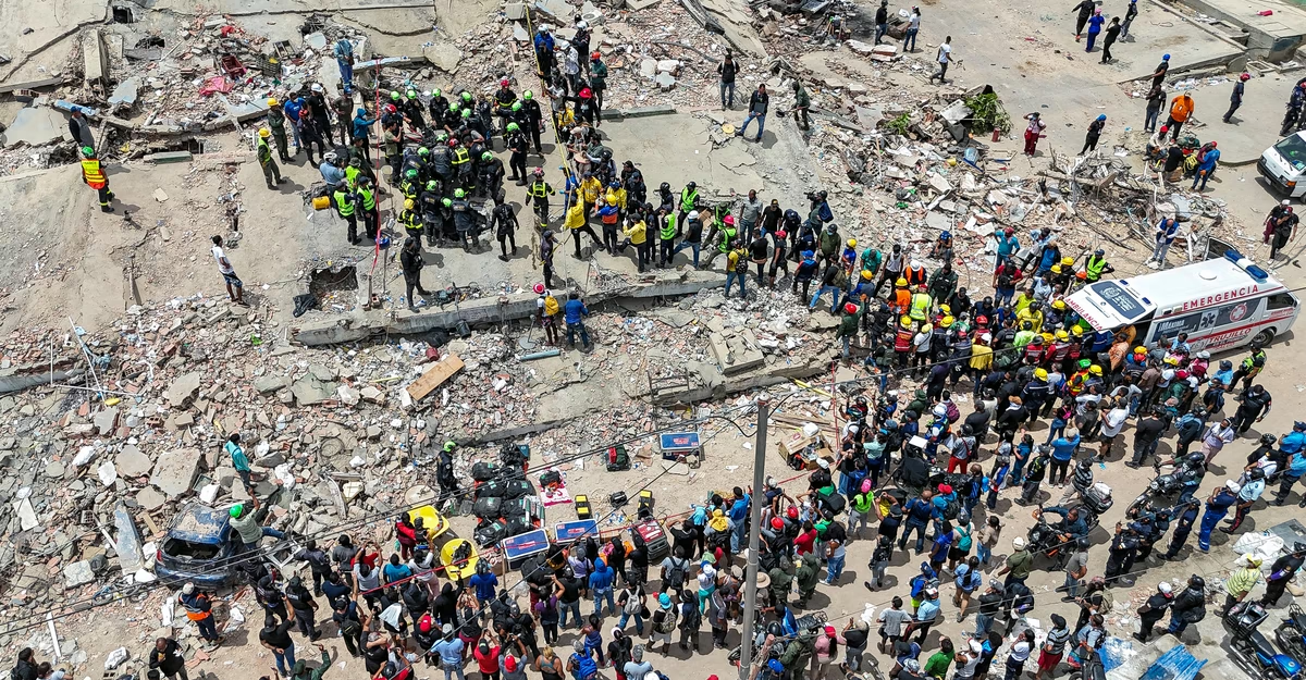
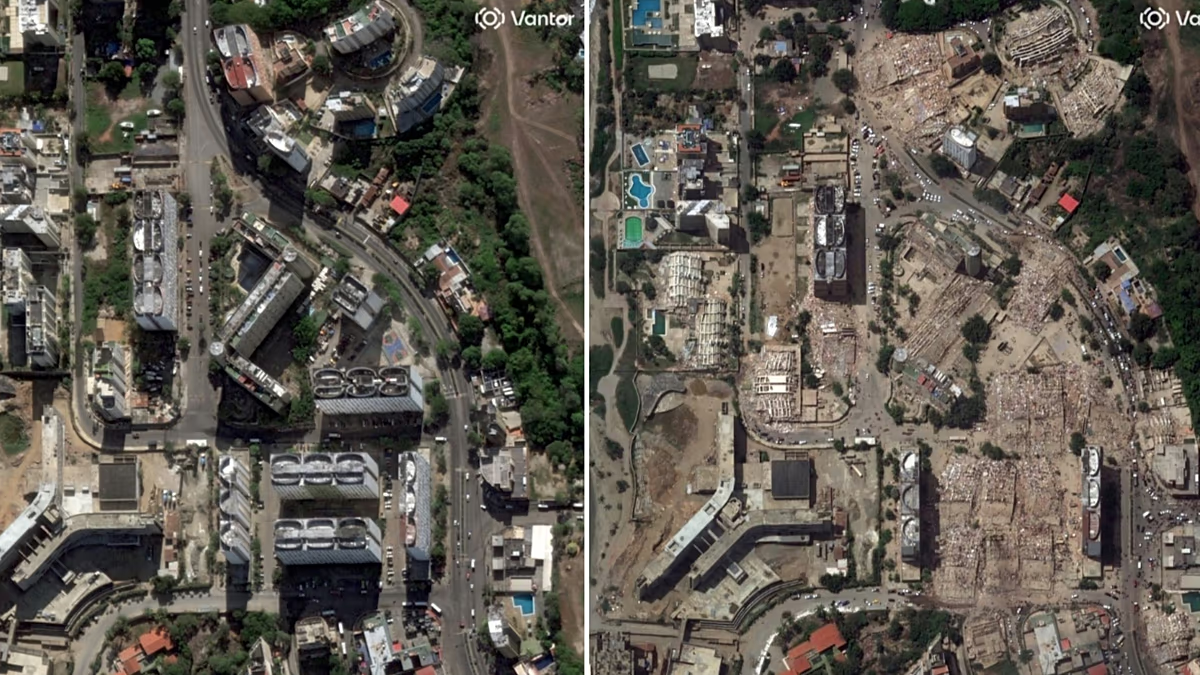
As rescue teams continue to search for survivors in the rubble of the twin earthquakes that struck Venezuela, another race is under way from space. Space agencies, tech companies and international organisations have activated a network of artificial intelligence and geospatial analysis tools to identify, within hours, the areas most likely to have been devastated and to help direct emergency resources where they are needed most.
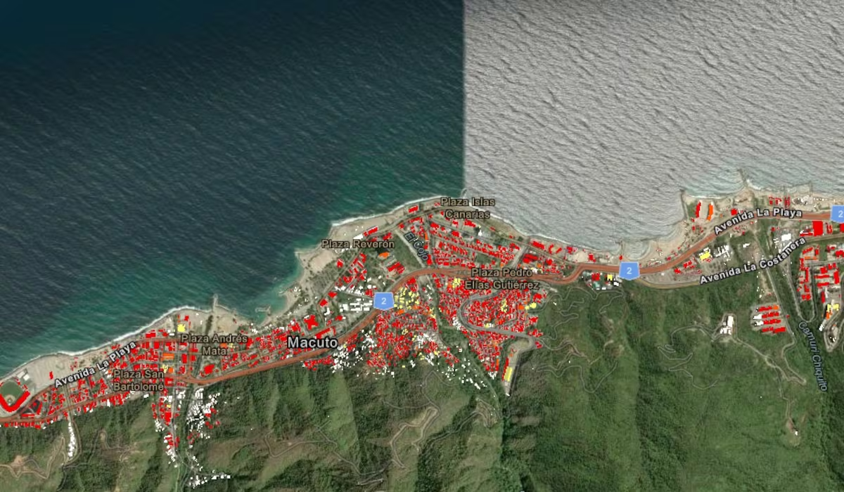
One of the key players is NASA, which has activated its disaster response programme together with researchers at Oregon State University. Their task is to analyse radar images captured before and after the quake to detect abrupt changes in the ground and in buildings. Using this system, scientists estimate that nearly 59,000 buildings may have been damaged or destroyed, a preliminary figure that helps to steer the initial rescue efforts.
undefined