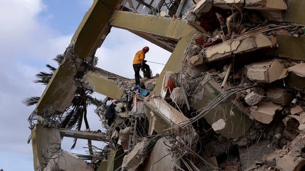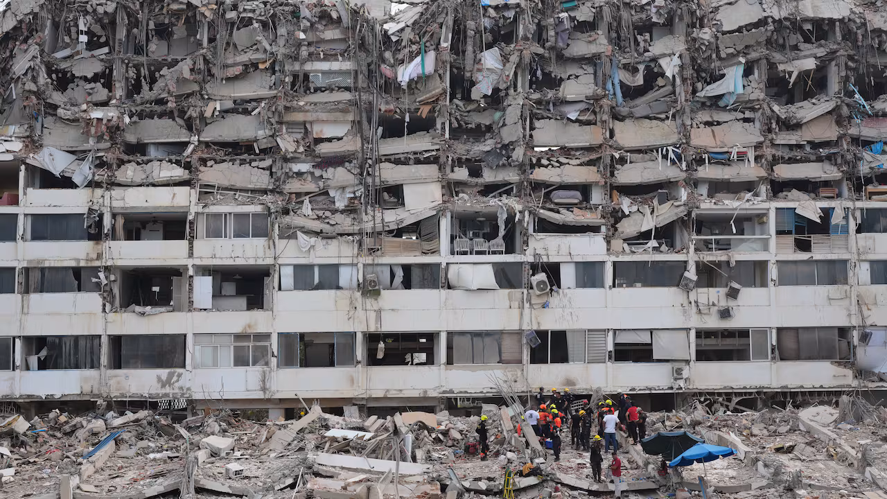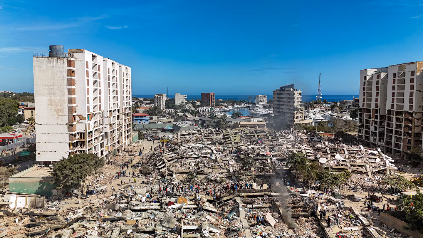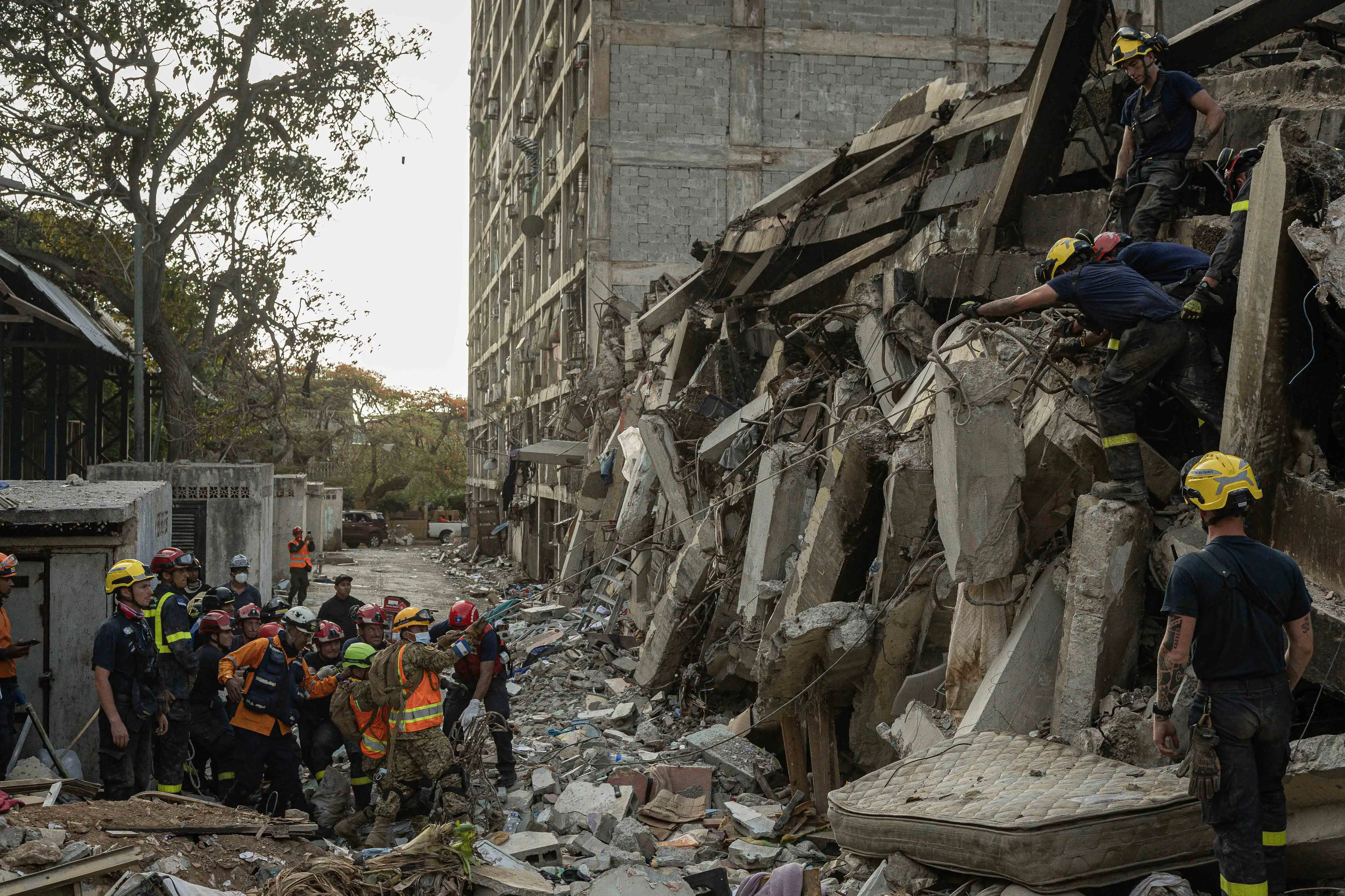
A preliminary NASA satellite assessment estimated that 58,870 buildings were damaged or destroyed by earthquakes that struck Venezuela. Photo by Henry Chirinos/EPA
June 30 (UPI) -- A preliminary satellite assessment by the National Aeronautics and Space Administration estimated that 58,870 buildings were damaged or destroyed after the twin earthquakes that struck Venezuela on June 24, as the death toll climbed above 1,700.
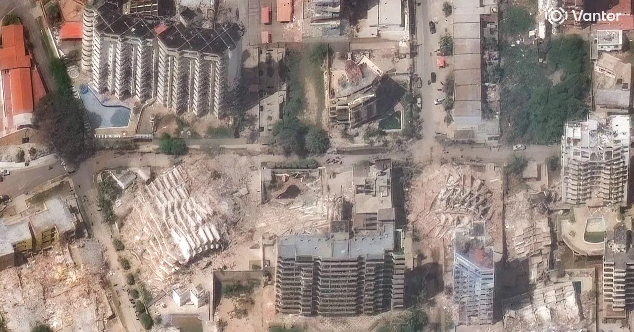
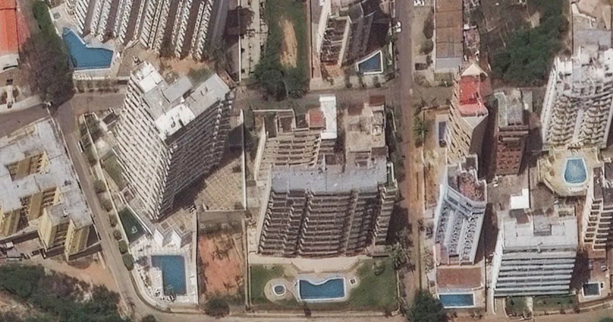
The assessment offers one of the clearest pictures yet of the scale of the disaster. The analysis was produced using radar data from the Sentinel-1 satellite, part of the European Union's Copernicus Earth observation program.
By comparing satellite imagery collected before and after the disaster, analysts identified abrupt changes in ground stability that indicate severe structural damage or total building collapse. NASA classifies a structure as damaged when at least 50% of its footprint shows a loss of stability.
The agency emphasized that the assessment is a preliminary damage probability map that requires field verification. However, the strongest indicators of widespread destruction are concentrated along Venezuela's central Caribbean coast, including La Guaira state and the Caracas metropolitan area.