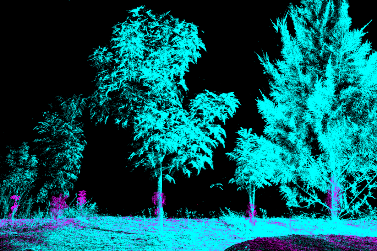
Ground-based laser scanning, called LiDAR, can be used to make detailed maps of forest structure.Such detail can allow for more accurate estimates of the amount of carbon stored in aboveground vegetation, which is helpful for assessing the outcomes of reforestation projects and assigning an accurate number of carbon credits.Carbon credits, bought and sold on the carbon market, are used by companies and other entities to offset their own greenhouse gas emissions.But experts caution that transparency, not estimation accuracy, remains the carbon market’s biggest challenge.
Forests are natural carbon sinks. But as reforestation of degraded land is becoming a global climate solution, a persistent question lingers: How do we know how much carbon a forest is actually storing?
Researchers say ground-based laser scanning, or LiDAR, could improve the efficiency of measuring the outcomes of reforestation. And a recent paper published in Ecological Solutions and Evidence found that LiDAR scanning in Australia offered an improvement over other methods of carbon estimation.
LiDAR instruments emit thousands of tiny laser pulses to create complex and intricate 3D maps of a forest’ structure, allowing researchers to more accurately estimate how much carbon is contained in its trees. Co-author of the paper Alexander W. Cheesman, a senior research fellow at James Cook University, North Queensland, Australia, calls the technology “transformative.”